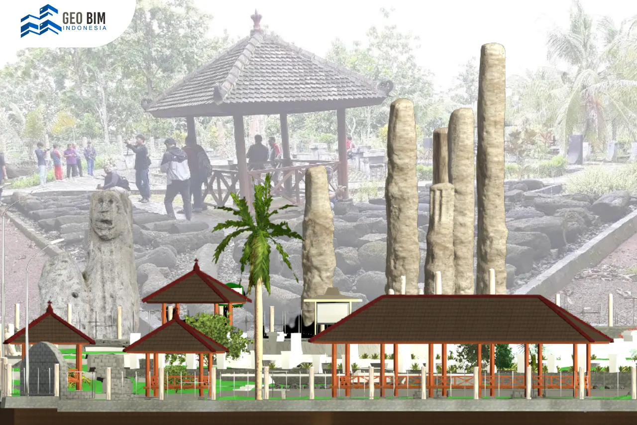
The Sokoliman Strategic Spatial Area (SRS Sokoliman) is a designated strategic area located in Gunungkidul Regency, Special Region of Yogyakarta, Indonesia, recognized for its historical, cultural, and geological significance. Within this area, Sokoliman Site plays an important role as a cultural heritage preservation site that contains archaeological remains from the megalithic period, including menhirs, waruga (stone burial structures), and stone burial slabs, which reflect ancient belief systems and burial practices. The SRS Sokoliman also includes other key locations such as Gondang Legi Site, Goa Pindul, and Goa Longop, each contributing unique heritage and landscape value that requires careful and sustainable management.
One of the main challenges in managing this strategic area is the lack of integrated three-dimensional spatial data that accurately represents current site conditions. Conventional two-dimensional maps are often insufficient to capture the complexity of karst landscapes, caves, and heritage objects with irregular geometries. In addition, the management of a strategic area requires spatial data that complies with applicable technical standards to support planning, conservation, and long-term documentation of cultural assets.
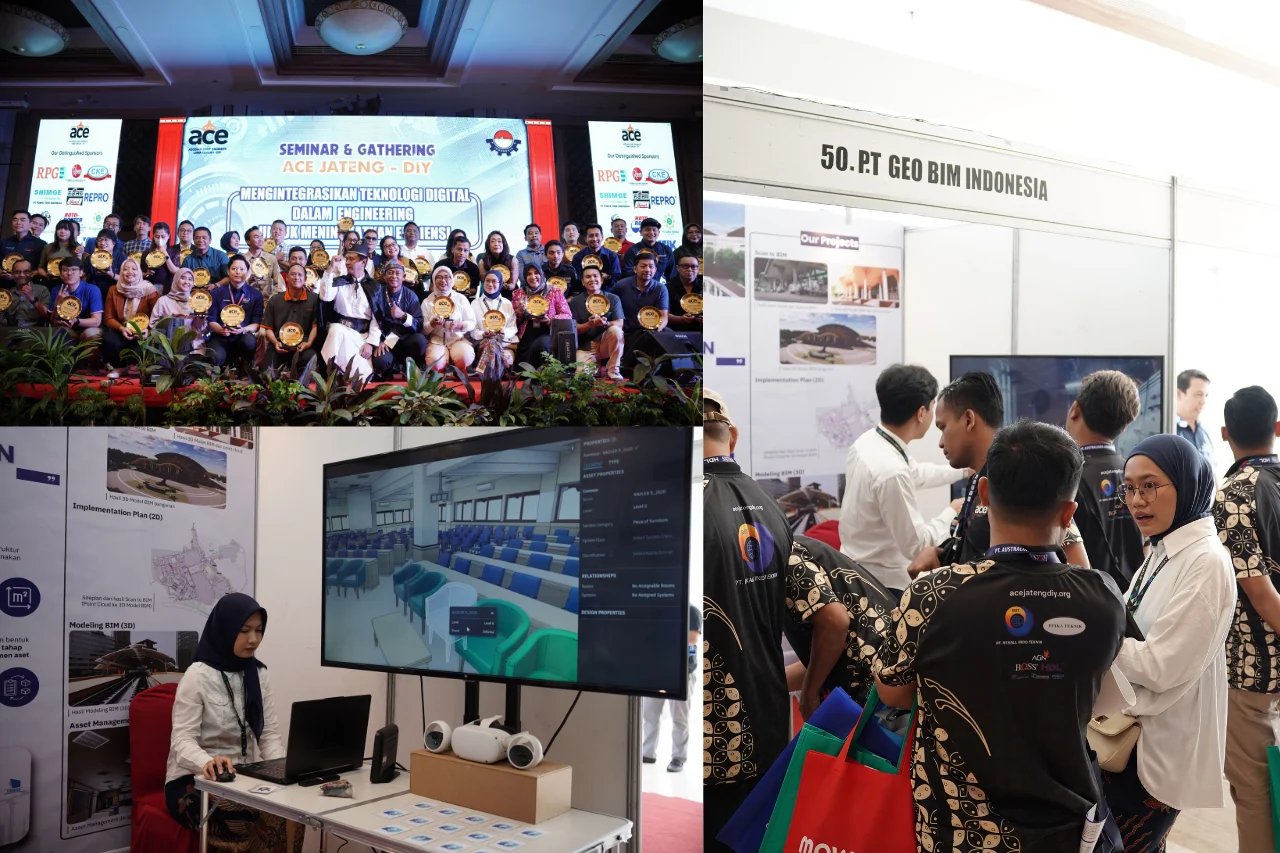
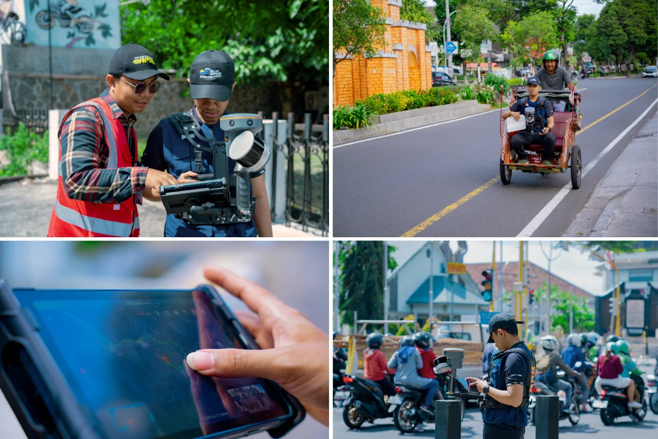
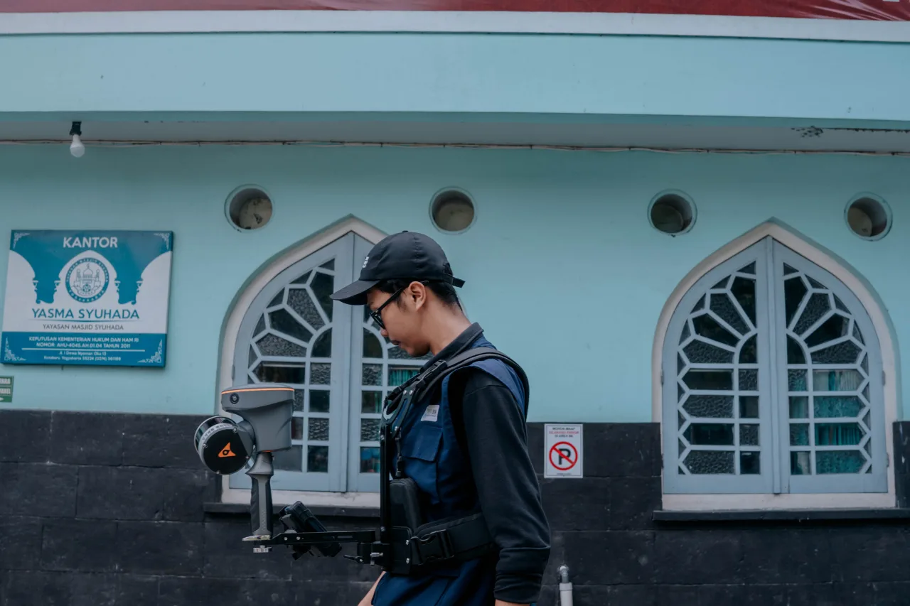
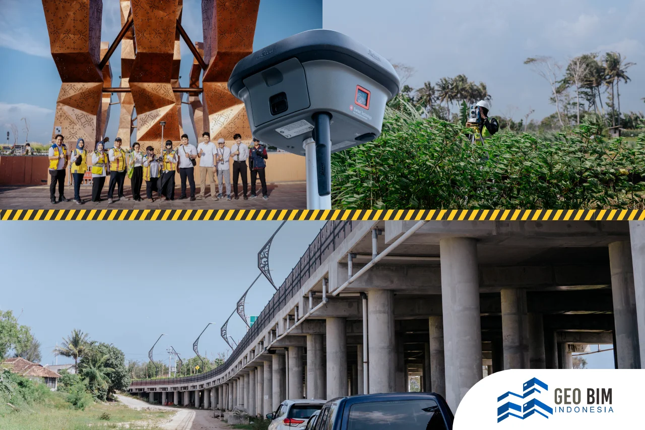
To address these challenges, Geo BIM Indonesia delivers a comprehensive solution through its Scan to BIM services, producing BIM-based 3D models derived from precise field measurements. Data acquisition for the SRS Sokoliman project was conducted using Terrestrial Laser Scanner (TLS) and LiDAR, supported by orthophoto data for visual validation. The survey and modeling activities covered an area of approximately 2,600 hectares, resulting in an integrated and reliable spatial dataset.
The acquired data were processed into a 3D BIM model with defined Levels of Detail (LOD) to balance accuracy and efficiency. LOD 200 was applied to supporting elements and macro-scale components, while LOD 300 was implemented for key areas and critical objects requiring higher geometric accuracy. This approach ensures that the resulting model meets technical specifications and is suitable for planning, analysis, and visualization purposes.
The primary objective of this Scan to BIM project is to provide a Strategic Spatial Area dataset for Sokoliman that represents actual site conditions based on accurate measurement and data acquisition, while generating a 3D model compliant with applicable technical standards. The resulting model covers Sokoliman Site, Gondang Legi Site, Goa Pindul, and Goa Longop, serving as a reliable foundation for integrated planning, heritage preservation, and strategic area management.
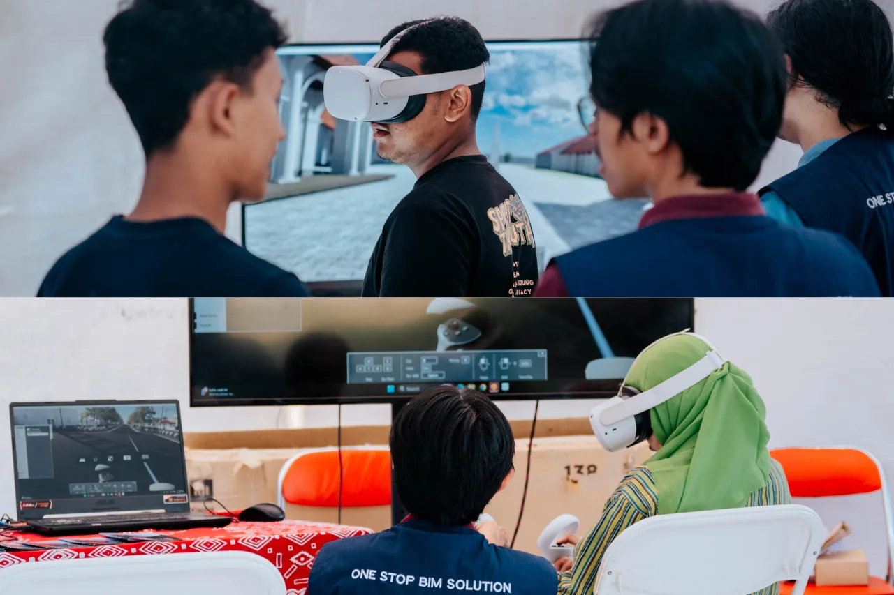
Through BIM-based 3D modeling and visualization tools such as walkthroughs, the data becomes not only a technical record but also an effective communication medium for stakeholders. This project highlights the role of laser scanning, LiDAR, and BIM technologies in supporting the digital preservation of heritage areas, while reinforcing GeoBIM Indonesia’s commitment to delivering accurate, trusted, and sustainable geospatial and BIM solutions.