
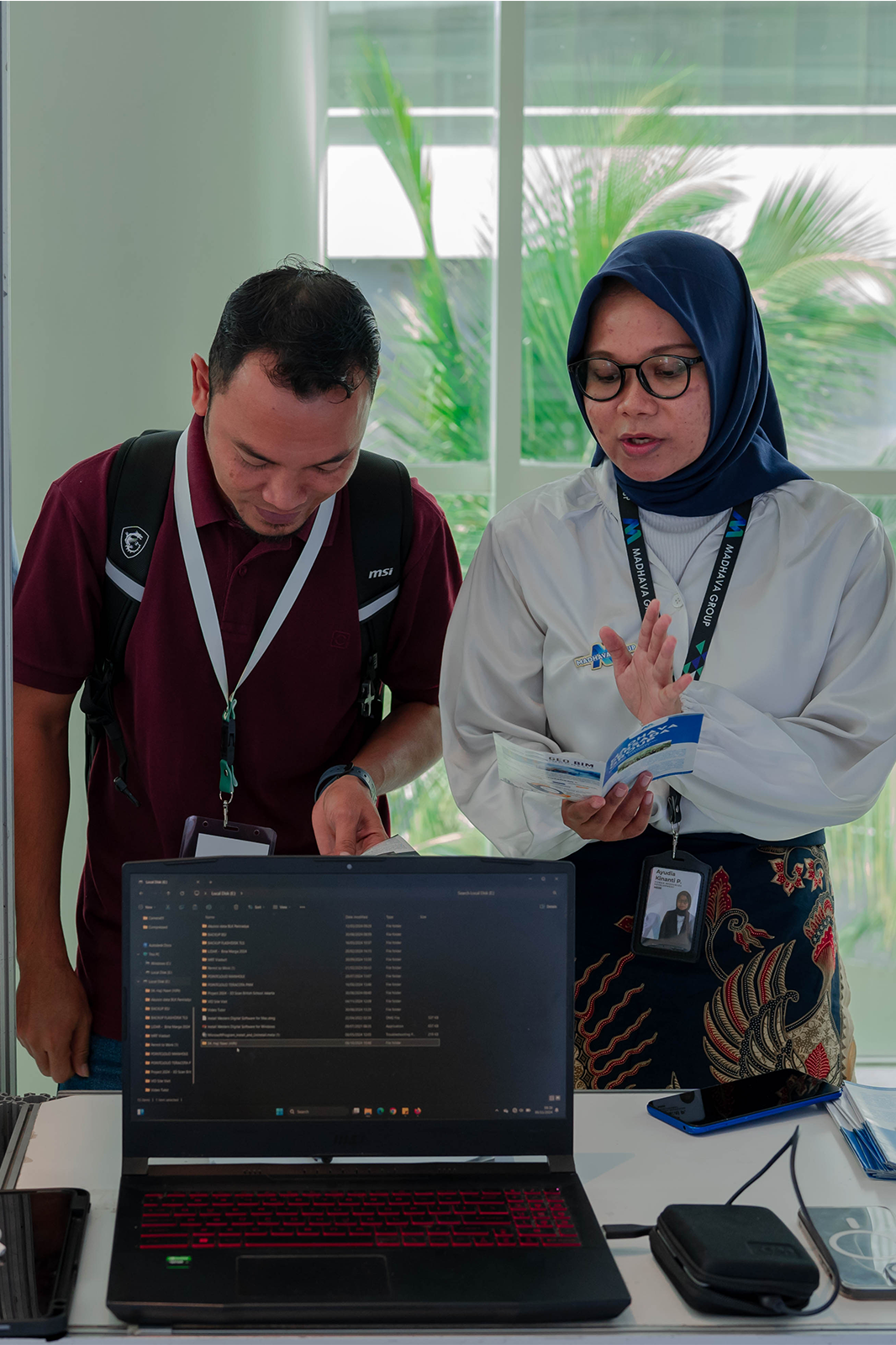
One Stop BIM Solution
We are committed to providing comprehensive and integrated solutions for all your BIM needs throughout the entire construction project lifecycle—from planning to maintenance.
Our Services
We offer a wide range of innovative and tailored services to meet the unique needs of our clients,
ensuring high-quality solutions every step of the way.
Registered Point Cloud
Convert Your Scan Data into Ready-to-Use Registered Data with Advanced Point Cloud Registration Technology.
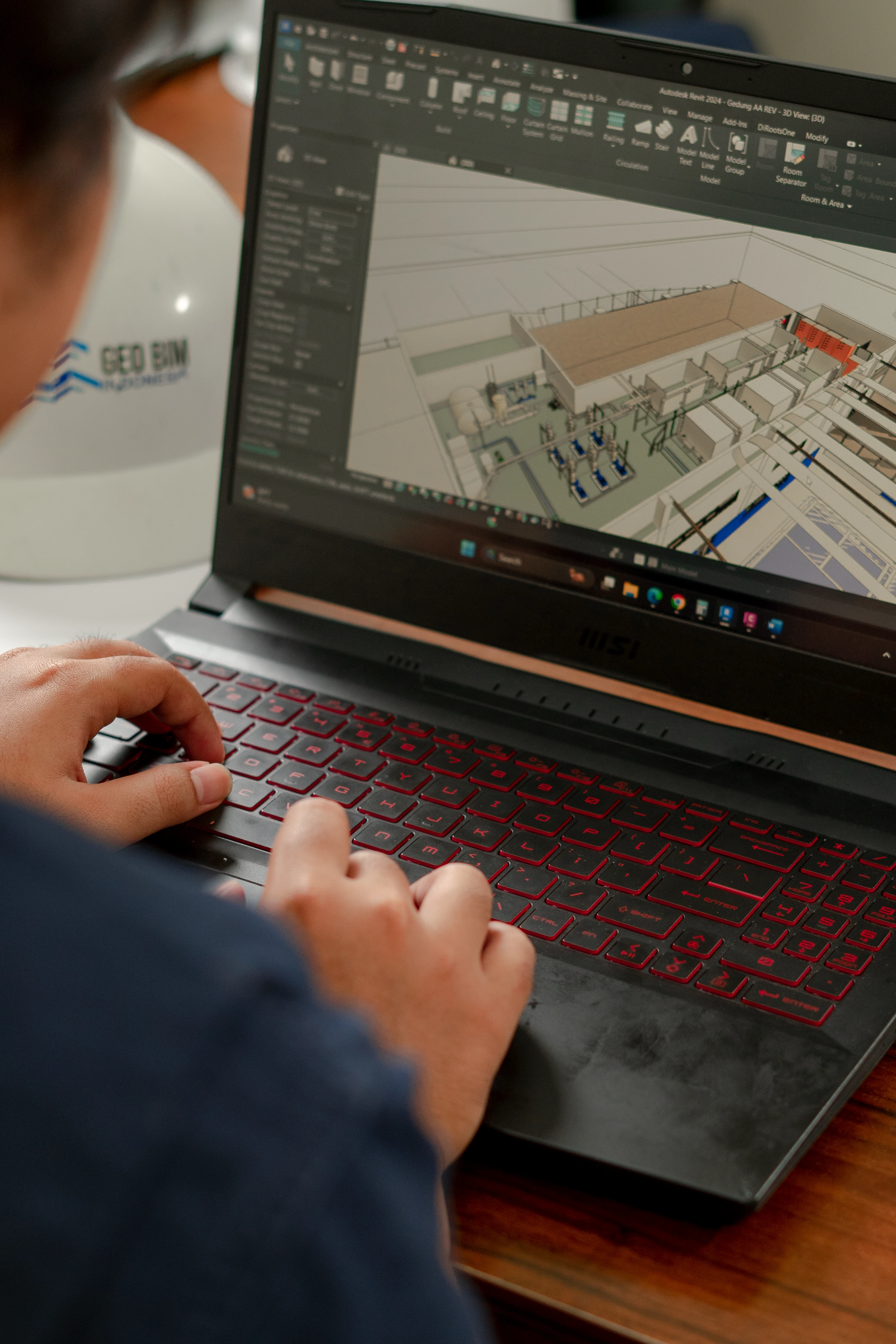
3D Modeling
Build Smarter and Faster with Smart 3D BIM Modeling
Scan to BIM
Turn Real-World Objects/Buildings into Precise 3D Digital Models
Clash Detection Reporting
Avoid Costly Delays with Smart Clash Detection
4D & 5D BIM Service
Accurately Simulate Your Project’s Schedule and Cost
BIM for Facility Management
Maximize Your Building’s Potential with BIM for Facility Management
Panorama Walkthrough
Elevate Your Project Visualization with BIM Panorama Walkthroughs
Visual Design Construction
Unlock Project Excellence with Virtual Design and Construction (VDC)
BIM Monitoring Dashboard
Revolutionize Your BIM Workflow with Our Advanced Monitoring Dashboard
BIM Training and Support
Ready to Master BIM and Elevate Your Projects?
Photogrammetry
Utilize orthophoto to support your project planning more accurately
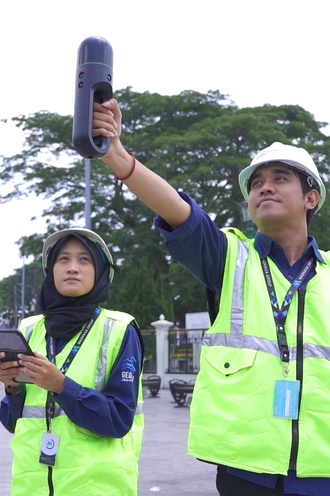
LiDAR
Enhance Your Project Accuracy with Advanced LiDAR & UAV Technologies
Topography Survey
Elevate Your Project with Pinpoint Accuracy
Get Your Free BIM Consultation Today!
Our One Stop BIM Solution helps reduce lost time injury and ensures your project runs smoothly. Contact us now to receive a free consultation and learn how our BIM solutions can streamline your construction process.
Why You Should Choose Geo BIM Indonesia?
We offer innovative and reliable solutions to bring your projects to the next level
Trustworthy & Easy to Contact
With a clear corporate identity and various social media, GeoBIM Indonesia is a company that can be trusted and is easy to contact via several existing channels.
Serve All Good Solution
Based on its tagline "One Stop BIM Solution" GeoBIM Indonesia is ready to provide all the services you need, including various digital survey methods, Scan-to-BIM, also training and supporting.
Great Portfolio
Through various projects successfully handled by GeoBIM Indonesia, the team has professional experiences those are packed in great portfolios as a proof for you how smoothly your project will be.
Our Trusted Clients
We are proud to partner with leading companies across various industries,
providing innovative solutions to meet their needs.


.png)

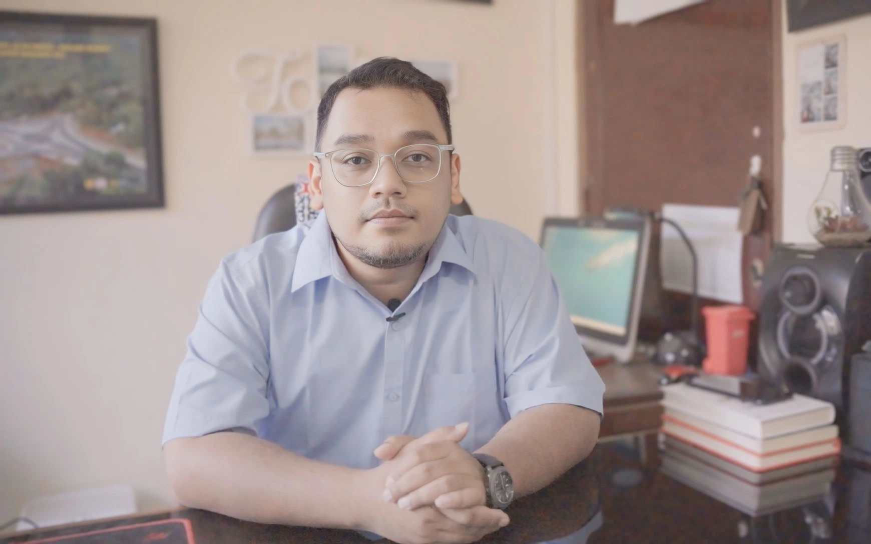
Andi Kurniawan Dharma, S.T., M.URP.
Head of Road and Bridge Construction Section, Highways Division Bina Marga Department PUSPESDM DIY
GeoBIM is one of the consulting service providers that prioritizes technology in its services. GeoBIM is composed of young individuals with high enthusiasm and passion for the construction industry. Throughout our collaboration with GeoBIM, what stands out is their excellent communication and coordination. Whatever we need, they respond promptly, which has a positive impact on the quality of the output produced.
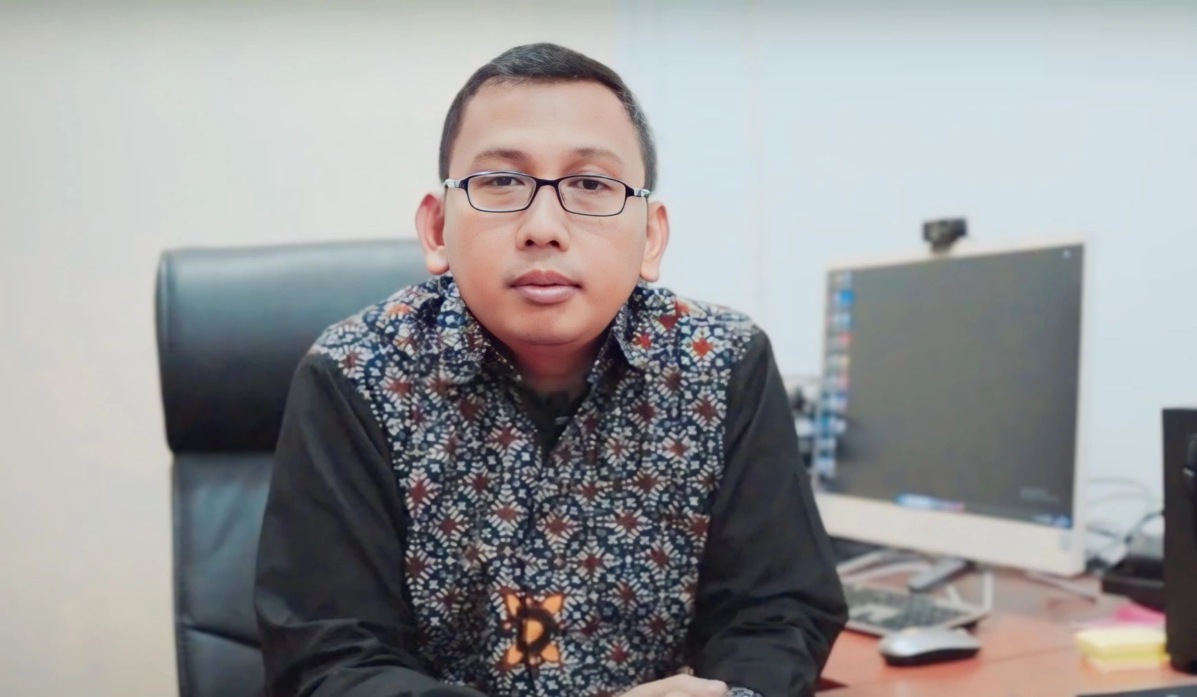
Tri Agus Nugroho, S.Sos., M.Sc.
Head of the Planning and Control Division of Special Affairs.
In this digital era, where speed and accuracy are crucial, the digital maps created by the team from GeoBIM have been very helpful. They allow us to understand the details without having to go to the field, making planning easier and facilitating the digitalization process for other sectoral needs as well

Fajar Nur Rohman
Teacher of DPIB at SMK N 2 Yogyakarta.
Thank you to PT GeoBIM Indonesia for delivering insightful material on BIM, which has broadened our understanding of the BIM world. We also gained knowledge about the many disciplines within BIM. Hopefully, this knowledge will help us become more confident and prepared to face the world of construction. We are truly happy and grateful to have received this material, as it allows us to further develop what has been introduced by PT GeoBIM Indonesia. We hope the collaboration between PT GeoBIM Indonesia and SMK N 2 Yogyakarta continues to grow, bringing even more progress, experiences, and knowledge for us in the future.
Frequently Asked Questions
Find answers to common questions and get the information you need.
What is the unit price of Scan to BIM work?
The price for Scan to BIM is given based on the client's needs regarding the desired LOD (Level of Details), the type of item being modeled, and the source data required. So that the unit price of this work cannot be generalized for all projects.
What is the difference between each LOD in BIM?
BIM provides a variety of LOD options depending on the client's needs. Here is a brief breakdown of the various LODs that we provide:
LOD 200: Fundamental geometry includes approximations of size, form, position, and quantity.
LOD 300: Precise shape, size, and position of geometry that is appropriate for coordination.
LOD 350: Contains interfaces and connections between components.
LOD 400: Manufacturing and assembly information along with fabrication-ready details.
LOD 500: As-built conditions for facility management with validated, field-installed data.
What is the final BIM output?
The final BIM output we provide has several various, such as: Visual Design Construction which includes VR, AR, and driving simulator. Not only that, the output we provide can also be asset and facility management which is a form of 7D BIM. In accordance with our tagline “One Stop BIM Solution” we are ready to provide the type of output required by the client.
How long does the BIM process take?
The length of the BIM process also cannot be generalized because each project has different needs and levels of detail. Basically, the process that takes longer is the modeling process compared to the acquisition process which is relatively shorter.
How is BIM utilized for planning?
BIM for planning includes 3D, 4D, and 5D stages that will include 3D modeling, time, and cost estimation that allows minimization of errors from DED drawings for the next construction phase to providing clash detection reports.
How is BIM utilized for maintenance?
BIM for maintenance will focus more on asset management where BIM allows attributing all existing objects to provide the information, parameters, and attributes needed for each object to facilitate maintenance and minimize the risk of repair.
Difference between 3D Sketch Up and BIM?
The difference between the two is very clear, because 3D SketchUp is a 3D modeling software used for visual design without detailed information about materials, structures, or construction data. Whereas BIM (Building Information Modeling) is a digital process that includes 3D models with detailed data such as materials, costs, schedules, and building lifecycle for collaboration and management of construction projects. BIM is more than just visualization, as it stores information that supports the design, construction, and operational processes of buildings.