
Photogrammetry
Problem We Solve
Conventional survey methods are often time-consuming, require a lot of field labor, and are less effective in difficult terrain such as hilly or vegetation-covered areas. The need for fast, detailed and secure data is often not met. Photogrammetric surveys are here to address these issues by providing a more efficient, time-saving and accurate mapping alternative, even for large areas in a short period of time.
How Does Photogrammetric Surveying Actually Work?
Photogrammetry works by taking aerial photographs using drones. These photos are taken overlapping (covering part of the area), and then processed using specialized software to produce a 3D spatial model. From this process, information such as elevation, contours, land area, and surface conditions are obtained. This data can be used to create topographic maps and orthophotos.
Key Benefits of Photogrammetric Surveying
Lower cost
Reduces labor requirements and survey time in the field.
Flexible
Can be used in various terrains and location conditions.
Fast and efficient
Able to map large areas in a short time with fast processed results.
Accurate data
Produce high accuracy maps and spatial models.
Photogrammetric Surveying Flow
Preparation
Survey area planning, flight route setting, control point identification
GNSS Survey
Measurement of control points using geodetic GPS
Aerial Photogrammetry
aerial photography data acquisition using drones
Geoprocessing
Aerial photo processing produces point clouds, orthophotos, elevation models
Quality Control
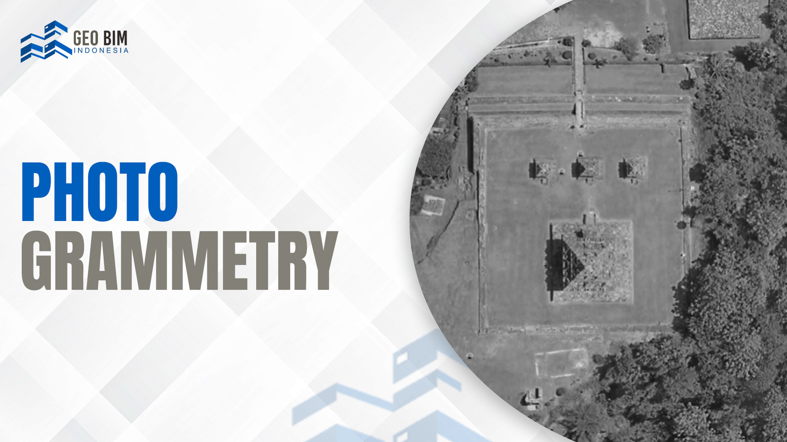
Sample Photogrammetry
Ijo Temple Complex Orthophoto
Experience the precision of our photogrammetric surveys. This high-resolution orthophoto of the Ijo Temple Complex in Yogyakarta provides an accurate and detailed digital representation of the historical temple area.
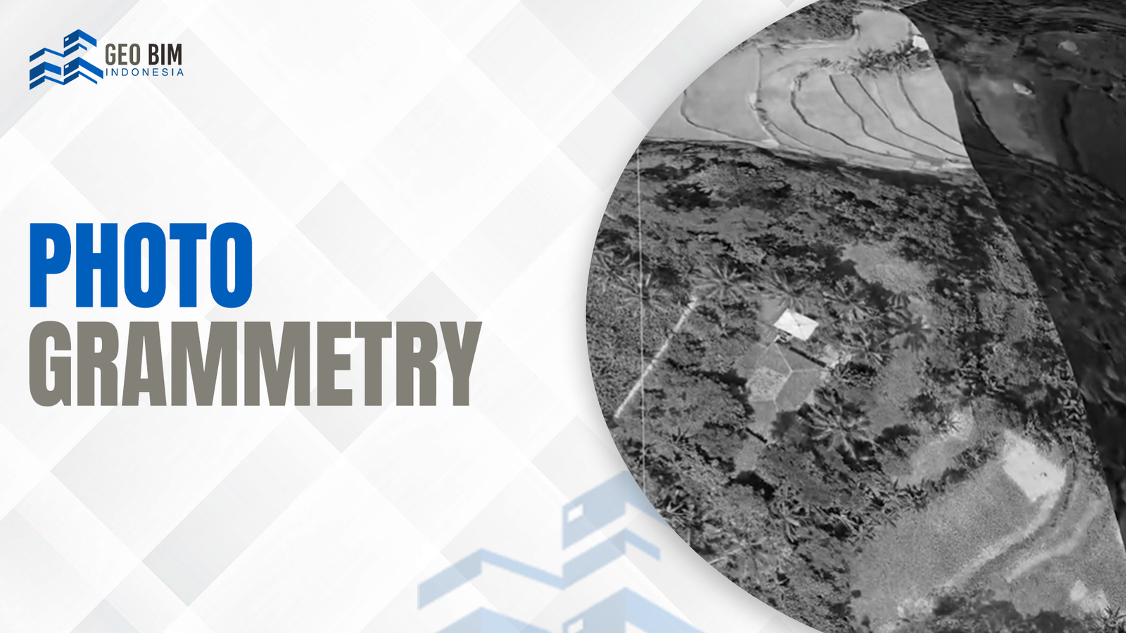
Infrastructure & Utility Planning
Beyond heritage sites, our orthophotos serve as a critical foundation for infrastructure projects. From power line corridors to highway planning, we provide the accurate spatial data needed for modern engineering.