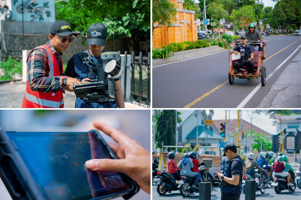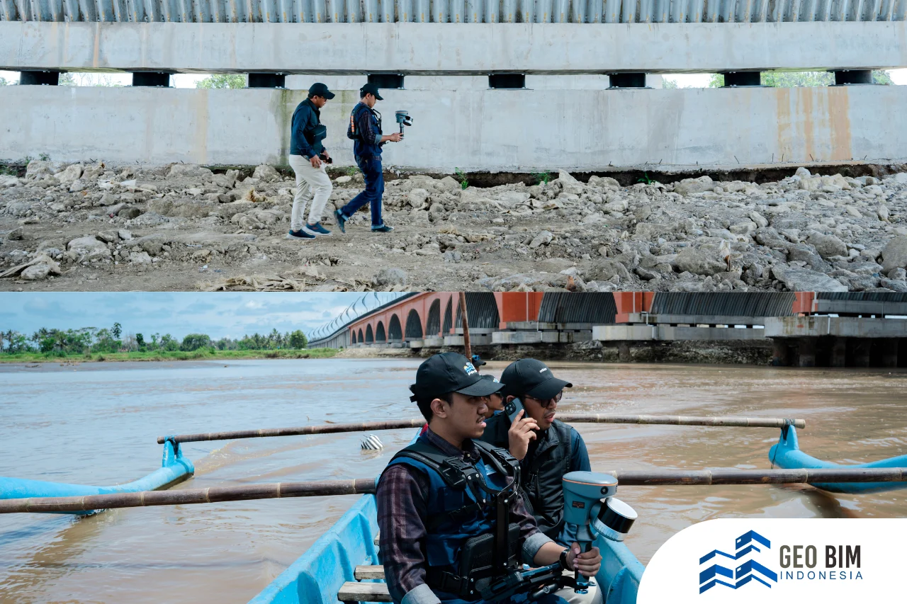
Bantul, Yogyakarta — GeoBIM Indonesia has carried out a 3D Scanning project on the Jembatan Pandansimo, one of the newly inaugurated strategic infrastructures located in the southern coastal area of Yogyakarta.
This activity aims to document the bridge’s current condition in detail and with high precision, while obtaining accurate spatial data as a basis for comparing the design model and actual construction in the field.
Jembatan Pandansimo is recognized as the longest bridge in Yogyakarta, playing a vital role in improving connectivity across the southern coastal region. The bridge links Bantul and Kulon Progo Regencies, crossing the Progo River, and serves as a key infrastructure that facilitates transportation flow between regions. In addition, Pandansimo Bridge acts as a critical corridor for economic activities, tourism, and local mobility across the southern coast of Yogyakarta.
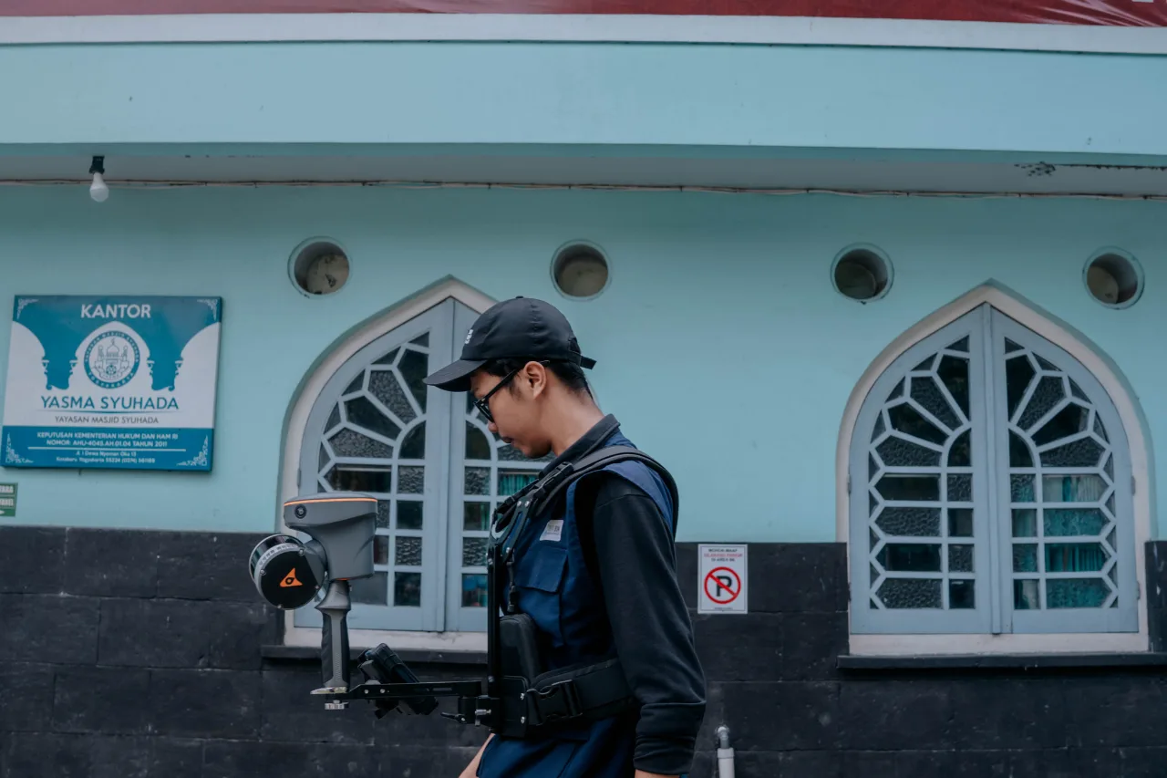
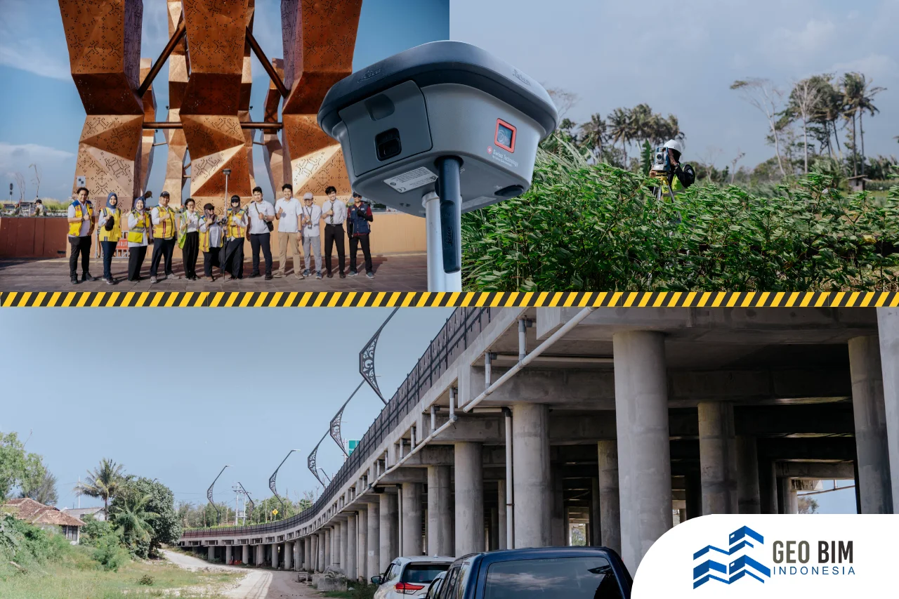
In this project, GeoBIM Indonesia collaborated with the Direktorat Jenderal Bina Marga - Ministry of Public Works. Through a digital and data-driven approach, the GeoBIM team utilized 3D Laser Scanning technology to capture every structural element of the bridge with a high level of accuracy.
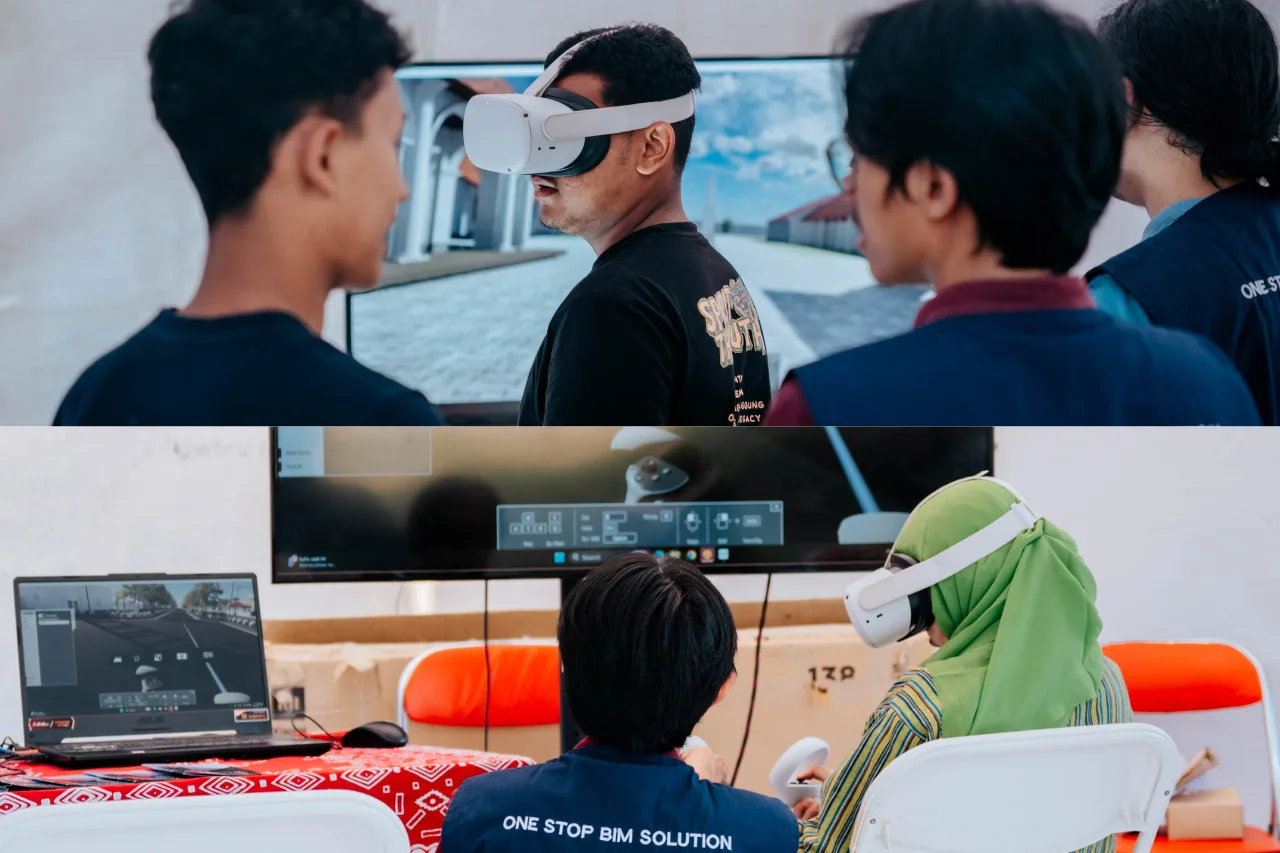
Beyond serving as a form of digital documentation, the 3D Scanning results also represent an important part of the ongoing digital transformation in infrastructure, particularly in the implementation of Building Information Modeling (BIM) for asset monitoring and management. Through this initiative, GeoBIM Indonesia reinforces its commitment to supporting national infrastructure management based on digital technology and spatial data.
The adoption of the Scan to BIM method marks a concrete step toward establishing a more efficient, accurate, and transparent system for infrastructure documentation and analysis. This approach allows every construction element to be verified comprehensively, ensuring alignment between design intent, field realization, and asset performance.
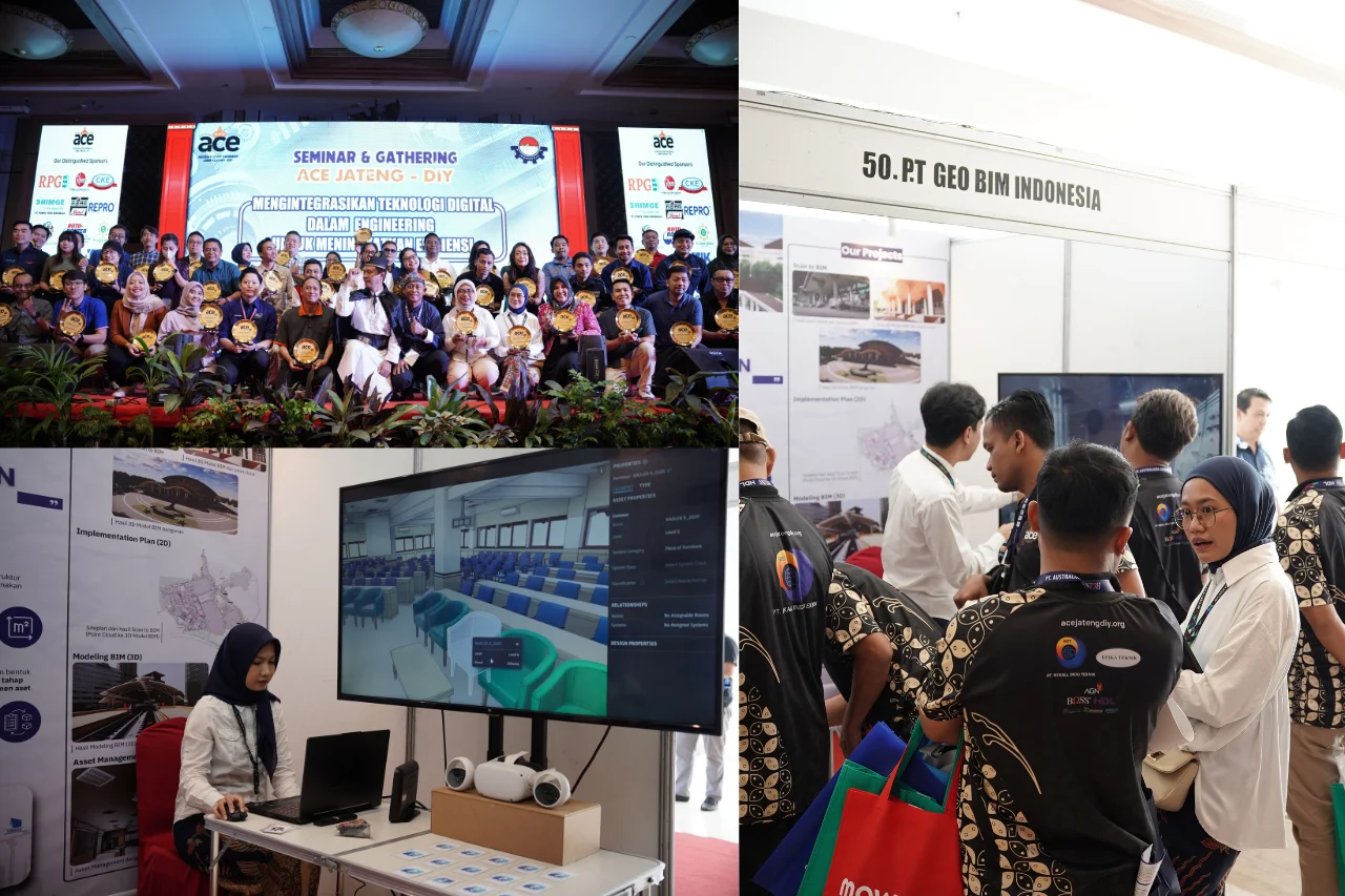
GeoBIM Indonesia continues to play an active role in driving digital transformation within the construction sector, delivering solutions powered by Building Information Modeling (BIM) and high-precision scanning technology to support sustainable and integrated infrastructure development.