Yogyakarta, September 2025 – To support the planning of historical areas, GeoBIM Indonesia, in collaboration with Zonex Geomatics, successfully conducted a field survey of 23 heritage buildings located in the Kotabaru, Yogyakarta. Kotabaru is one of the Satuan Ruang Strategis (SRS) managed by Paniradya Keistimewaan.
“The survey results will be modeled into the SRS Regional Model, which will later serve as the foundation for for the preparation of the Kotabaru Master Plan,” said Yudha Prajantara, Project Manager of GeoBIM.
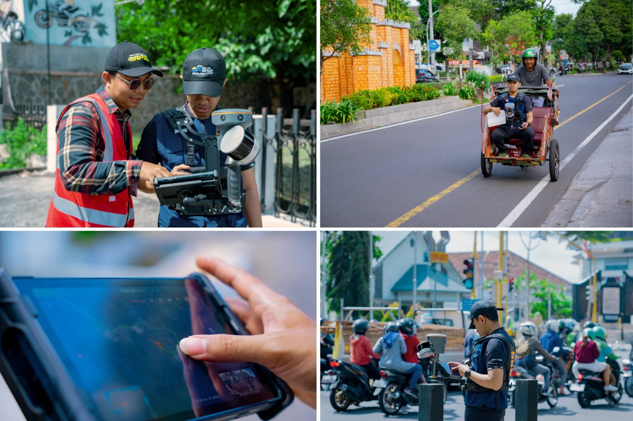
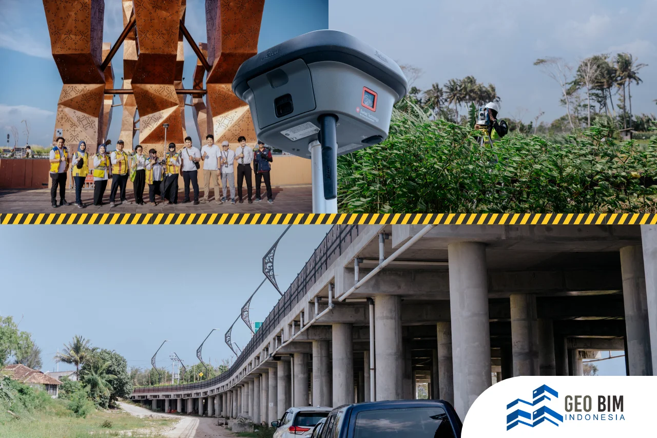
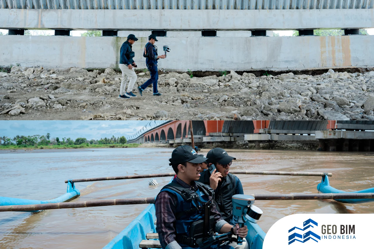
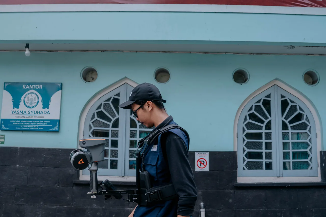
Using the SLAM RS10 (Simultaneous Localization and Mapping) for Scanning, the GeoBIM and Zonex teams managed to scan the heritage buildings in just two days. The SLAM RS10 is a portable device that works by emitting laser beams to measure the distance of surrounding objects, then processes them into a real-time 3D point cloud. Its main advantage lies in efficiency, surveys that typically take several days can be shortened to just a few hours, while maintaining accuracy. This technology is highly suitable for heritage building modeling, architectural surveys, and even the creation of city-scale digital twins.
Among the surveyed buildings were Syuhada Mosque, SMAN 3 Yogyakarta, Museum Sandi, Lempuyangan Station, Bethesda Hospital, Dr. YAP Eye Hospital, Panti Rapih Hospital, as well as several schools, hospitals, and other historical structures. In total, 23 buildings were digitally documented during this initiative. The entire survey process, starting from scanning to processing into a 3D model, is known as Scan to BIM. The point cloud generated from this Scan-to-BIM workflow was then combined with aerial LiDAR surveys, resulting in a comprehensive digital twin of the Kotabaru area.
Kotabaru is a district with significant historical value in Yogyakarta. Many buildings in this area have played vital roles since the colonial era up to the modern day, serving as centers of education, public services, and religious activities. Therefore, digitalizing the area through 3D modeling is a strategic step—not only to preserve cultural heritage but also to lay the groundwork for sustainable development of historical districts in the future.
Stay Tuned for GeoBIM’s Next Adventure in Nusantara!