On August 30–31, 2025, Geo BIM Indonesia proudly participated in the Gebyar Keistimewaan celebration held at Alun-Alun Wonosari, Gunungkidul, Yogyakarta. The event marked the 13th anniversary of the “Undang - Undang Keistimewaan” - Daerah Istimewa Yogyakarta (DIY).
The celebration was filled with a variety of activities, including musical performances, a local “UMKM” bazaar featuring regional products, and various competitions that enlivened the festive atmosphere.
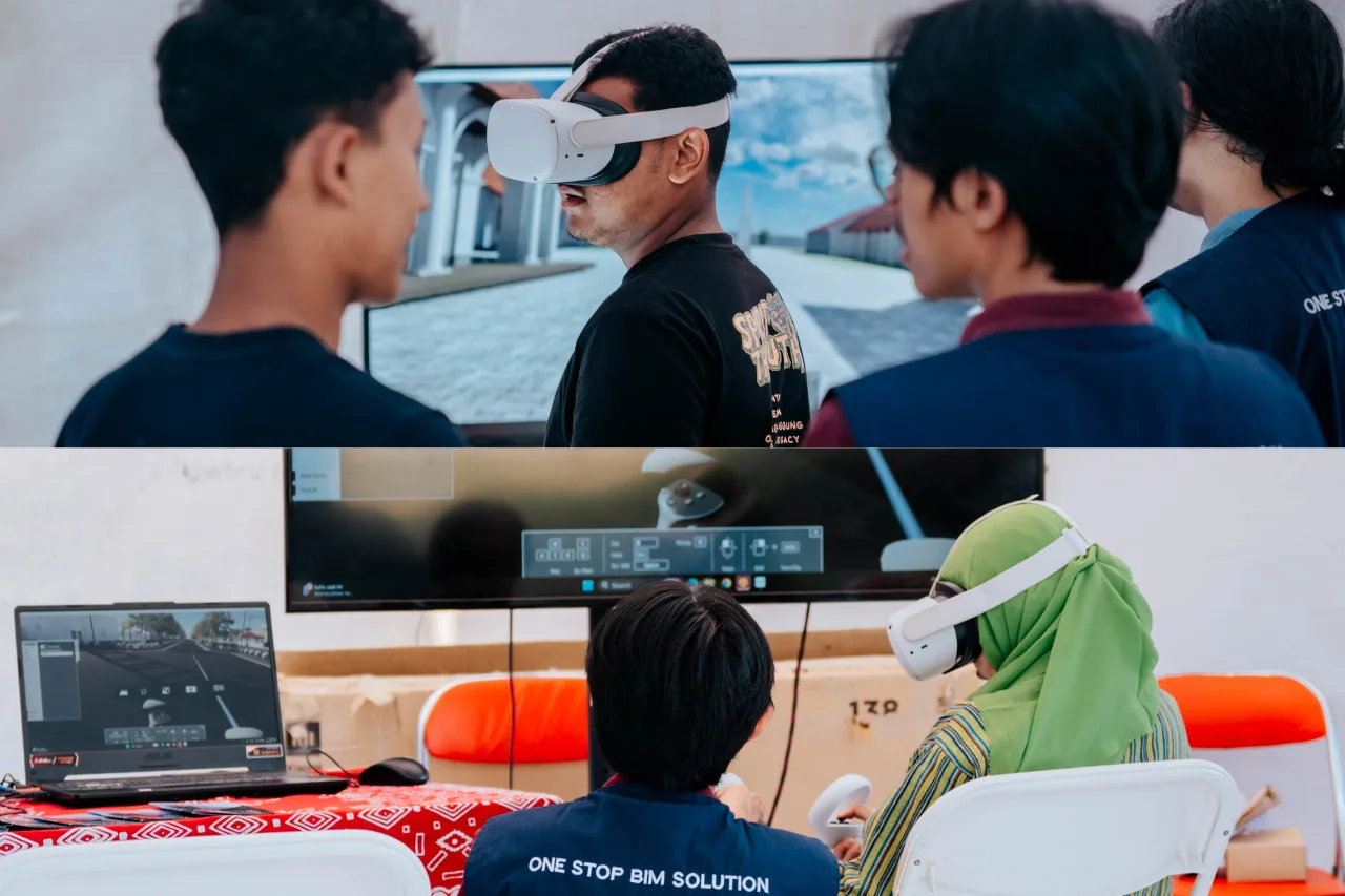
Exploring Cultural Heritage with VR Technolgy
At this event, Geo BIM Indonesia offered visitors a unique experience by inviting them to explore Yogyakarta’s cultural heritage through Virtual Reality (VR). Two significant sites were highlighted:
- The Yogyakarta Cosmological Axis: with a focus on Tugu Golong Gilig and Panggung Krapyak. Recognized by UNESCO as a World Heritage Site, the Cosmological Axis symbolizes deep cultural and philosophical values that reflect the journey of human life. Through BIM modeling and VR technology, visitors were able to virtually “walk along” this sacred line, experiencing its meaning in a digital yet immersive way.
- Sokoliman Archaeological Site: an ancient megalithic area containing menhirs and stone artifacts. With digital modeling, the site can be documented in detail for research, preservation, and educational purposes. Exhibition visitors had the chance to “step into” the site through VR, as if standing among the relics themselves.
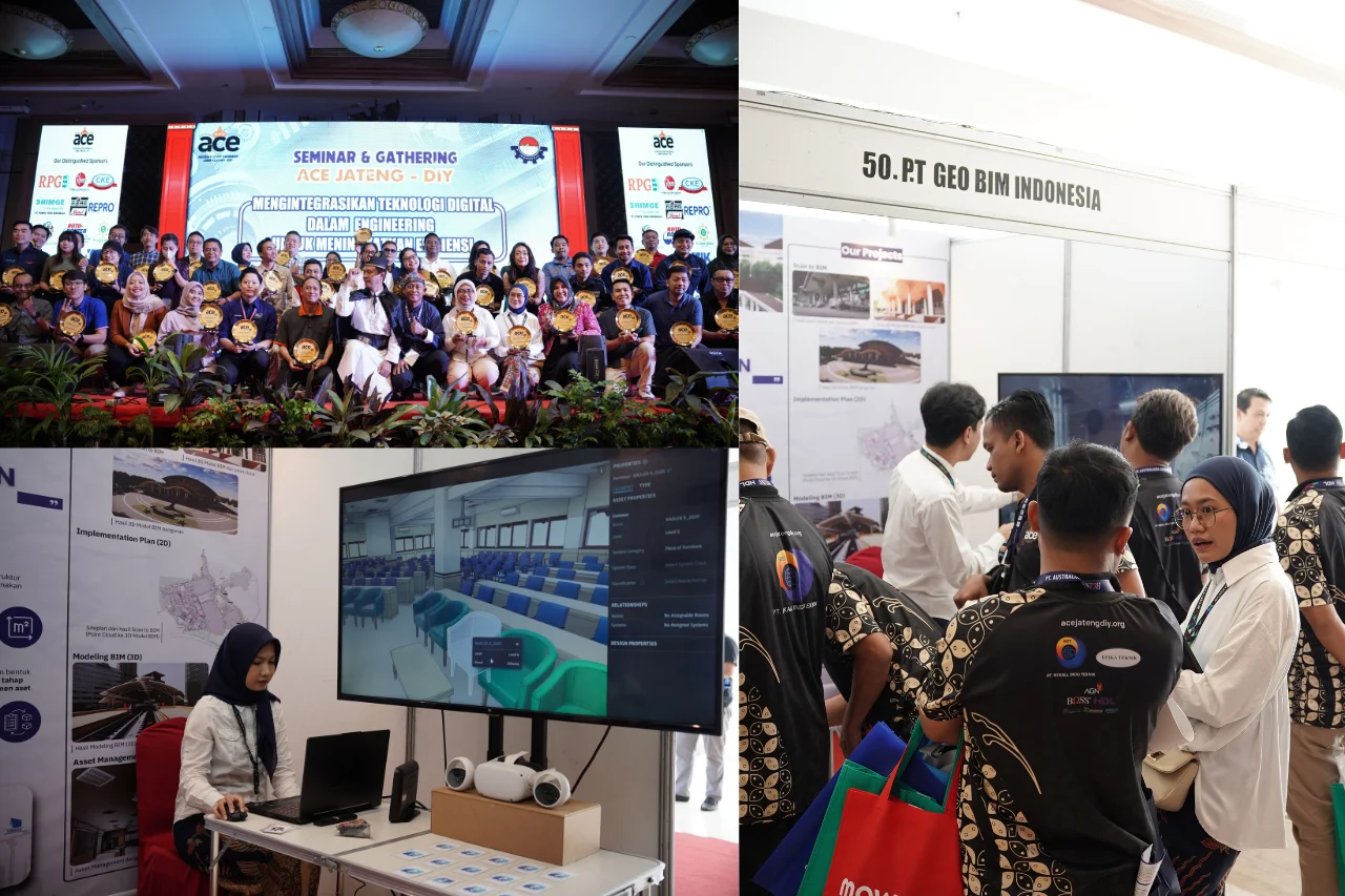
Collaboration with Paniradya Keistimewaan
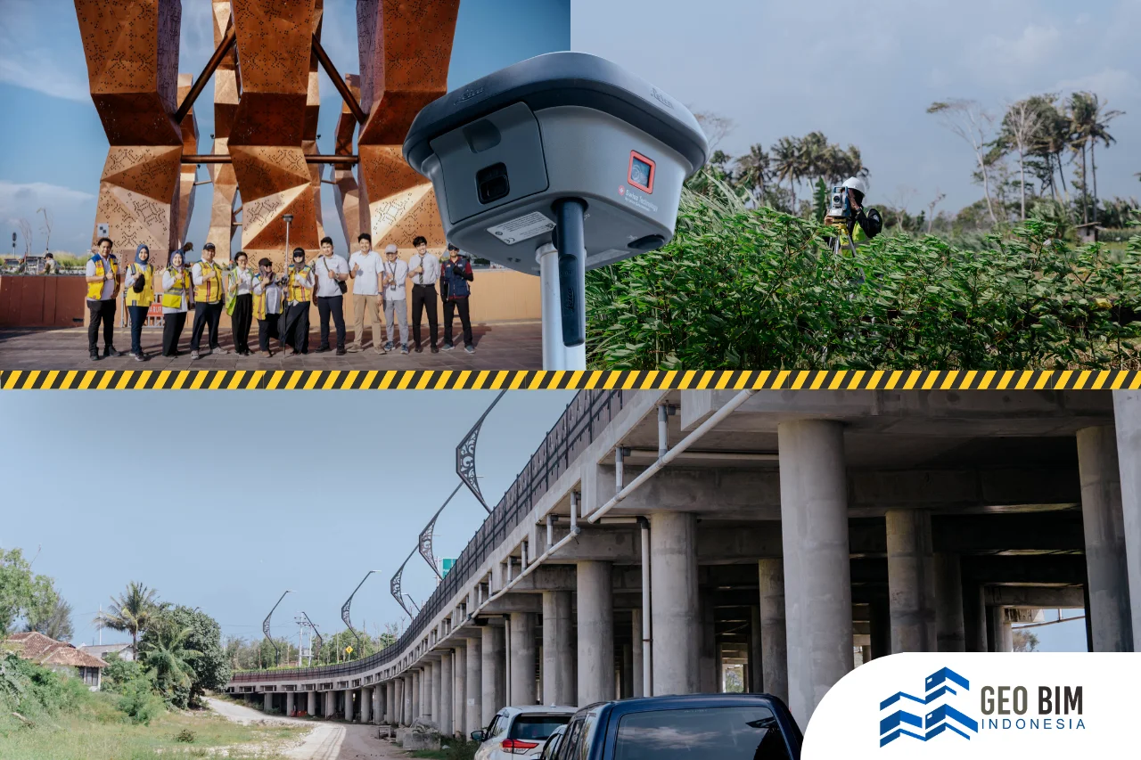
Geo BIM Indonesia continues to collaborate with the Paniradya Keistimewaan of DIY in the development of Strategic Spatial Units (Satuan Ruang Strategis / SRS). Out of 18 designated areas, five have already been successfully modeled using the Scan to BIM approach:
- The Philosophical Axis
- Sokoliman Site
- Kotabaru
- Prambanan Temple - Ijo Temple
- The Mosque and Royal Tombs of Mataram in Kotagede
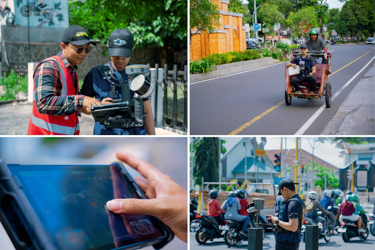
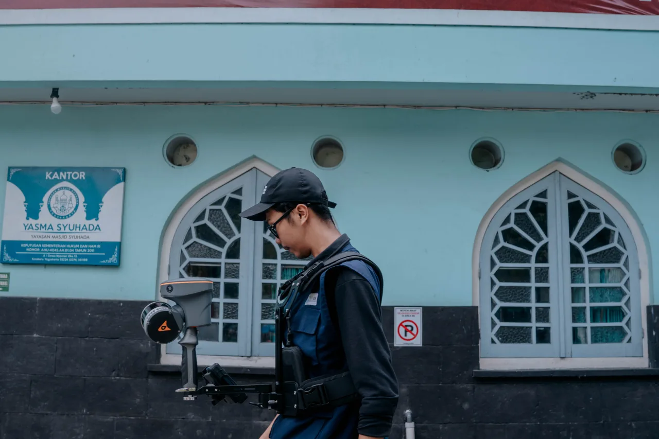
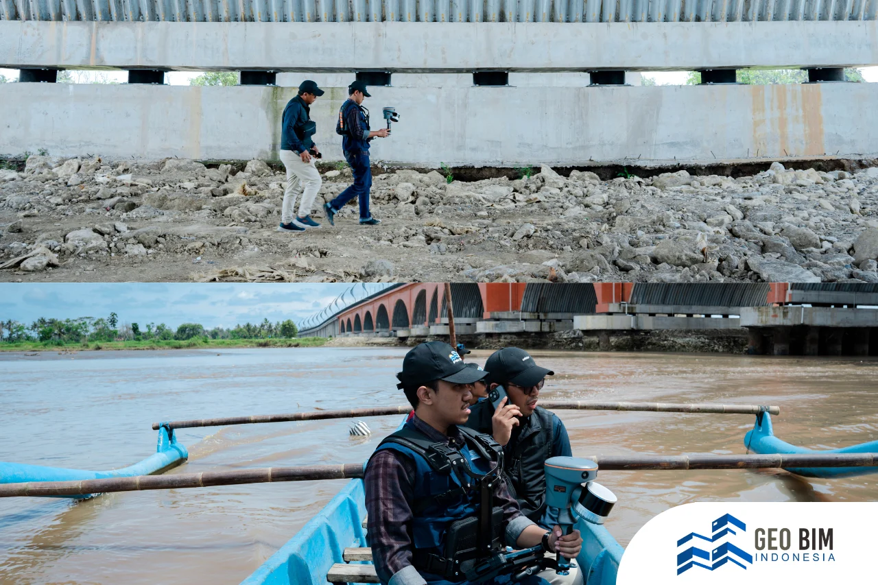
By employing laser scanners and drone-based LiDAR, real-world conditions are captured as a point cloud, containing millions of highly detailed data points. These are then processed into an accurate 3D Building Information Model (BIM). This digital representation not only produces visualizations but also provides comprehensive data that can serve as a foundation for:
- Spatial planning informed by real-world accuracy
- Cultural heritage preservation of sites like the Philosophical Axis and Sokoliman
- Public education through integration with VR
During the exhibition, Geo BIM Indonesia’s booth was honored by the visit of Paniradya Pati Aris Eko Nuhroho and Head of Planning and Control for Special Affairs, Tri Agus Nugroho. Mr. Aris expressed his hope that the SRS models developed by Geo BIM Indonesia will significantly contribute to the region’s spatial planning and cultural preservation efforts.