One Stop BIM Solution
Kotabaru : Part of Satuan Ruang Strategis (SRS), Yogyakarta
Kotabaru is one of the key areas in Yogyakarta designated as a Strategic Spatial Unit (Satuan Ruang Strategis – SRS), a zone of strategic value that requires special attention in spatial planning. The criteria for SRS designation include philosophical, historical, cultural, landscape, and/or heritage significance, making areas like Kotabaru vital to manage with sensitivity and long-term sustainability in mind.
Kotabaru is renowned for its rich architectural heritage, especially Indis-style buildings from the Dutch colonial era. Today, many of these structures have been repurposed into commercial spaces and office buildings. While functional transformation is inevitable, it presents new challenges in preservation, challenges that demand more than just historical narratives. What’s needed is precise and up-to-date spatial data to support informed, context-aware planning decisions.
Inovasi Akuisisi Data : Handheld SLAM CHCNAV RS10
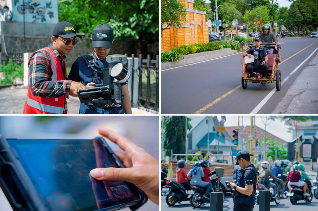
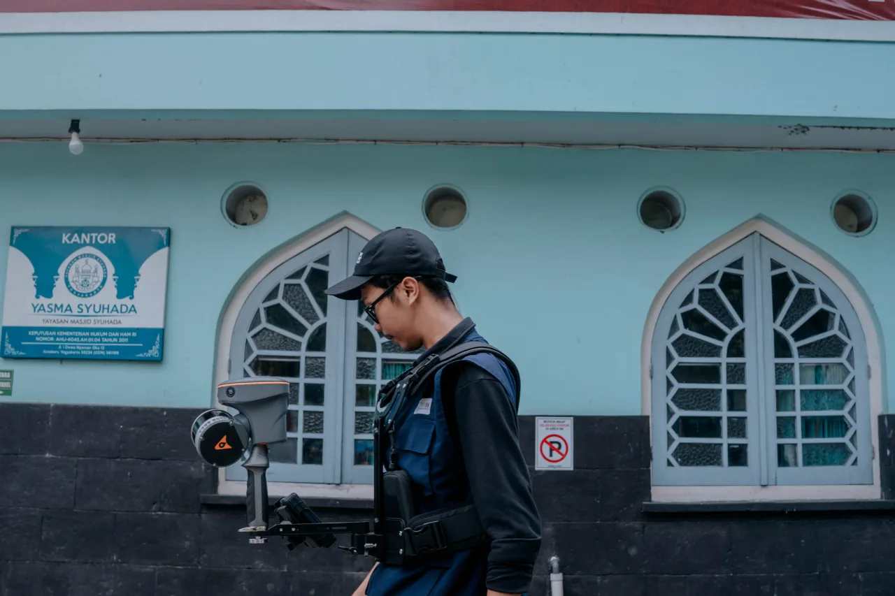
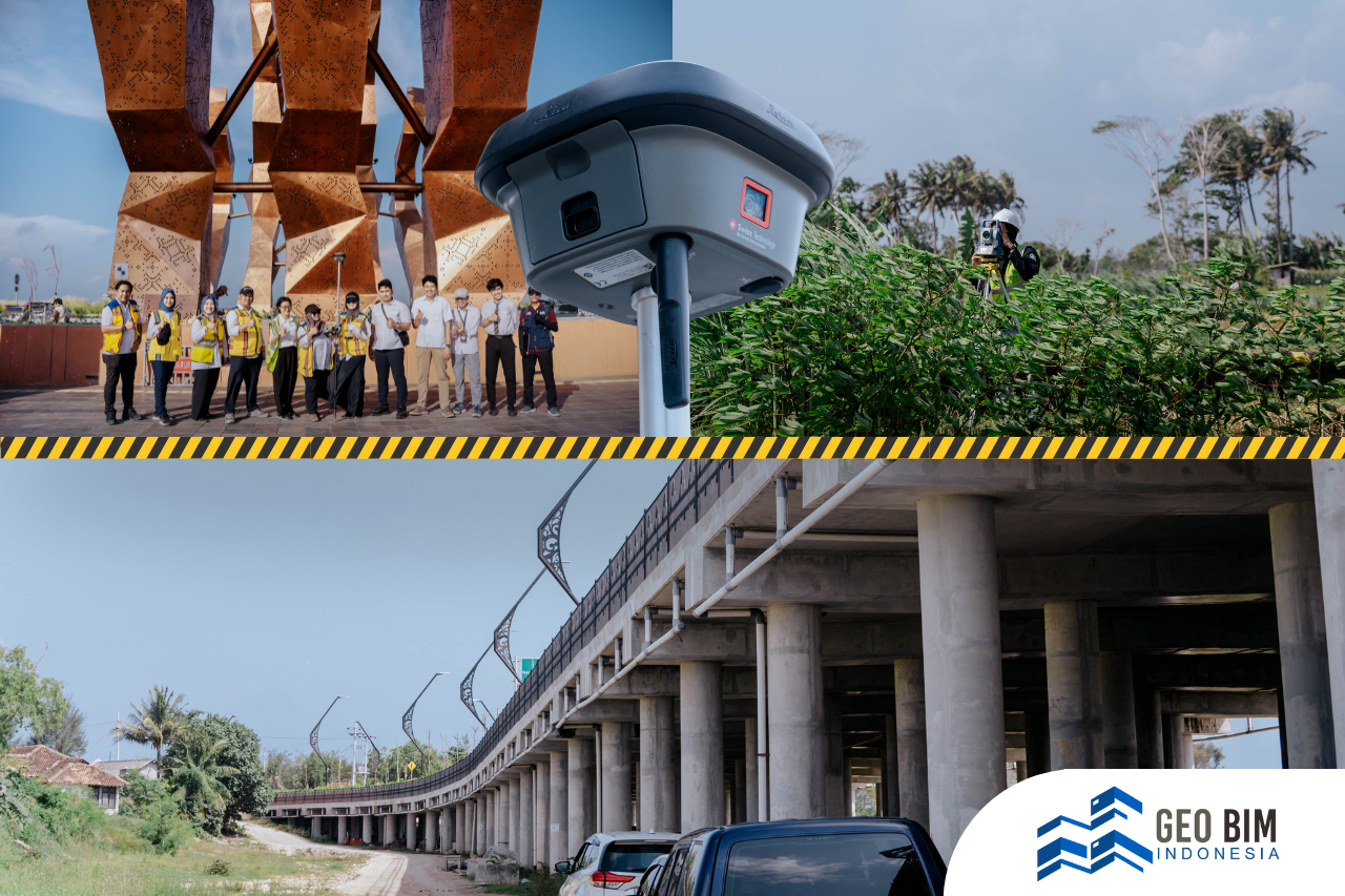
To address this need, GeoBIM Indonesia, in collaboration with Zonex Geomatics, introduced an innovative approach to spatial data acquisition using the Handheld SLAM LiDAR CHCNAV RS10. This compact yet powerful device integrates GNSS RTK, laser scanning, and visual SLAM into a single unified platform, enabling high-accuracy 3D scanning both indoors and outdoors.
Designed to be portable and easy to operate by hand, the RS10 provides exceptional flexibility across diverse site conditions. One of its key advantages is the ability to collect real-time spatial data, even in areas with weak or no GNSS signal. The system produces directly georeferenced point clouds on site and offers instant feedback on collected data, allowing operators to make real-time adjustments and ensure full coverage of the scanned area.
Scan to BIM for Urban Planning
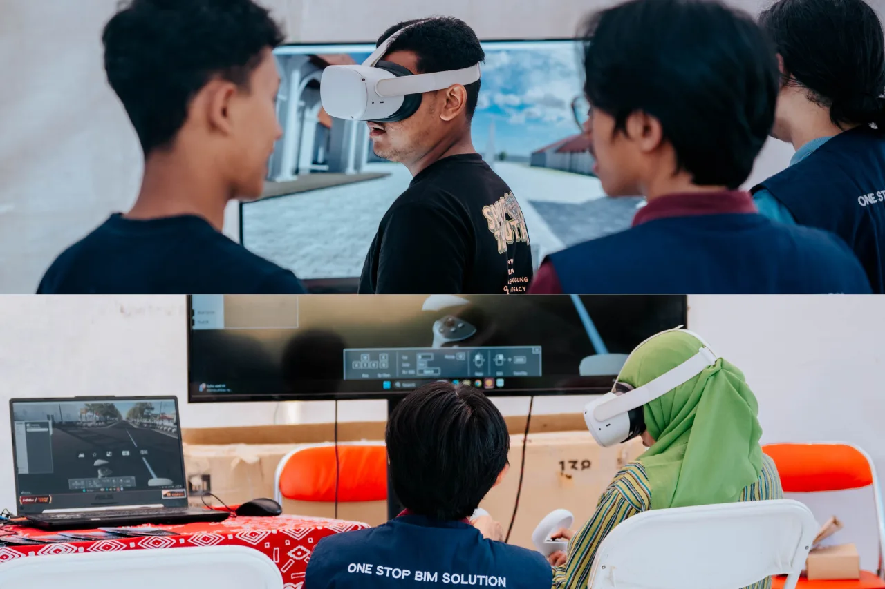
The field scanning produced detailed point clouds capturing the shapes and positions of buildings and objects within Kotabaru. These datasets are then developed into 3D digital representations, forming the foundation for Building Information Modeling (BIM). Through Building Information Modeling (BIM), spatial data is not only visualized but also analyzed to support a wide range of applications. These include the preservation of heritage buildings, monitoring of structural conditions, conservation planning, facility management, and risk mitigation related to area development and change.
The integration between SLAM and BIM is an important step in encouraging urban planning that is more adaptive, precise, and sustainable, without ignoring the historical values inherent in the area. As a trusted BIM and geospatial consultant, GeoBIM Indonesia is committed to providing technology-based solutions to support urban planning, strategic area management, and sustainable infrastructure development.
