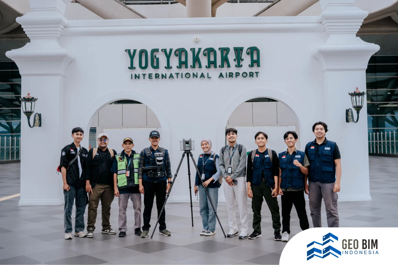
Yogyakarta International Airport (NYIA) is one of Indonesia’s strategic infrastructures with high daily activity. The greater the passenger volume, the greater the demand for facility maintenance. As an airport operating 24/7, its facility management must be conducted quickly, accurately, and efficiently to ensure smooth day-to-day operations.
However, traditional manual facility management is no longer effective. Time-consuming inspections, scattered asset data, and the potential for human error present significant challenges for managing large-scale facilities such as airports. This is why NYIA has begun transitioning toward digital transformation through the Scan to BIM approach.
What Is Scan to BIM and Why Is It Important for Airports?
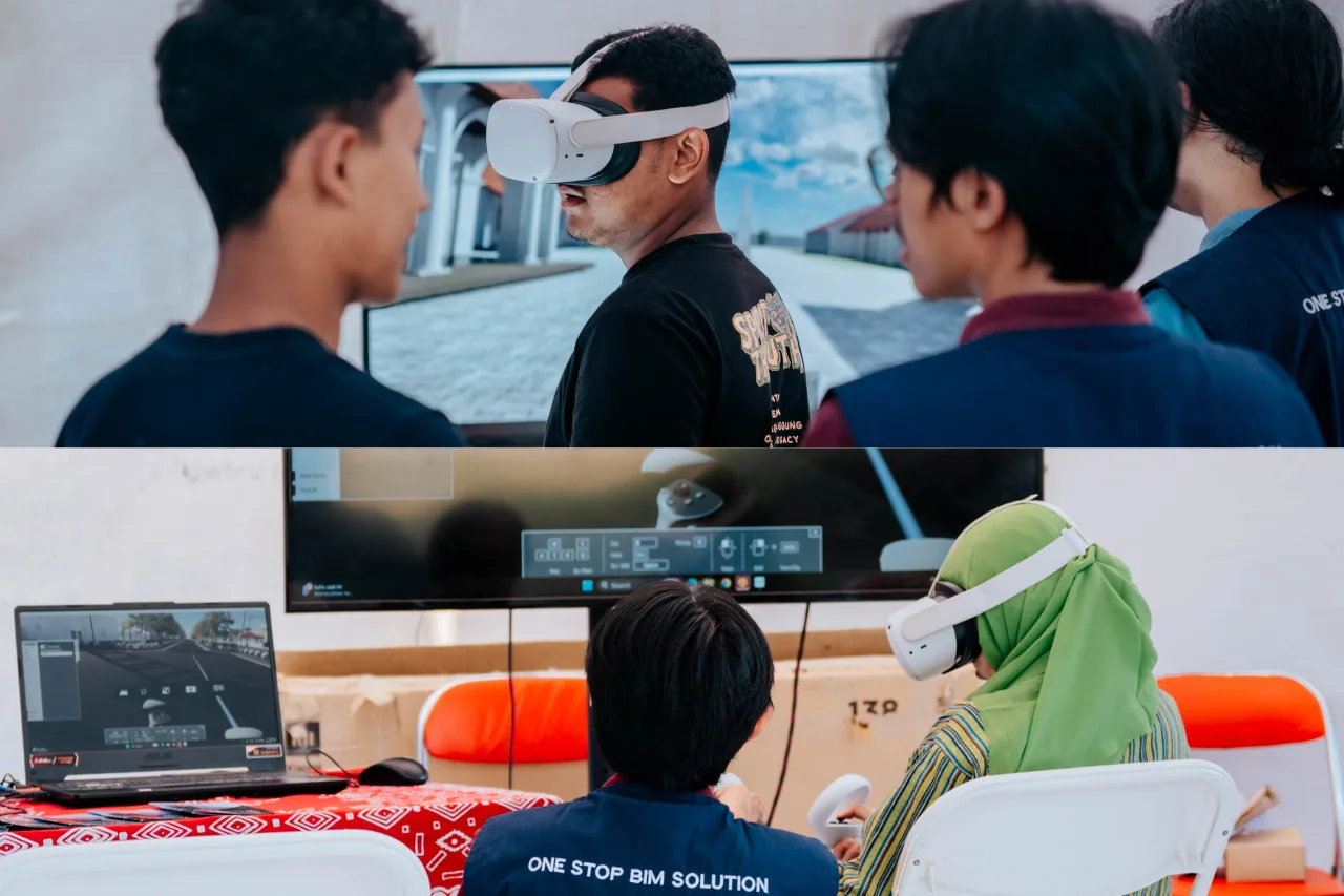
Scan to BIM (Building Information Modeling) is the process of capturing actual building conditions using 3D scanning technologies—such as LiDAR or laser scanners—and converting them into an accurate digital 3D model. The resulting model is not just a visual representation; it contains complete information about every facility element.
As a public facility, NYIA:
- Covers a large area with thousands of assets
- Requires regular and scheduled maintenance
- Must meet strict safety and operational standards
- Needs to optimize both cost and time efficiency
By adopting Scan to BIM technology, facility management becomes more accurate and structured. The 3D scanning process generates highly detailed visualizations of the building, including structural components, MEP (Mechanical, Electrical, Plumbing) systems, and interior elements. All asset data, such as age, specifications, precise location, maintenance history, current condition, and estimated maintenance cost, can be consolidated into a single BIM platform. This eliminates the risk of scattered or unsynchronized data, giving facility managers a complete and centralized view of their assets.
Additionally, the BIM model enables more informed and data-driven decision-making. Facility managers can determine exactly when an asset needs to be inspected, serviced, repaired, or replaced, without relying on assumptions. The speed of the scanning process also reduces the time typically required for on-site inspections and minimizes errors associated with manual methods. The result is a more efficient maintenance workflow, more precise budgeting, and overall improvement in operational effectiveness.
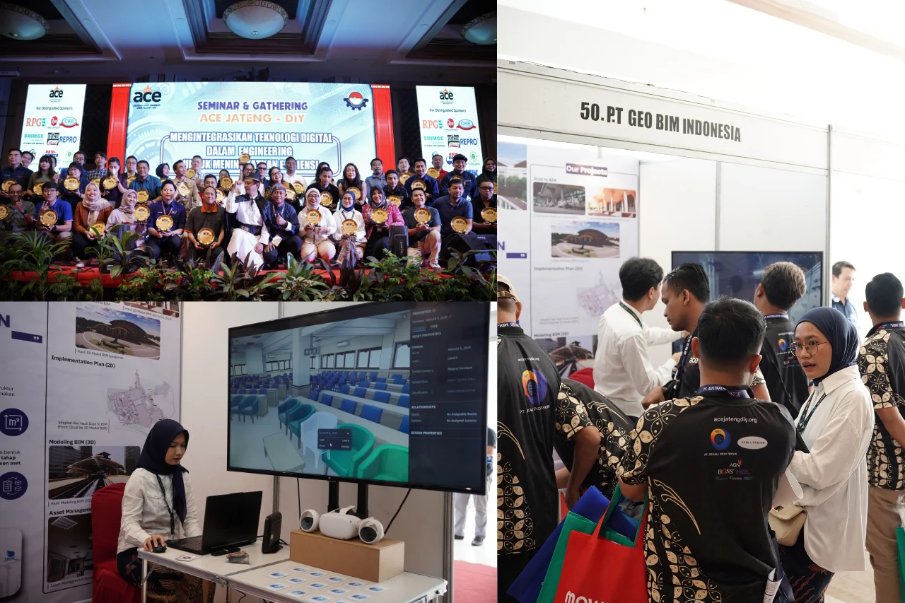
NYIA Has Implemented Scan to BIM with GeoBIM Indonesia
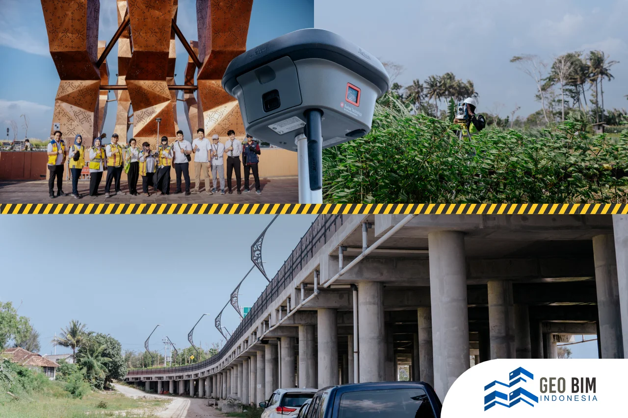
GeoBIM Indonesia was entrusted to carry out 3D scanning in key areas of NYIA, including the terminal exterior and the departure area. The total scanned coverage reached approximately 3.5 hectares. The captured data was then processed into a detailed BIM model, ready to support NYIA’s facility management system.
This initiative marks a significant step for NYIA in adopting Building Information Modeling (BIM) for long-term facility management. By transitioning to a structured digital system, NYIA not only improves operational efficiency but also secures accurate data for proactive, long-term maintenance. The implementation of BIM ensures that every asset is recorded, monitored, and managed more effectively, supporting a modern and sustainable airport facility management standard.
For GeoBIM Indonesia, every detail matters, because complete and precise data is the foundation of a dependable model. As a professional provider of Scan to BIM services, GeoBIM Indonesia is committed to delivering digital solutions for national infrastructure projects. Through the integration of 3D Laser Scanning, drone mapping, and BIM modeling, GeoBIM ensures that every project is supported by accurate, efficient, and ready-to-use spatial data.
As BIM becomes increasingly essential in the digital transformation of the construction and infrastructure sectors, GeoBIM Indonesia stands as a trusted partner capable of handling the entire Scan to BIM workflow, from data acquisition and point cloud processing to detailed BIM modeling that reflects real-world conditions. Supported by advanced technology and an experienced professional team, every project is executed with high precision and in full compliance with national BIM standards.