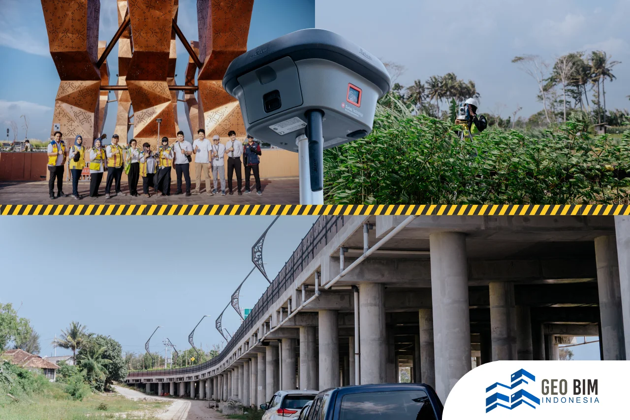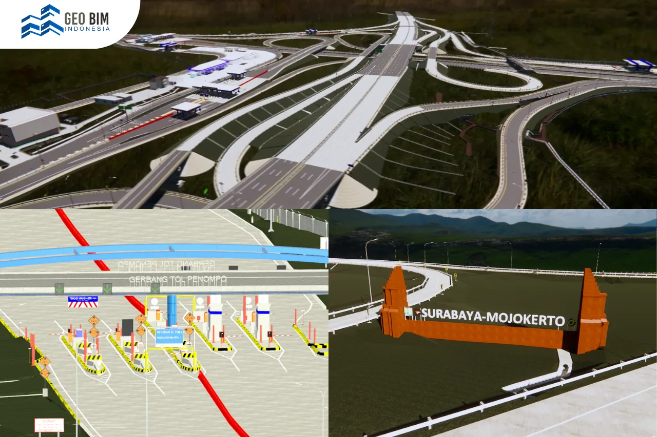
GeoBIM Indonesia has successfully supported the development of digital road infrastructure data through the creation of a 3D Road Ledger Model for the Surabaya–Mojokerto Toll Road. This project was carried out to fulfill the requirements for Road Ledger data by delivering an accurate and integrated three-dimensional representation of toll road assets. In this initiative, GeoBIM Indonesia collaborated with PT Globe Anugrah Persada to ensure that the model meets technical standards and operational needs.
The Surabaya–Mojokerto Toll Road spans a total length of 36.27 kilometers and plays a vital role in supporting regional connectivity and logistics in East Java. Due to the scale and complexity of the corridor, conventional two-dimensional documentation was considered insufficient to comprehensively represent the existing conditions and infrastructure assets along the toll road. Therefore, a BIM-based 3D Road Ledger approach was implemented to provide a more accurate, structured, and updatable digital dataset.
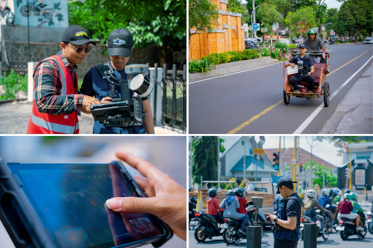
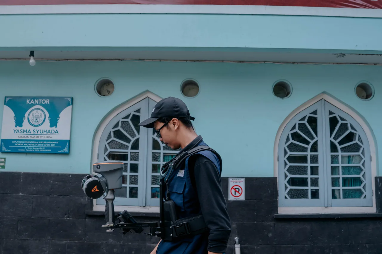
The 3D modeling process was developed using a combination of as-built drawings and Terrestrial Laser Scanner (TLS) point cloud data to ensure geometric accuracy and alignment with actual field conditions. The resulting model was produced at Level of Detail (LOD) 300–350, allowing both precise dimensional representation and sufficient detail for asset management, inspection, and planning purposes. The primary deliverable of the project was a fully integrated 3D Model representing the entire toll road corridor and its associated assets.
The project scope covered a wide range of structural assets along the toll road, including 6 elevated sections, 47 overpasses, 12 underpasses, 2 underbridges, 17 box underpasses, 7 pedestrian bridges, 3 emergency escape ramps, 7 signage units, and 36 utility assets. These elements were modeled to accurately reflect their structural characteristics and spatial relationships within the corridor, forming a reliable digital inventory for road asset management.
In addition to structural components, corridor objects were modeled across 12 areas, covering the main road body, road markings, guardrails, parapets, and reflectors. Building-related assets were also included in the scope, consisting of 12 toll gates, 9 toll offices, and 5 rest areas. To further enhance the completeness of the Road Ledger model, GeoBIM Indonesia delivered detailed 3D representations of traffic signs, street lighting (PJU), CCTV systems, drainage networks, as well as toposolid models for all 12 areas.
The entire project was completed within a duration of 4.5 months, demonstrating the efficiency of integrating laser scanning technology with BIM workflows for large-scale linear infrastructure. Through this project, the 3D Road Ledger model serves not only as a digital documentation of existing assets but also as a strategic foundation for operation, maintenance, and future development of the Surabaya–Mojokerto Toll Road.
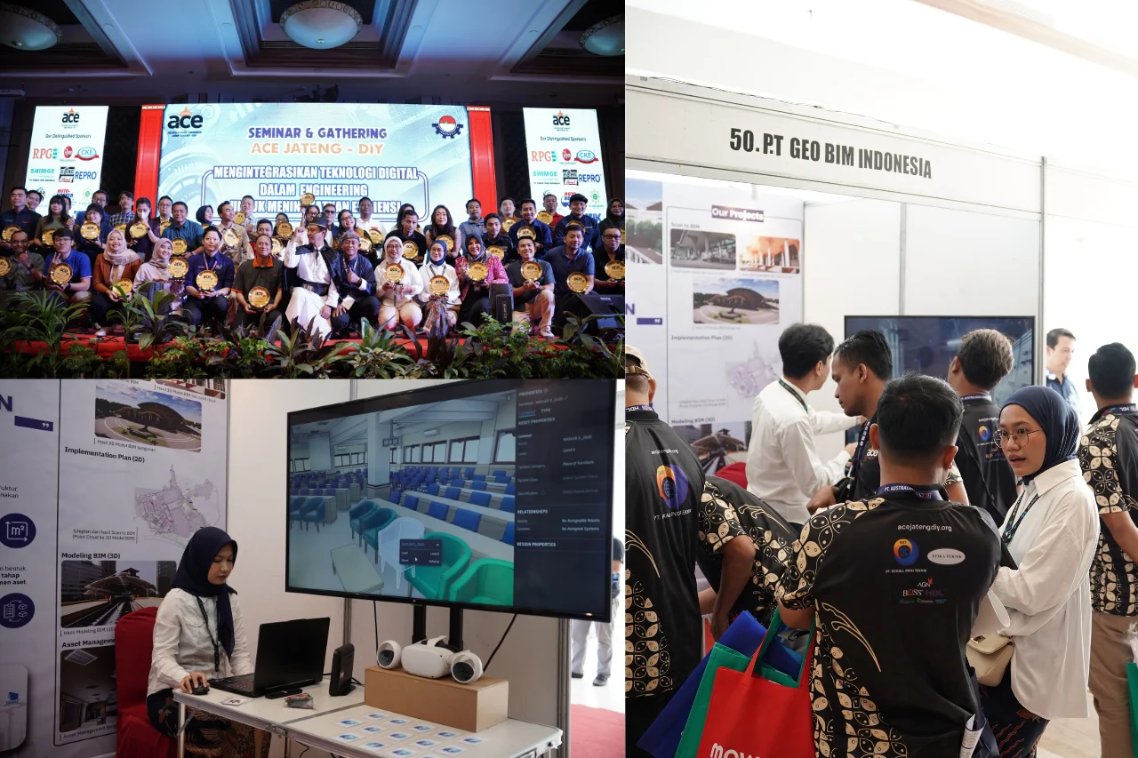
This initiative highlights GeoBIM Indonesia’s capability in delivering high-quality Scan to BIM and 3D modeling solutions for transportation infrastructure, reinforcing its role in supporting digital transformation and data-driven asset management in the toll road and civil infrastructure sector.