The Strategic Spatial Unit (Satuan Ruang Strategis/SRS) of Prambanan and Ijo Temple represents an integrated Hindu sacred landscape shaped by topography, cosmology, and architectural excellence. Rather than viewing these temples as separate monuments, the SRS framework understands them as a unified cultural landscape connecting the lowland plains of Prambanan with the hilltop setting of Candi Ijo. In the context of heritage preservation, this spatial relationship is as important as the structures themselves.
Candi Prambanan (Prambanan Temple) is the largest Hindu temple complex in Indonesia, built in the 9th century during the Medang Mataram Kingdom. Its construction began under Rakai Pikatan and was continued by Balitung. With the 47-meter-high Shiva Temple as its central axis, Prambanan symbolizes the pinnacle of classical Javanese Hindu architecture and spiritual cosmology. The complex has been inscribed as a World Heritage Site by UNESCO, highlighting its outstanding universal value.
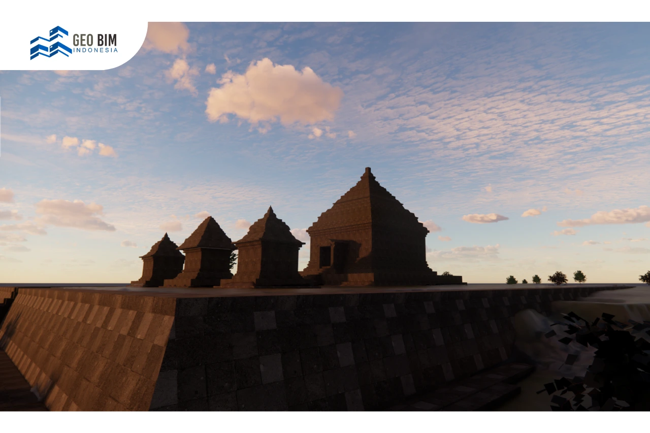
Situated several kilometers to the southeast, Candi Ijo stands on elevated terrain, offering a panoramic view of the surrounding plains. Built around the same century, this temple complex consists of 17 structures distributed across 11 terraced platforms. The highest terrace functions as the most sacred zone, reinforcing the vertical cosmological symbolism embedded in Hindu temple architecture. The visual and spatial relationship between Prambanan and Candi Ijo strengthens their identity as a connected sacred landscape.
Preserving Heritage within a Sacred Spatial Framework
As part of the Strategic Spatial Unit (SRS), preservation efforts must go beyond physical restoration. Protecting this heritage requires a comprehensive understanding of spatial configuration, elevation, orientation, and symbolic meaning. The temples’ alignment with the surrounding landscape reflects ancient knowledge systems that integrate architecture with cosmology.
Conventional conservation methods, while essential, are often limited to structural stabilization and material restoration. However, safeguarding a cultural landscape of this scale demands accurate documentation that captures not only geometry but also spatial context. This is where digital transformation plays a critical role in ensuring long-term sustainability.
.webp)
Scan to BIM and 3D Modeling for Cultural Heritage
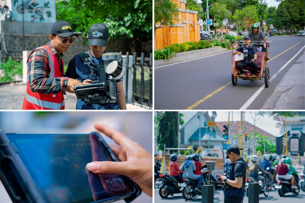
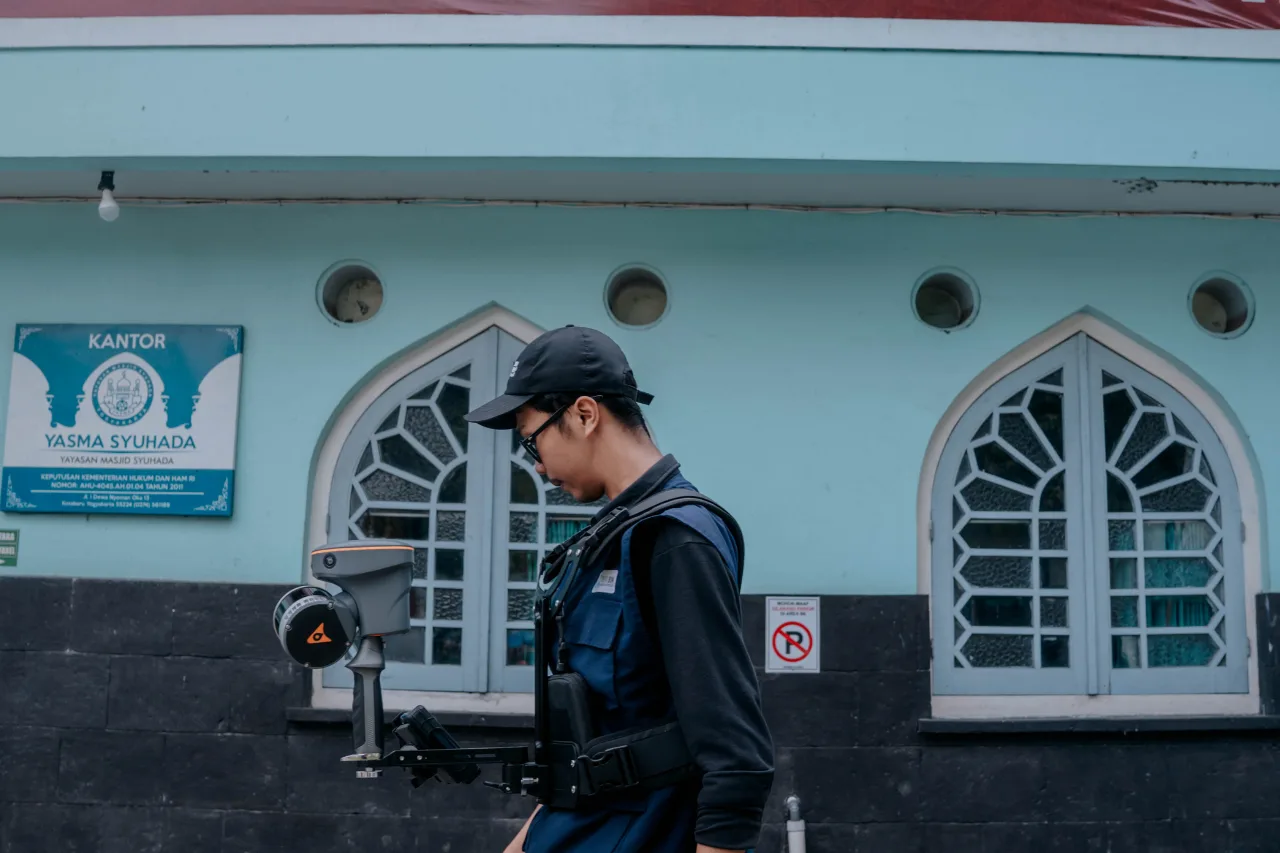
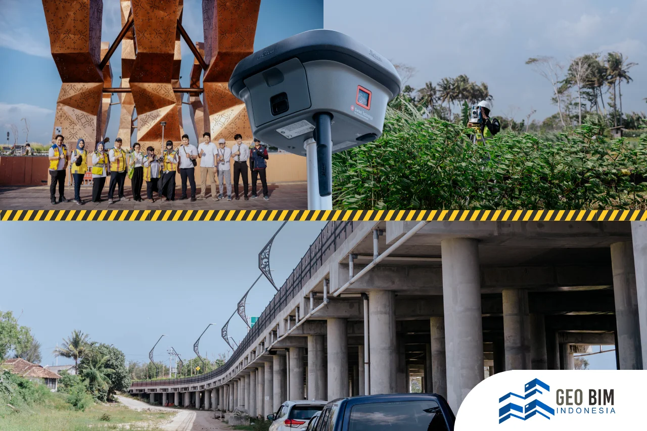
The integration of Scan to BIM and 3D Modeling technologies offers a non-invasive and data-driven approach to heritage conservation. Scan to BIM involves capturing precise spatial data through laser scanning or photogrammetry and converting it into Building Information Modeling (BIM) environments. This process generates highly accurate digital representations of existing conditions.
Through detailed 3D Modeling, every structural element, from temple reliefs to terraced platforms, can be documented without physically altering the site. These digital models serve as comprehensive archives, enabling conservation experts to analyze structural deformation, monitor deterioration, and simulate restoration strategies.
Within the SRS framework, 3D models also help visualize the broader landscape connection between Prambanan and Candi Ijo. By integrating geospatial data with BIM, conservation planning becomes more holistic, ensuring that interventions respect both architectural integrity and cosmological meaning.
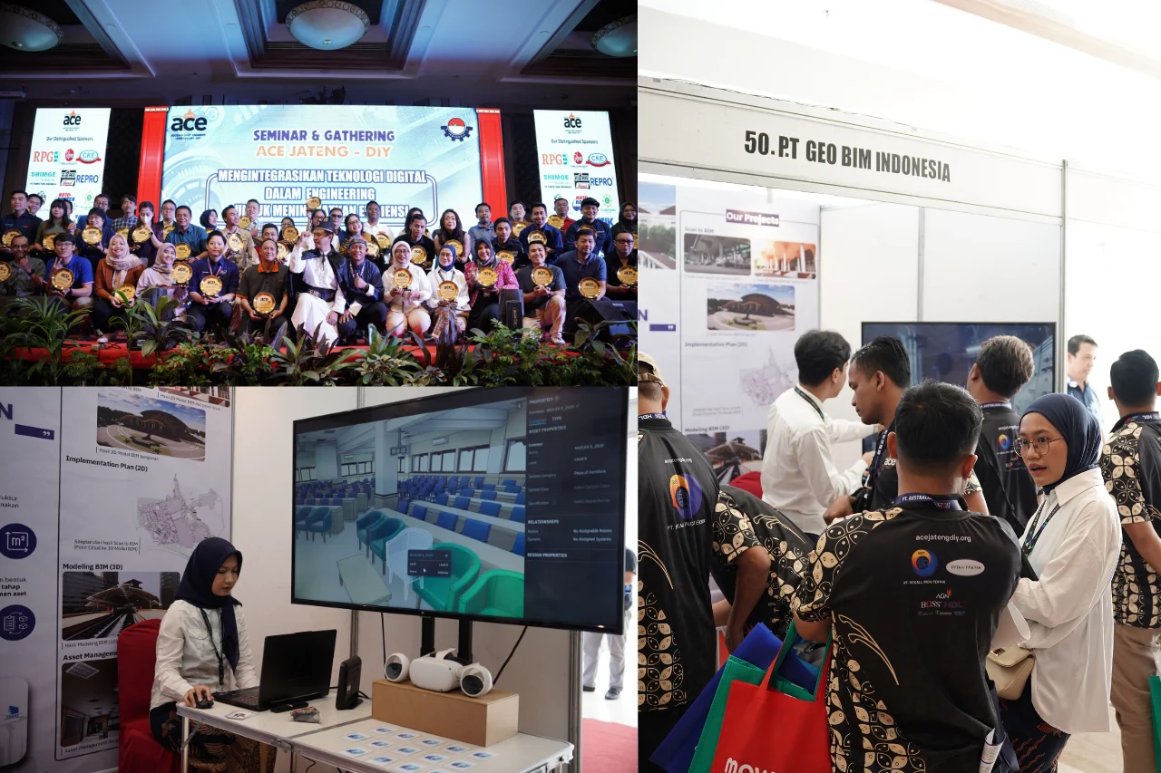
GeoBIM Indonesia’s Role in Digital Preservation
GeoBIM Indonesia contributes to the preservation of Prambanan and Candi Ijo through advanced Scan to BIM methodologies and integrated geospatial analysis. By developing precise 3D Modeling outputs, GeoBIM Indonesia supports stakeholders in documenting, managing, and planning conservation initiatives based on reliable spatial data.
The resulting digital models function not only as visualization tools but also as intelligent information systems. They provide measurable data for structural assessment, maintenance planning, and risk mitigation. More importantly, they preserve the authenticity of the sacred landscape by minimizing direct physical intervention.
Through digital innovation, GeoBIM Indonesia reinforces the sustainability of heritage management within the Sacred Spatial Unit. By bridging cultural heritage and modern technology, the preservation of Prambanan and Candi Ijo becomes a forward-looking effort, ensuring that this interconnected sacred landscape remains protected, understood, and valued for generations to come.