.webp)
What is Yogyakarta’s Cosmological Axis?
The Yogyakarta Cosmological Axis (Sumbu Filosofi Yogyakarta), officially recognized as a UNESCO World Heritage site in 2023, represents one of Indonesia’s most significant urban heritage landscapes. Established in the 18th century by Sultan Hamengku Buwono I, this axis was carefully designed based on profound philosophical principles that reflect the relationship between humans, nature, and the Divine.
The imaginary north–south line connects three primary landmarks: Panggung Krapyak in the south, the Yogyakarta Palace (Keraton) at the center, and Tugu Golong Gilig (Tugu Pal Putih) in the north. Each element symbolizes a stage in human life: from birth, to maturity, and ultimately returning to the God (paraning dumadi).
Beyond its symbolic meaning, the Cosmological Axis is categorized as a Strategic Spatial Unit (Satuan Ruang Strategis), meaning that any conservation, development, or urban planning effort within the area must be handled with precision and strong data support. Preserving such a culturally rich heritage site requires not only historical awareness but also advanced technological solutions.
Scan to BIM Enables Accurate Digital Documentation
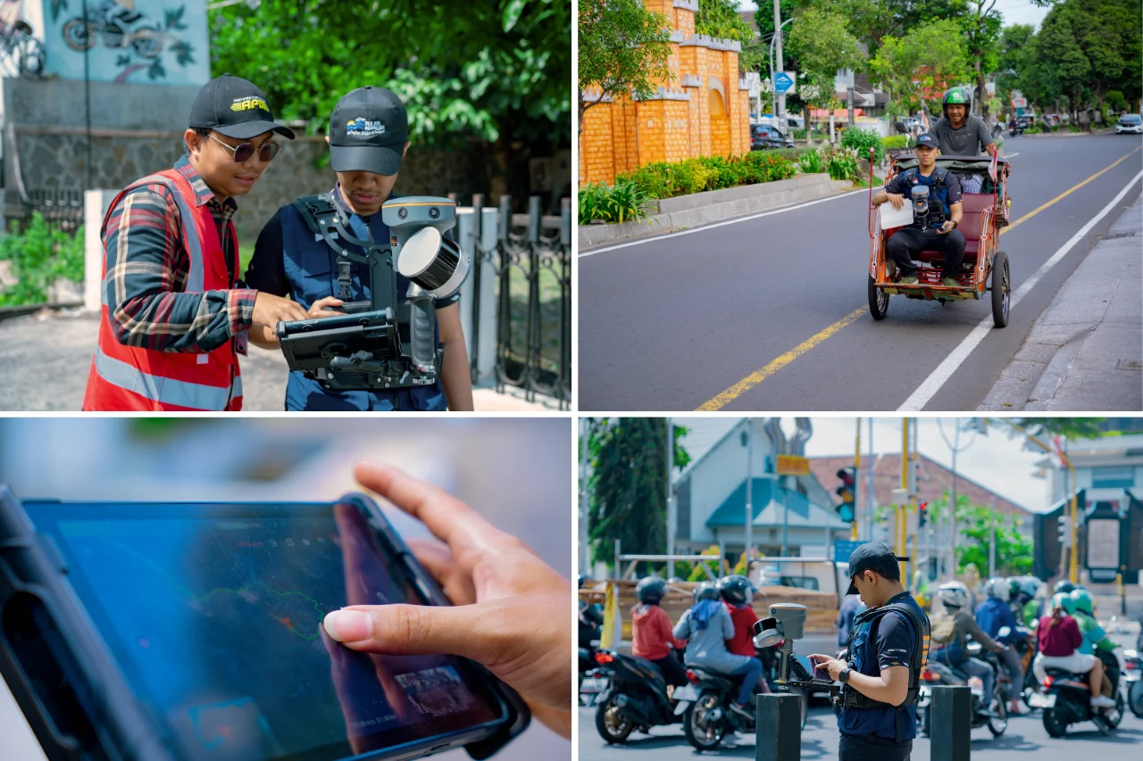
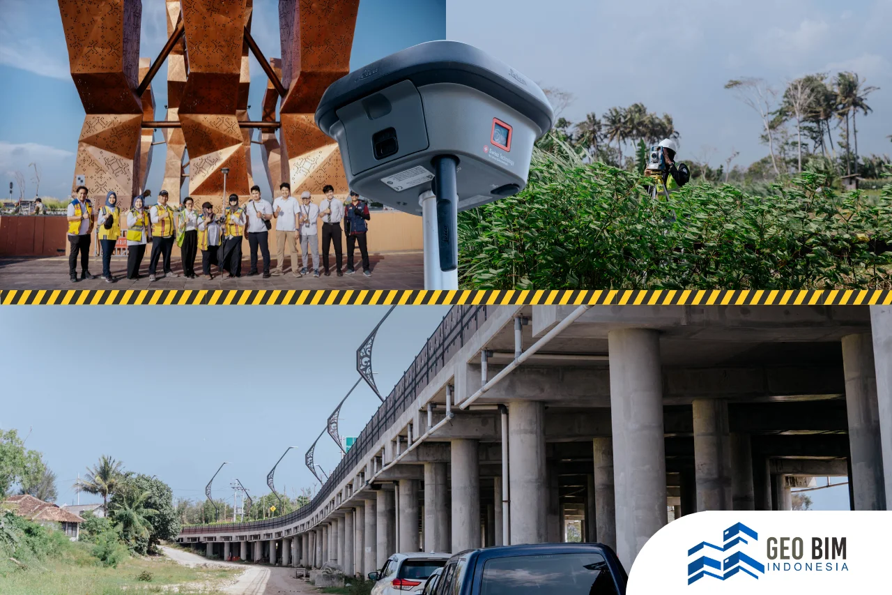
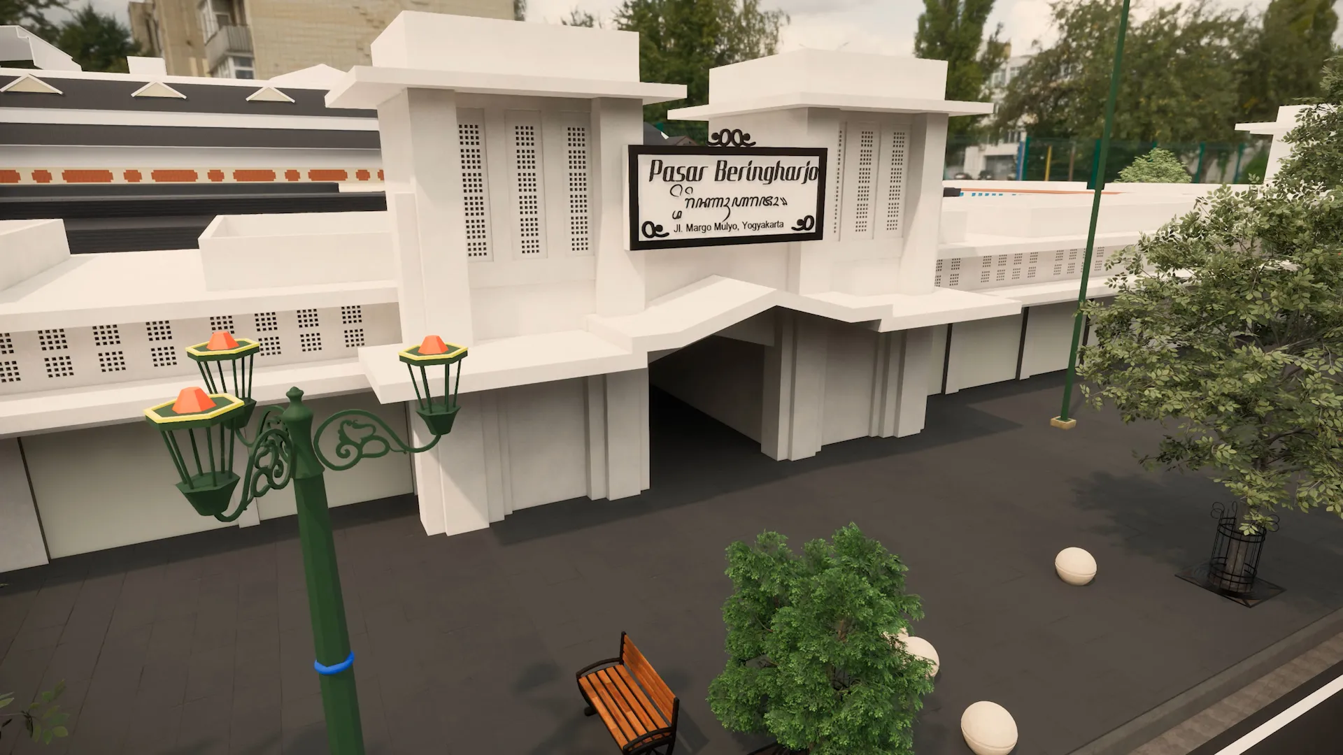
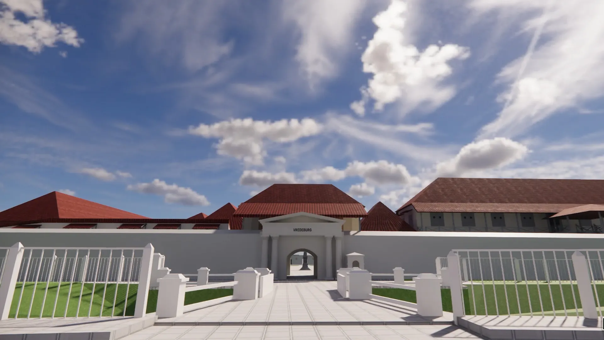
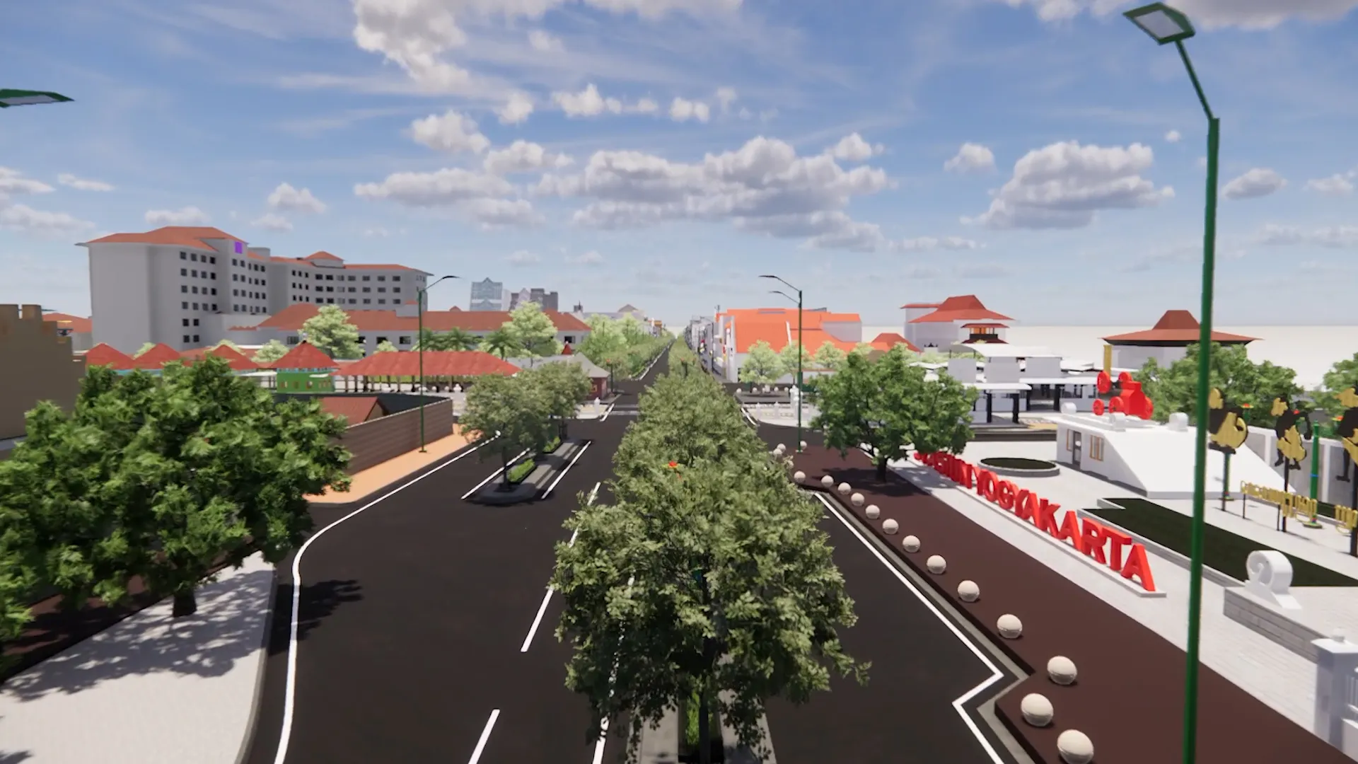
To support the preservation of this historic corridor, Geo BIM Indonesia implemented Scan to BIM technology as a modern digital documentation method. Scan to BIM is the process of transforming real-world physical environments into intelligent digital models using Building Information Modeling (BIM). The process begins with 3D laser scanning powered by SLAM (Simultaneous Localization and Mapping) technology.
SLAM enables the scanner to map its surroundings while simultaneously determining its own position in real time. By simply walking through the area, millions of spatial data points known as point clouds are captured with high accuracy.
These point clouds are then processed through several stages, including filtering, classification, and alignment. The refined data is converted into detailed 3D models within BIM software, reaching up to Level of Development (LOD) 350. The resulting BIM model is not merely a visual representation; it contains structured spatial and technical information that can support conservation, analysis, and urban planning initiatives.
Benefits of Scan to BIM for Preserving the Cosmological Axis
The implementation of Scan to BIM technology offers several key advantages for preserving the Yogyakarta Cosmological Axis:
- High-precision digital documentation
Every architectural and spatial element is recorded in detail, creating a long-term digital archive. - Data-driven conservation planning
Accurate spatial data enables careful planning without physically interfering with heritage structures. - Urban planning simulation and analysis
Authorities can test development scenarios virtually before executing them on site. - Time and cost efficiency
SLAM-based scanning significantly reduces field survey time compared to conventional methods. - Digital walkthrough capabilities
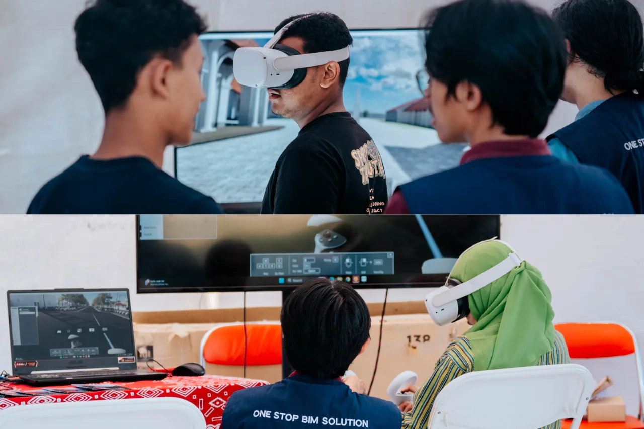
The 3D model can be transformed into immersive walkthrough experiences for planning, education, and tourism promotion. - Integration with city planning systems
BIM data can be incorporated into broader urban spatial management frameworks. - Risk mitigation and future restoration reference
In case of damage or structural changes, the digital model serves as a reliable reference of the original condition.
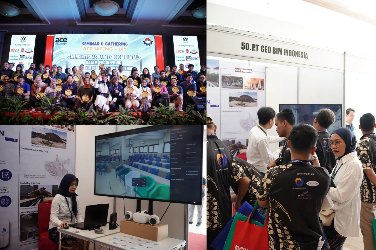
Through the integration of Scan to BIM, 3D modeling, SLAM technology, and BIM workflows, Geo BIM Indonesia demonstrates how heritage preservation and digital innovation can coexist.
Digitizing the Yogyakarta Cosmological Axis is not about replacing tradition with technology; rather, it is about strengthening conservation efforts with accurate data and intelligent modeling. By embracing digital transformation, this historic heritage corridor can be safeguarded while supporting sustainable urban development for generations to come.