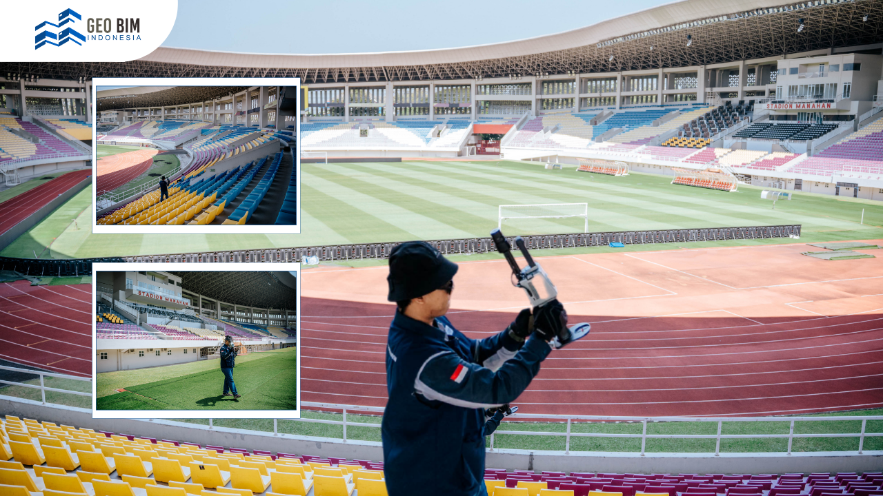
Manahan Stadium in Surakarta, Central Java, is one of Indonesia's most prominent multi-purpose sports venues. With a seating capacity of approximately 20,000 spectators, the stadium regularly hosts football matches, athletics competitions, concerts, and other large public events. As the venue continues to support a wide variety of activities, its physical condition evolves over time due to renovations, maintenance work, and operational changes. Keeping accurate records of these changes is essential for effective facility management, future development, and long-term asset maintenance.
To create an accurate representation of the stadium's existing condition, GeoBIM Indonesia carried out a comprehensive 3D Scanning survey using SLAM (Simultaneous Localization and Mapping) technology. The project produced a highly detailed digital dataset that can be transformed into a 3D model for planning, analysis, and infrastructure management. By combining advanced reality capture technology with professional data processing, the project demonstrates how digital solutions can support the modernization of large sports facilities.
Efficient Stadium Reality Capture with SLAM Technology
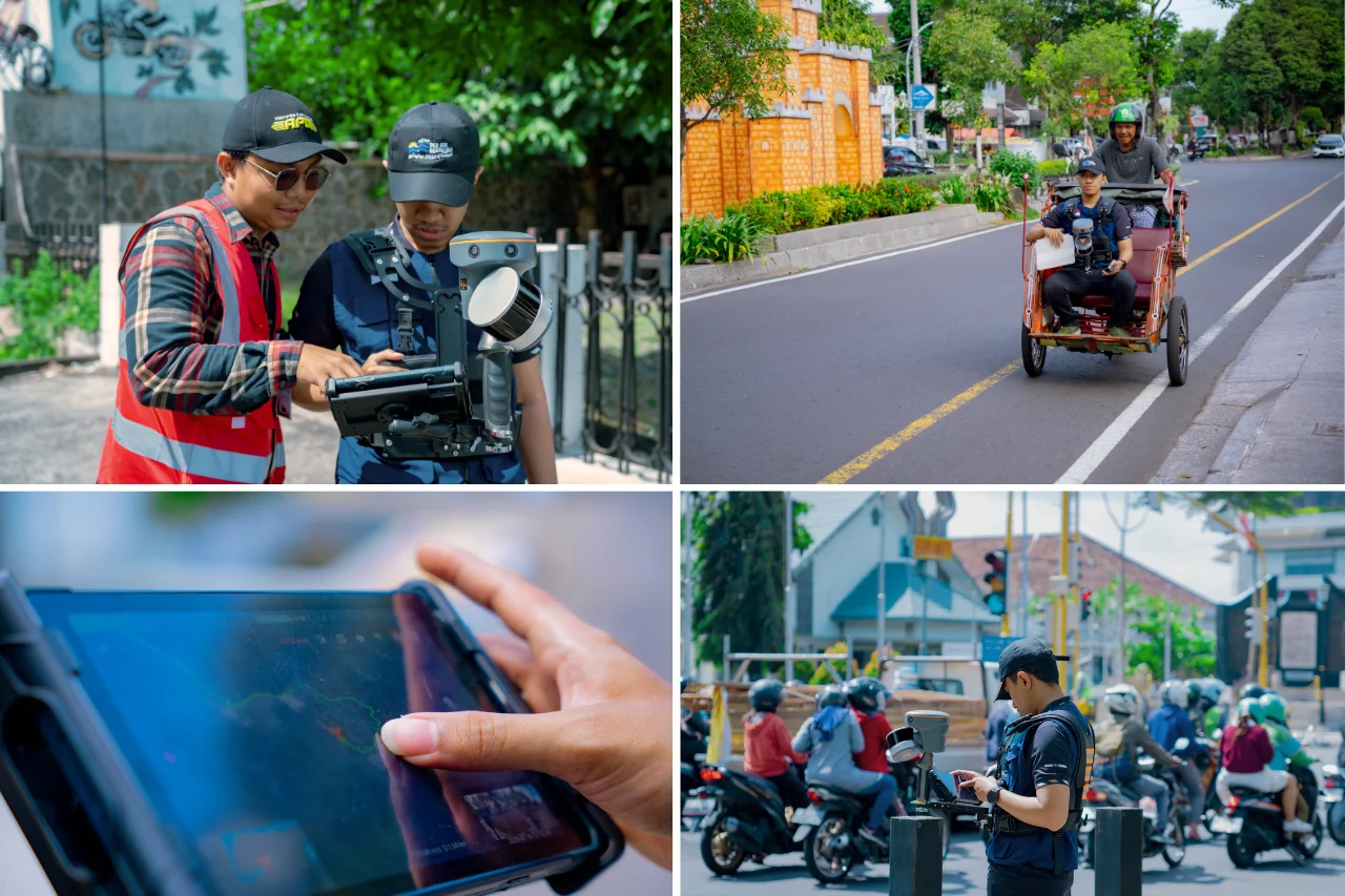
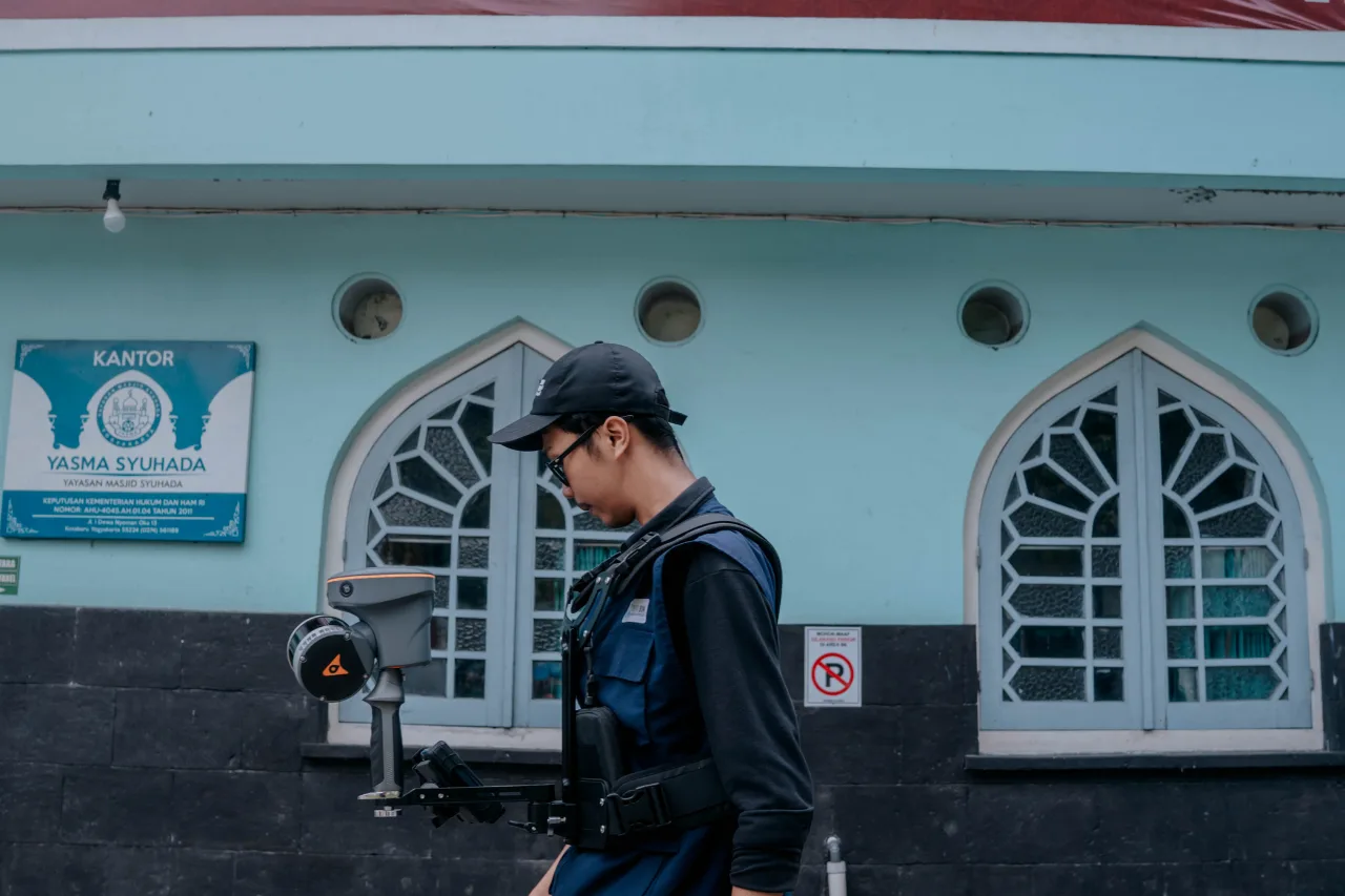
The 3D Scanning survey was performed using the FJD Trion P1, a mobile laser scanner powered by SLAM (Simultaneous Localization and Mapping) technology. Unlike conventional terrestrial laser scanners that require multiple static setups and targets, SLAM technology allows operators to capture spatial data while walking through the survey area. This significantly accelerates the data acquisition process while maintaining high geometric accuracy.
The lightweight design of the FJD Trion P1 also enables efficient scanning in complex environments such as stadiums. Operators can move seamlessly between spectator stands, corridors, locker rooms, staircases, entrances, and outdoor facilities without repeatedly relocating heavy equipment. This flexibility makes SLAM particularly suitable for projects involving extensive indoor and outdoor spaces where efficiency and mobility are critical.
For large facilities like Manahan Stadium, reducing survey time also minimizes disruption to daily operations. Data collection can be completed more quickly, allowing maintenance activities, sporting events, and other scheduled operations to continue with minimal interruption. This efficiency is one of the main reasons why SLAM-based 3D Scanning is becoming increasingly popular for infrastructure and facility documentation.
Capturing Every Detail of Manahan Stadium
The scanning project covered the entire Manahan Stadium complex, including both interior and exterior areas with a total survey coverage of approximately 33,300 square meters. Every accessible space was scanned to ensure that the resulting dataset accurately reflected the stadium's current condition.
During the survey, millions of laser measurements were collected to generate a dense point cloud, which serves as the digital representation of the stadium. Each point contains precise three-dimensional coordinates, allowing the geometry of structural elements, architectural components, corridors, seating areas, utility spaces, and surrounding infrastructure to be accurately documented.
Compared with conventional measurement methods, point cloud technology captures significantly more information in a single survey. This comprehensive dataset reduces the possibility of missing important details and provides a reliable digital archive that can be referenced whenever future inspections, renovations, or facility upgrades are required.
From Point Cloud to Accurate 3D Modeling
Once the field survey was completed, the captured point cloud data became the foundation for creating an accurate 3D model of Manahan Stadium. The model digitally represents the stadium's existing conditions, allowing engineers, architects, and facility managers to visualize the entire structure with a high level of detail.
A digital 3D model provides substantial advantages during renovation and redevelopment projects. Designers can work directly from accurate existing-condition data instead of relying on outdated drawings or manual measurements. This improves coordination among project stakeholders, reduces design conflicts, and helps minimize costly revisions during construction.
The model can also support the development of Building Information Modeling (BIM) and Digital Twin systems. These digital platforms integrate geometric information with asset data, enabling more efficient maintenance planning, facility inspections, and lifecycle management. As sports venues continue to evolve, having accurate digital information becomes increasingly valuable for supporting long-term operational efficiency.
GeoBIM Indonesia Delivers Professional 3D Scanning and 3D Modeling Services
The 3D Scanning project at Manahan Stadium demonstrates how modern SLAM technology can rapidly capture accurate spatial data for large and complex facilities. From sports stadiums and public buildings to industrial plants and commercial developments, reality capture technology enables organizations to document existing conditions with exceptional accuracy while improving planning and decision-making.
GeoBIM Indonesia provides professional 3D Scanning, 3D Modeling, Point Cloud Processing, Scan to BIM, and Digital Twin services for a wide range of infrastructure and building projects. By leveraging advanced scanning technologies such as the FJD Trion P1, our team delivers reliable digital models that support renovation planning, facility management, asset documentation, and operational optimization. Whether your project involves a stadium, industrial facility, commercial building, or public infrastructure, GeoBIM Indonesia is ready to help transform real-world environments into accurate digital assets.
Contact our team today to discuss your 3D Scanning and 3D Modeling requirements.
📞 082134939917 (Sales Engineer GeoBIM)