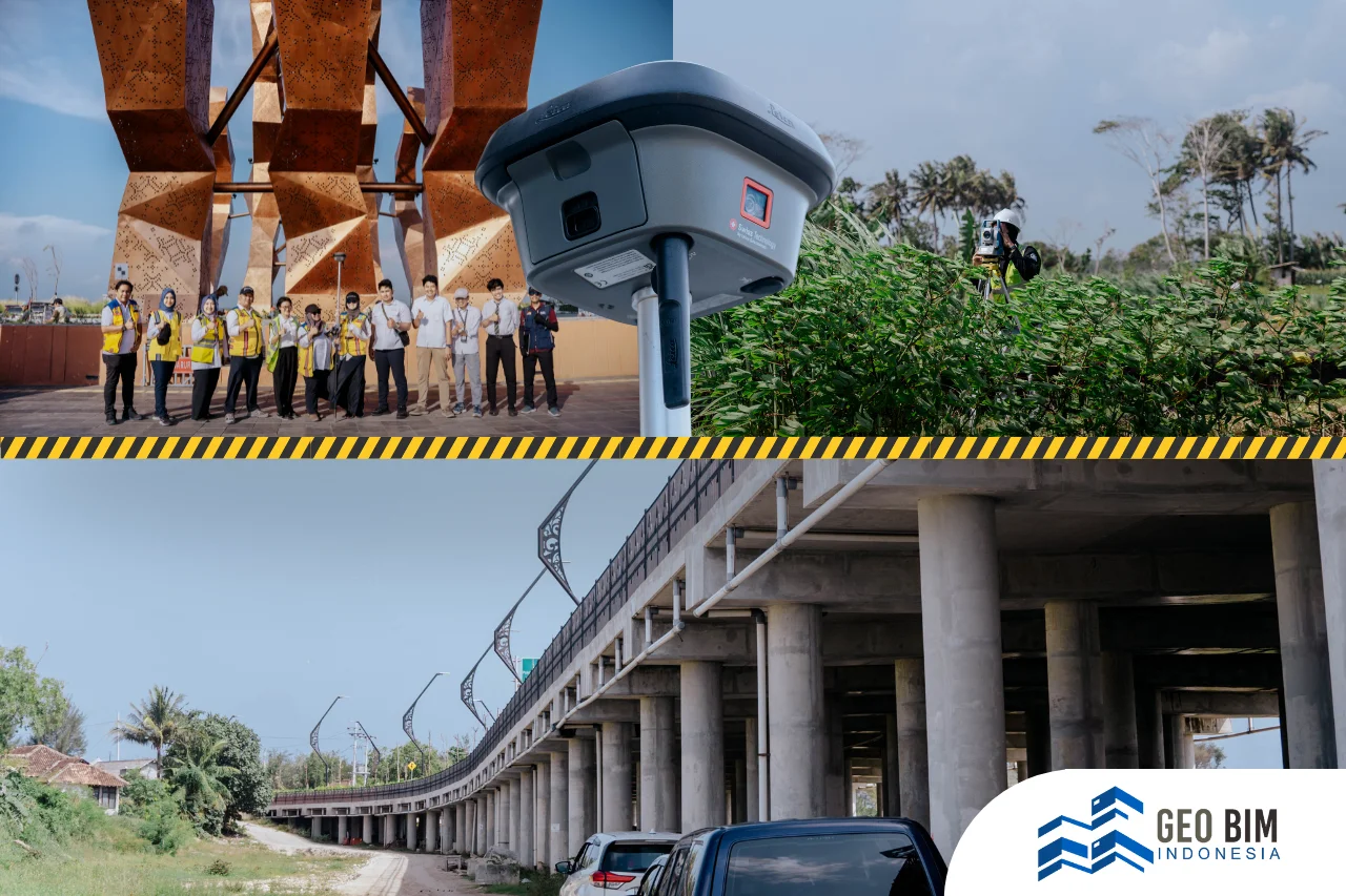
Kaliurang, located on the southern slopes of Mount Merapi in the Special Region of Yogyakarta, is well known for its cool climate, volcanic landscape, and historic architecture. As part of the Mount Merapi Strategic Spatial Area (SRS Merapi), Kaliurang plays an important role in preserving cultural heritage while supporting tourism and sustainable regional development. To ensure effective conservation and planning, accurate spatial information is essential. This is where 3D Scanning and Scan to BIM provide significant value.
Preserving Heritage Buildings with 3D Scanning
Traditional building documentation often relies on photographs, sketches, and 2D drawings, which may not capture the complete condition of a structure. In contrast, 3D Scanning records millions of spatial measurements, creating a highly accurate digital representation of existing conditions.
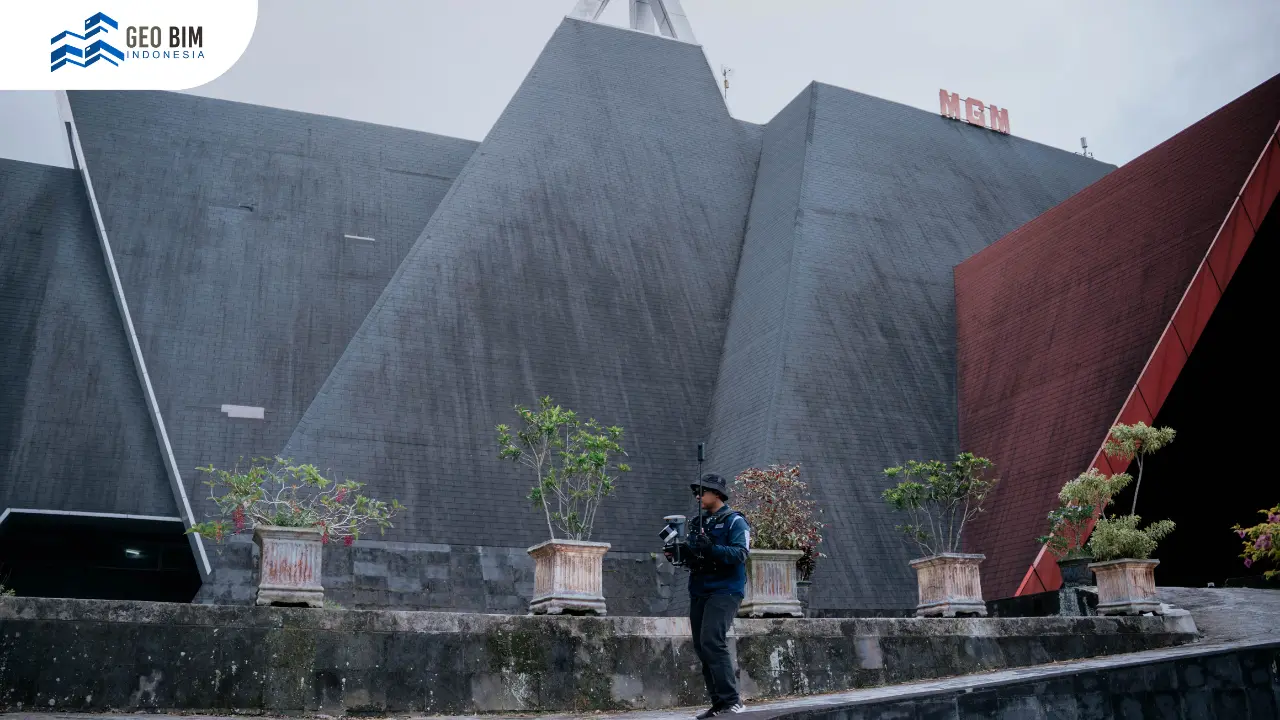
As part of this project, 12 heritage and public landmarks in Kaliurang were digitally documented. These include Wisma Kaliurang, Wisma Gadjah Mada, Balai Istirahat Pegawai, Wisma Merapi Indah I, Hostel Visgels, Pesanggrahan Hargopeni, the Mbah Maridjan Memorial Museum, Mount Merapi Museum, Tlogo Putri Open Stage, the Jadah Tempe MSME Center, and Omah Jadah Kaliurang. These buildings represent important cultural and historical assets that require detailed documentation to support long-term preservation.
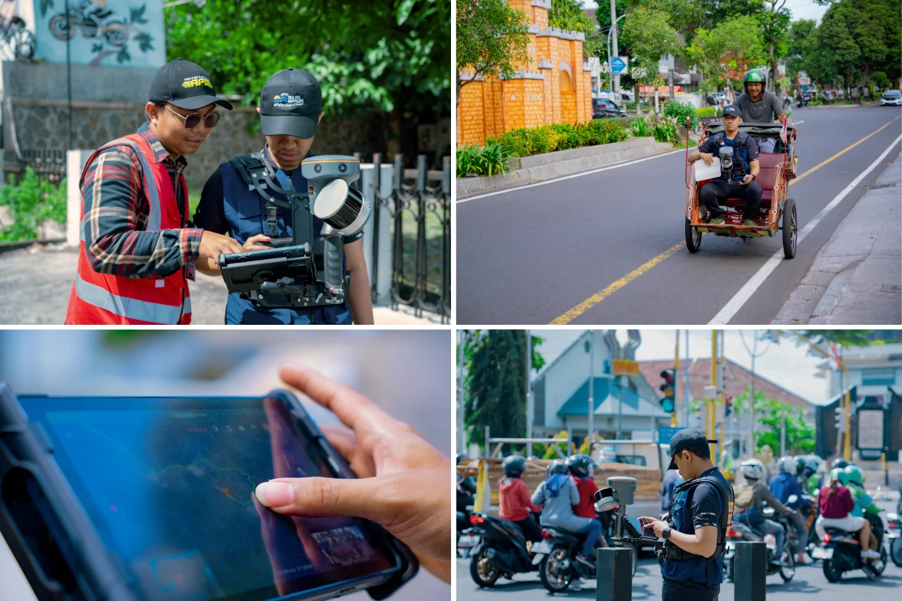
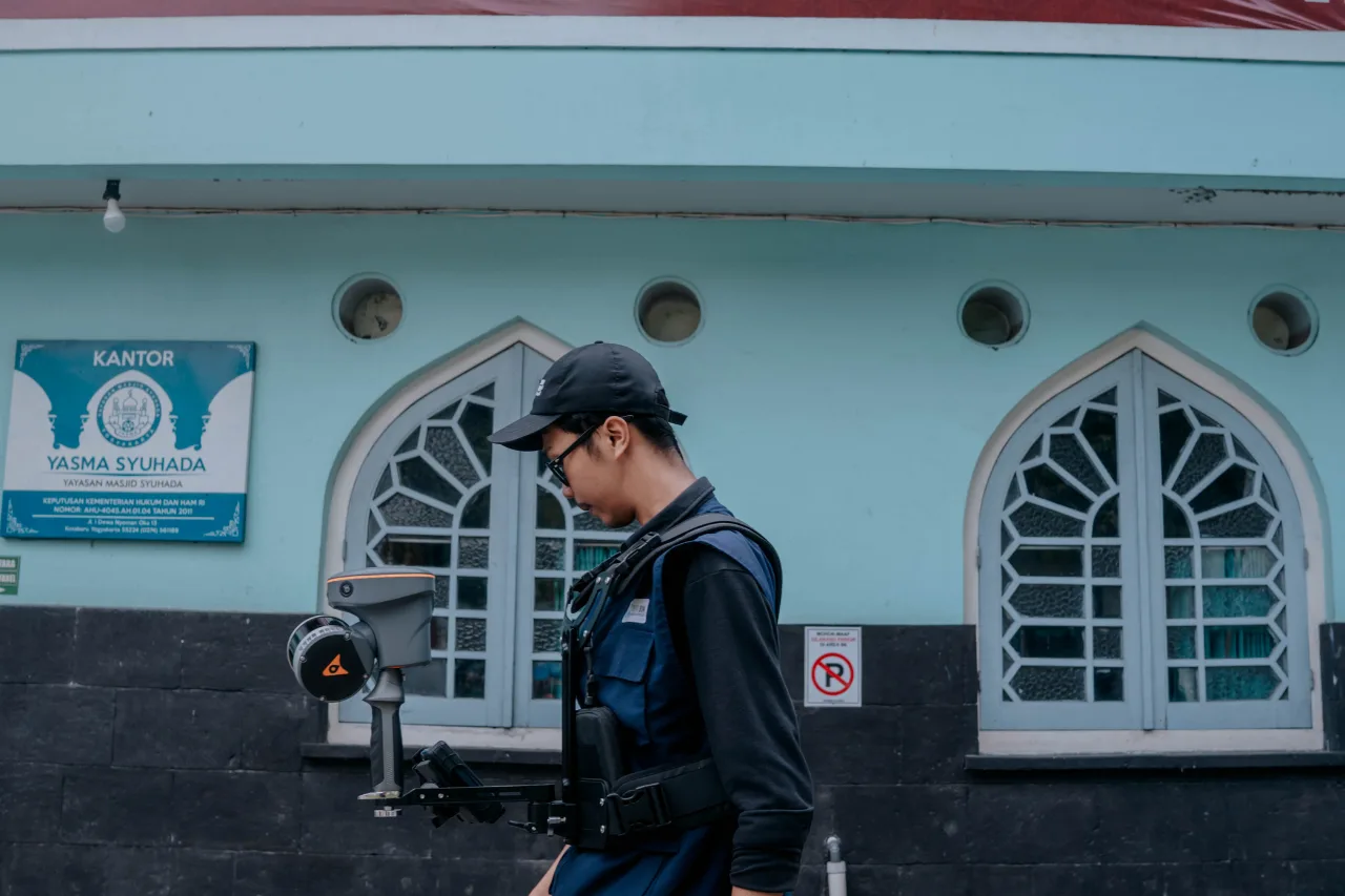
The field survey was conducted using SLAM (Simultaneous Localization and Mapping) technology. Unlike conventional surveying methods that require multiple control points and static equipment, SLAM enables mobile laser scanning while simultaneously determining the scanner's position. This approach significantly improves data collection efficiency, especially in complex environments with multiple buildings and varying terrain. As the operator moves through the site, the scanner continuously captures the surrounding environment, producing a dense point cloud containing millions of three-dimensional coordinates. The resulting point cloud accurately represents building geometry, architectural details, and surrounding features, providing a reliable foundation for digital modeling.
Integrating Point Cloud with LiDAR Data
To create a geographically accurate digital model, the point cloud generated from the SLAM survey was integrated with LiDAR-derived topographic data. LiDAR provides highly detailed terrain information, allowing the scanned buildings to be positioned accurately within their real-world environment. By combining SLAM and LiDAR, the project produced a comprehensive 3D representation that includes both architectural structures and the surrounding landscape. This integrated dataset improves spatial accuracy and enables more effective planning, analysis, and asset management across the heritage area.
Scan to BIM for Accurate Digital Models
After data acquisition, the point cloud was processed using the Scan to BIM workflow. This process converts reality-captured spatial data into intelligent Building Information Modeling (BIM) models that contain both geometric and informational components.
The heritage buildings were modeled at Level of Development (LOD) 300, providing detailed representations of architectural elements, structural components, and building dimensions. Meanwhile, the broader Mount Merapi Strategic Spatial Area, covering approximately 812 hectares, was modeled at LOD 200, which focuses on overall spatial organization and landscape representation.
The resulting BIM models provide valuable digital assets for government agencies, planners, conservation experts, and infrastructure managers. With accurate 3D information, stakeholders can assess existing building conditions, develop restoration strategies, monitor structural changes, and improve maintenance planning. The digital models also reduce the need for frequent field inspections, saving time and operational costs while improving safety, particularly in volcanic hazard zones such as Mount Merapi. Beyond conservation, the models support spatial planning, tourism development, infrastructure management, and future redevelopment projects.
The integration of 3D Scanning and LiDAR also establishes the foundation for developing a Digital Twin of the Kaliurang heritage area. A Digital Twin is a dynamic virtual representation of physical assets that can be continuously updated with real-world data. This enables long-term monitoring, predictive maintenance, and data-driven decision-making throughout the lifecycle of buildings and infrastructure. For disaster-prone regions like Mount Merapi, Digital Twin technology offers significant advantages by helping authorities monitor environmental changes, evaluate infrastructure conditions, and prepare more effective mitigation strategies.
GeoBIM Indonesia: Your Partner for Scan to BIM Solutions
GeoBIM Indonesia provides professional 3D Scanning and 3D Modeling solutions for a wide range of industries. From heritage buildings and public facilities to industrial plants, commercial buildings, and infrastructure projects, our team delivers accurate spatial data and intelligent digital models to support planning, renovation, asset management, and long-term maintenance.
By combining advanced technologies, we help clients transform real-world environments into precise digital representations. Our solutions enable faster decision-making, improve collaboration among stakeholders, and reduce project risks throughout the building lifecycle. Whether you need to document an existing building, create an as-built BIM model, preserve historical assets, or develop a Digital Twin for smarter facility management, GeoBIM Indonesia is ready to support your project with reliable expertise and cutting-edge technology.
Consult with GeoBIM Indonesia today!
📞 +62 821-3493-9917 (Sales Engineer, GeoBIM Indonesia)