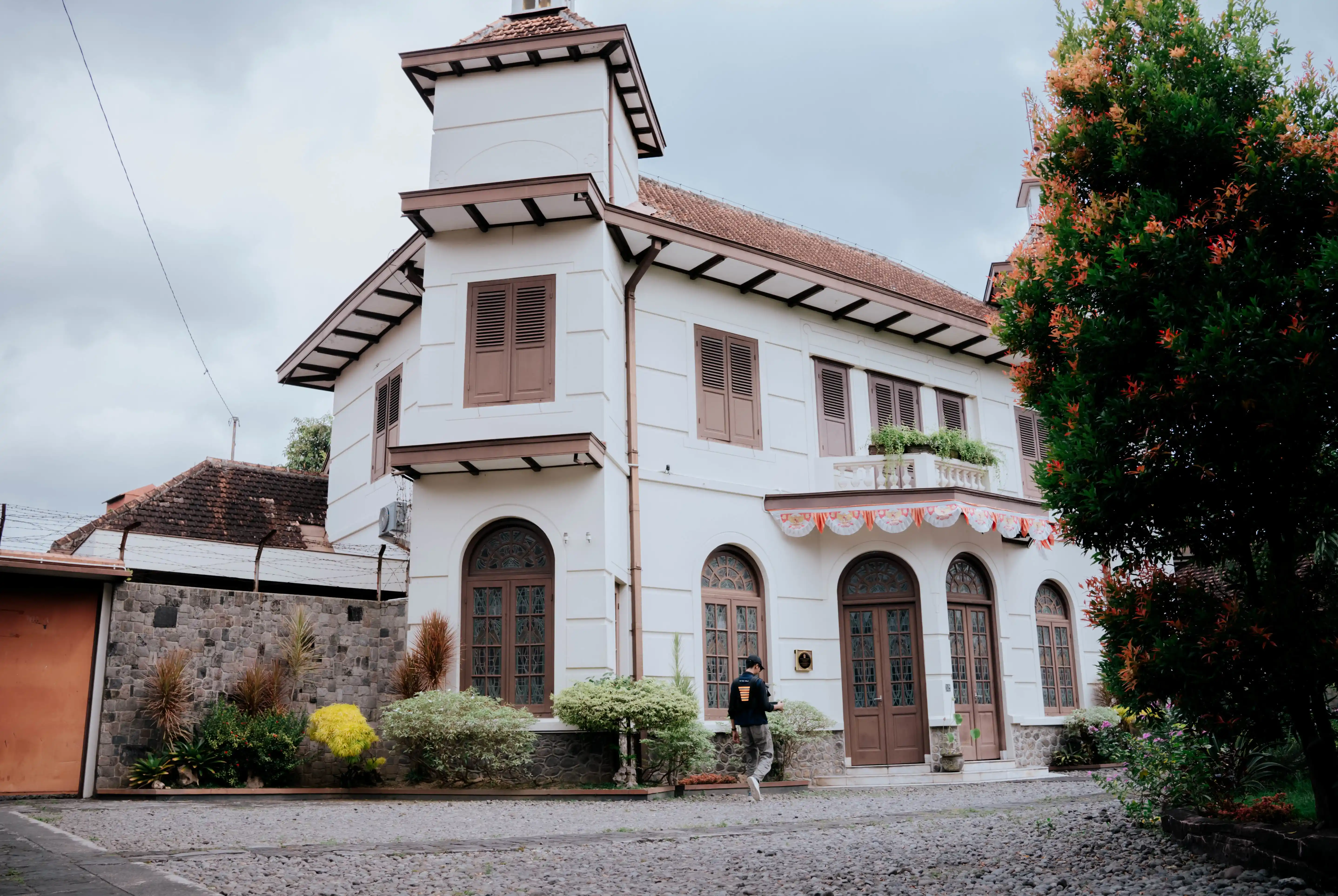
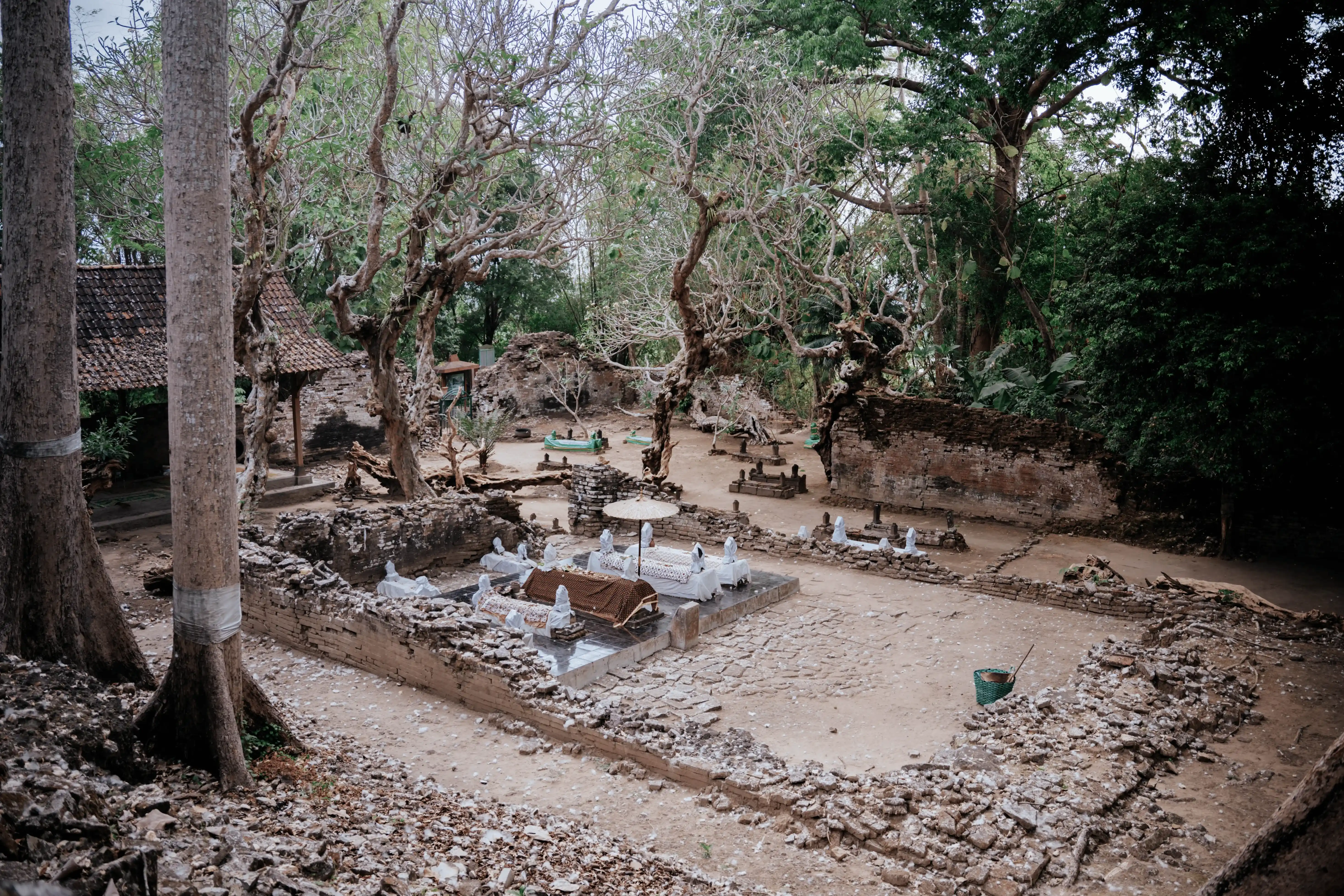
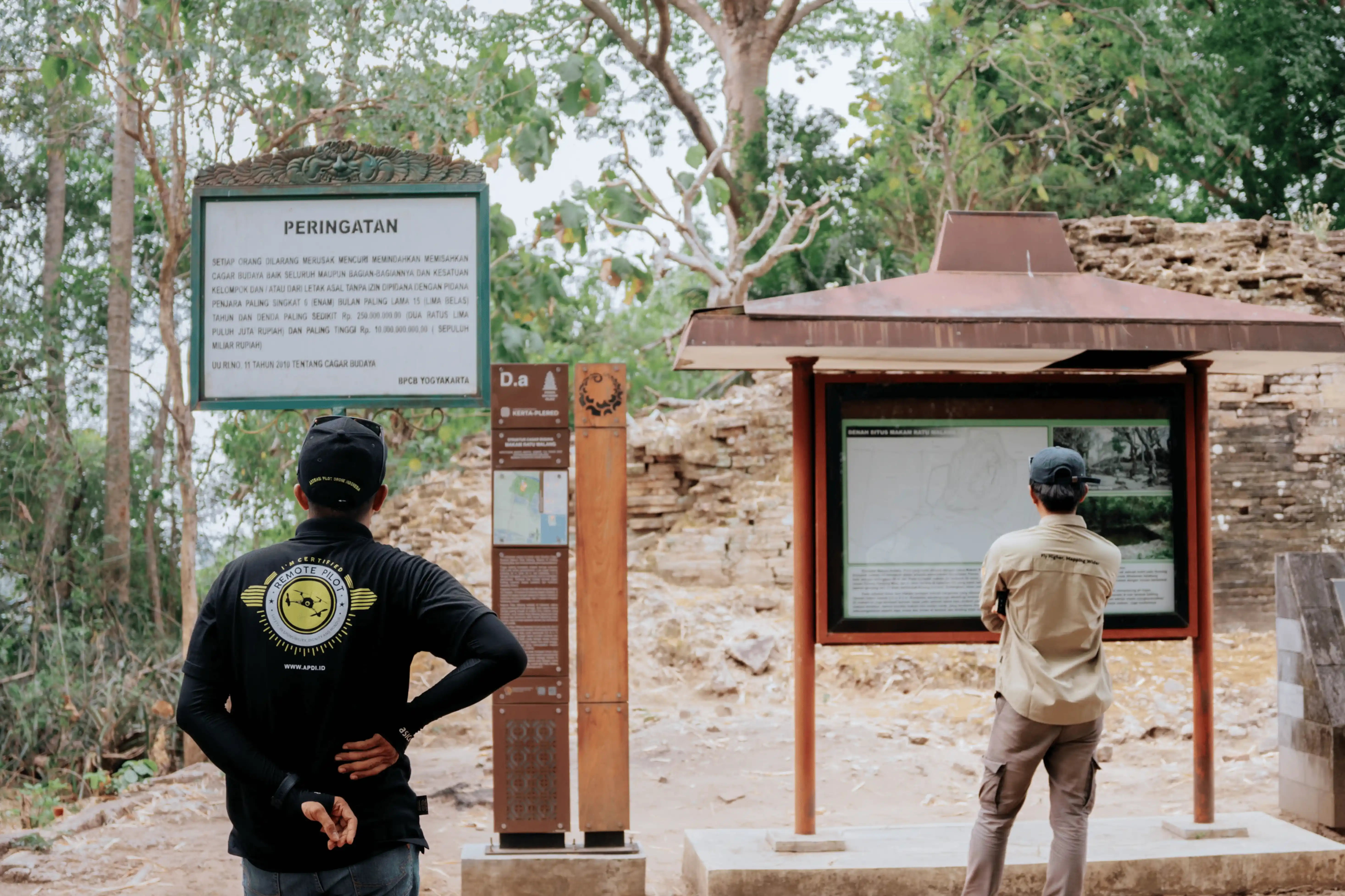
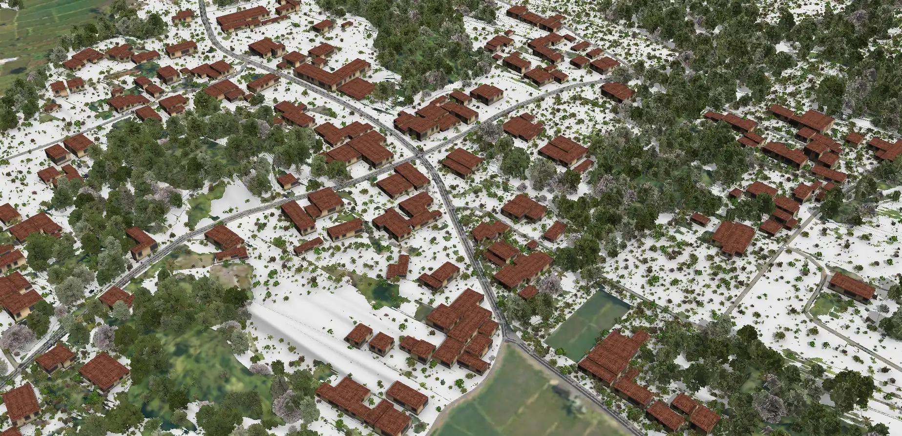
Scan to BIM Situs Pleret

Project Details
- Location : Pleret, Bantul, DIY
- LOD : 200-300
- Area : 216 Ha
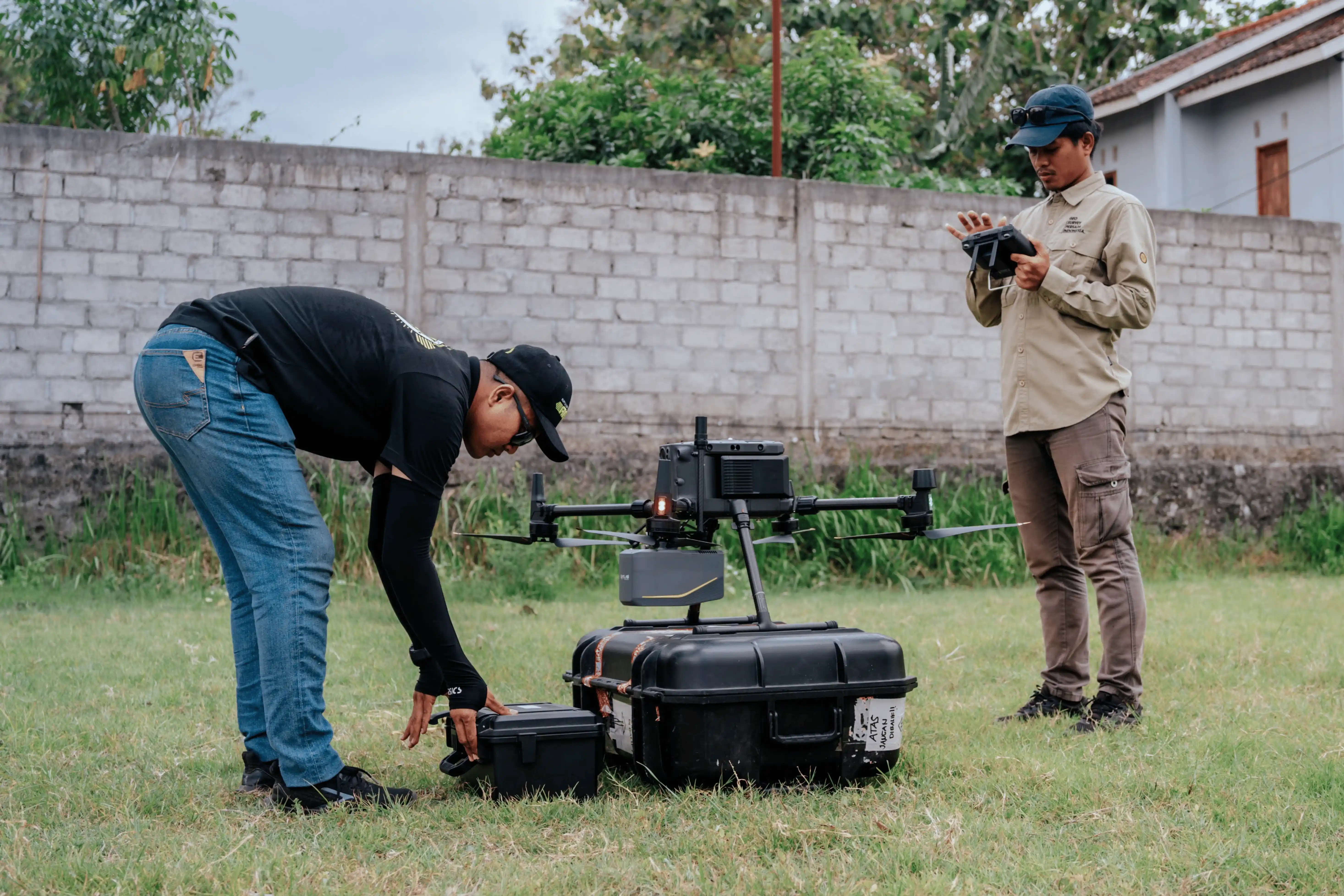
- Data Resources : Scan to BIM, point cloud LiDAR
- Equipment : GNSS CHC i50, DJI Matrice 300, Sensor LiDAR Apus MX
- Project Outputs: 3D Model HBIM, Pointcloud LiDAR, Orthofoto
- Objectives: To develop an integrated HBIM 3D model and LiDAR point cloud within a single coordinate reference system, serving as a comprehensive digital heritage asset.
- Project duration: 60 days
- Year: 2025
Related Projects
Scan to BIM Heritage Situs Sokoliman
View Case Study
Scan to BIM Candi Ijo Heritage Area
View Case Study