
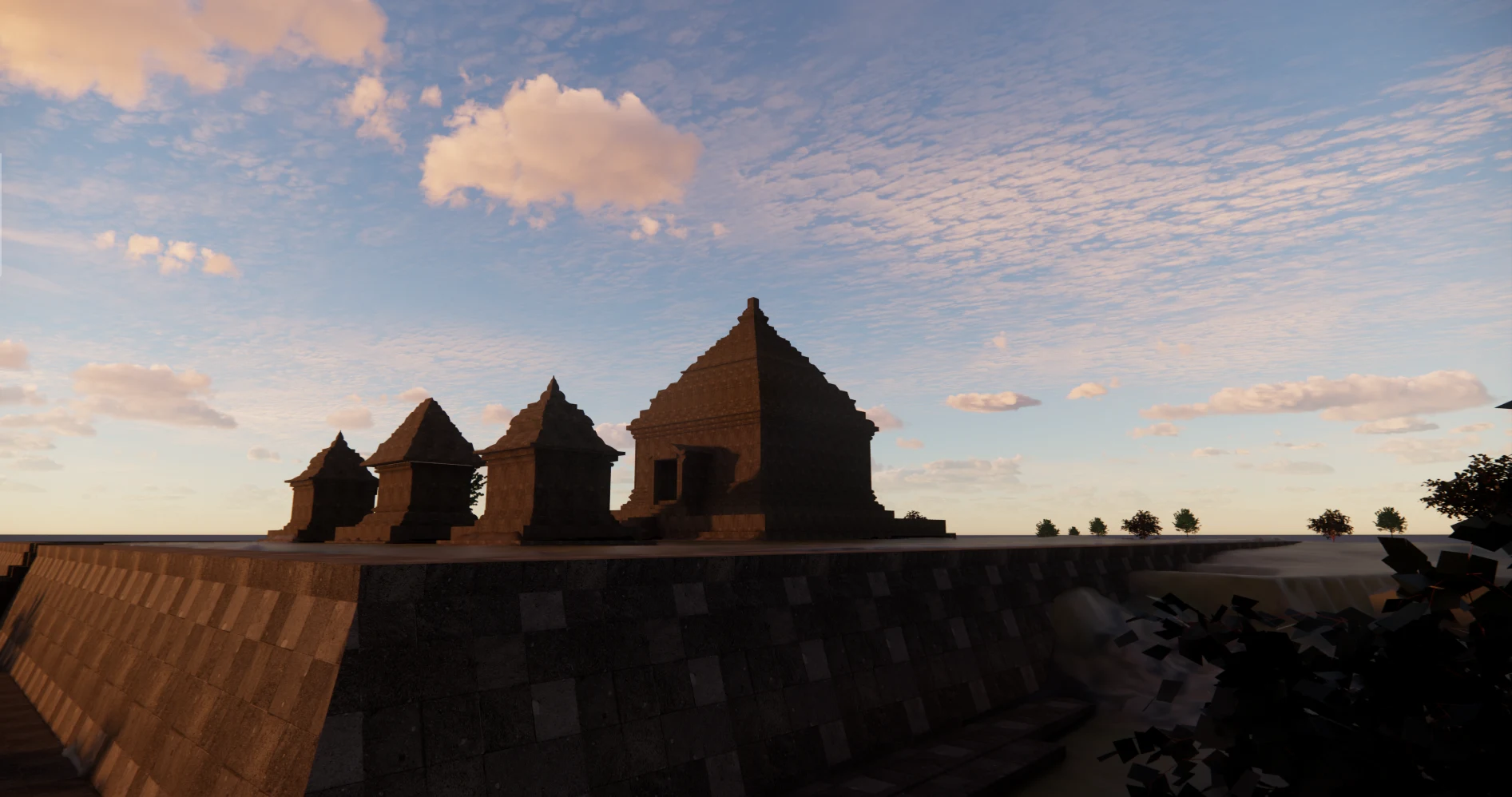
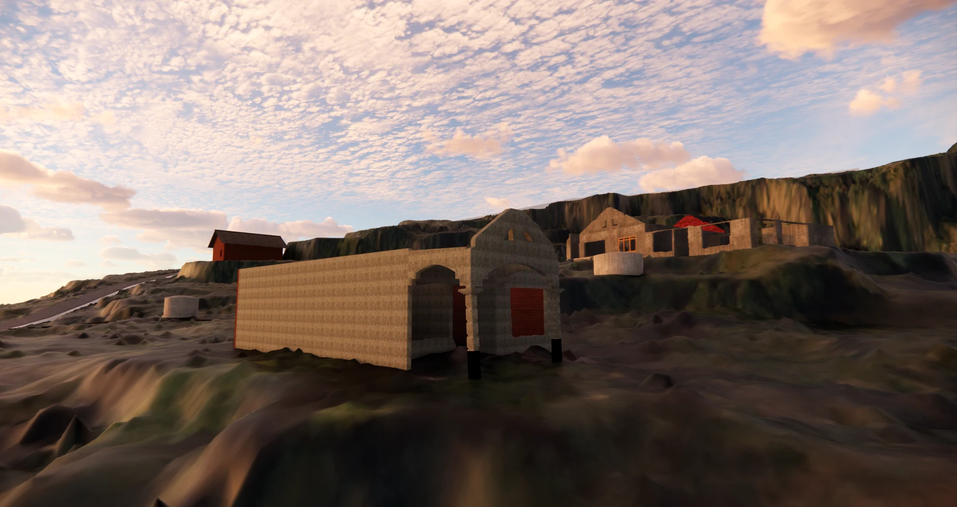
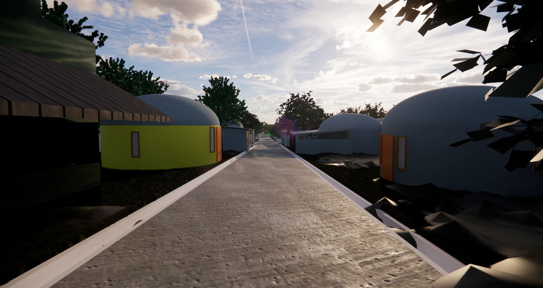
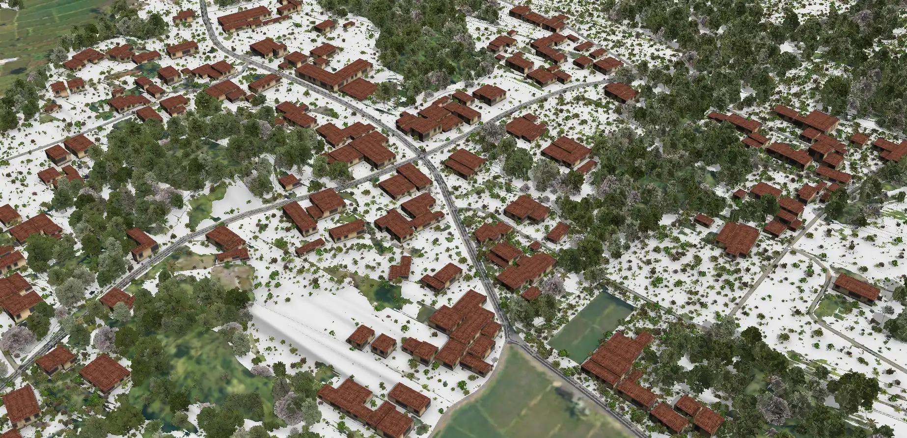
Scan to BIM Candi Ijo Heritage Area

Project Details
- Location : Kecamatan Prambanan-Candi Ijo, Kabupaten Sleman, DIY
- LOD : 200
- Area : 803,48 Ha
- Data Resources : Point cloud, Scan LiDAR, Orthophoto,
- Equipment : GNSS CHC i50, UAV VTOL CHC P330 Pro, Sensor LiDAR AA450, Slam CHCNAV RS10
- Project Outputs: 3D Model Objectives: To produce 3D models that comply with applicable regulations and technical specifications for the following areas: the Candi Ijo Area, Tebing Breksi Geosite, Ngelepen Land Creep Area, and the Dome Houses (Teletubbies Houses).
- Project Duration: 60 days
- Year: 2025
Related Projects
Scan to BIM Heritage Situs Sokoliman
View Case Study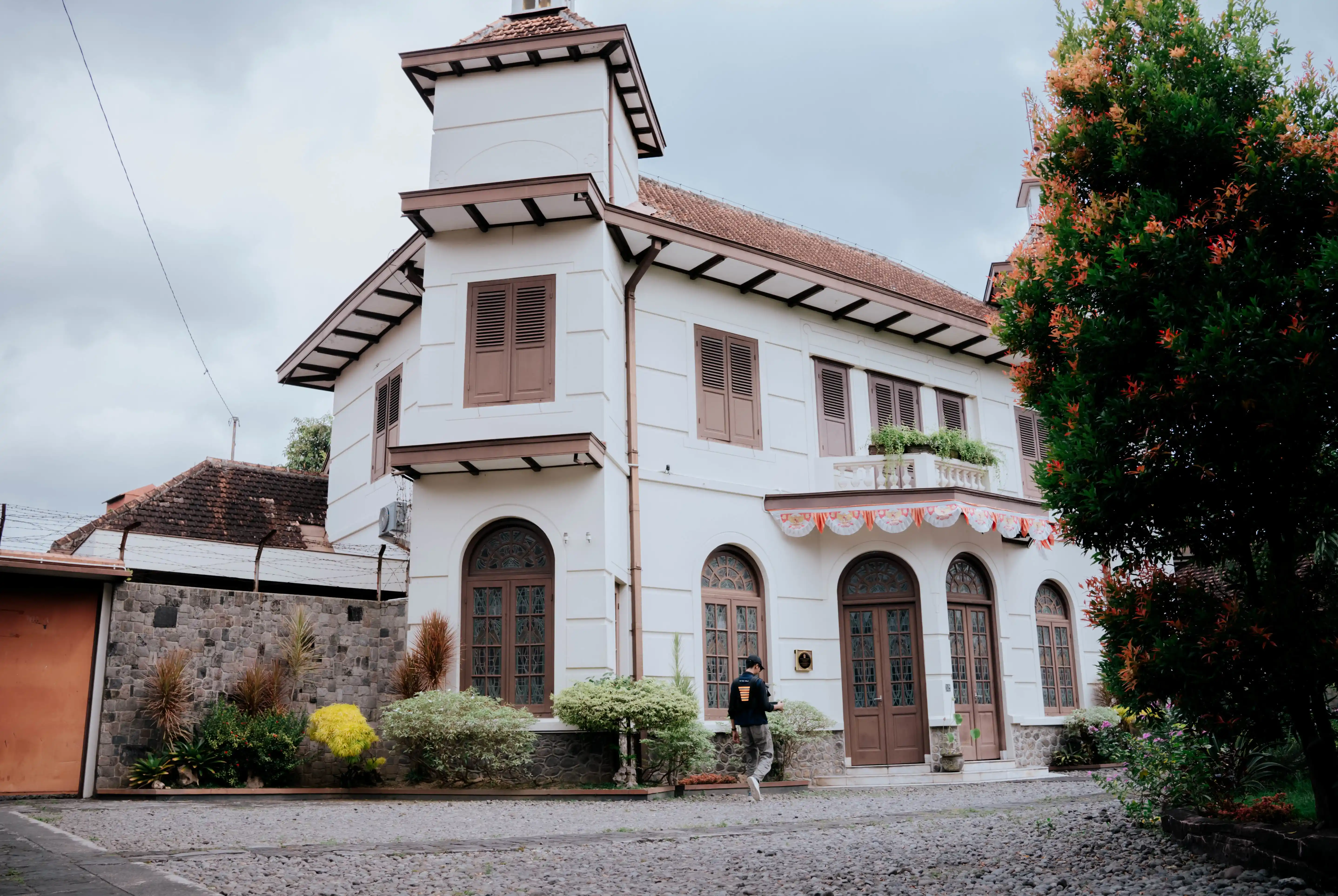
Scan to BIM Kotabaru Heritage Area
View Case Study