
Scan to BIM Kotabaru Heritage Area


Project Details
- Location : Kotabaru, Yogyakarta
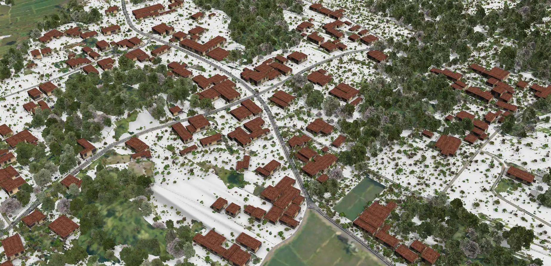
- LOD : 200-300
- Area : 185 Ha
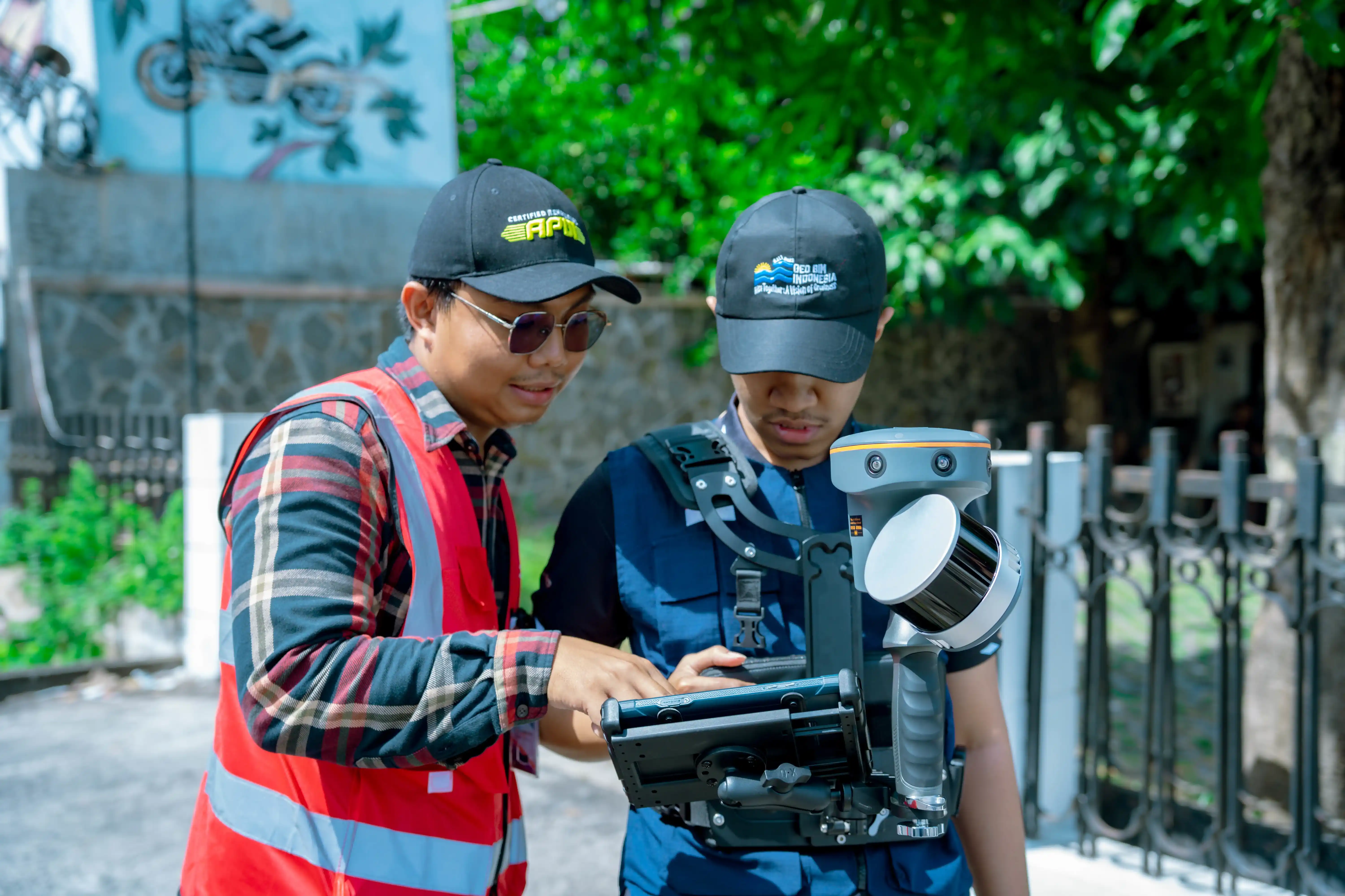
- Data Resources : Point cloud, Scan LiDAR, Orthophoto, SLAM, Google Streetview
- Equipment : GNSS CHC i50, UAV VTOL CHC P330 Pro, Sensor LiDAR AA450, CHCNAV RS10
- Project Outputs: 3D Model
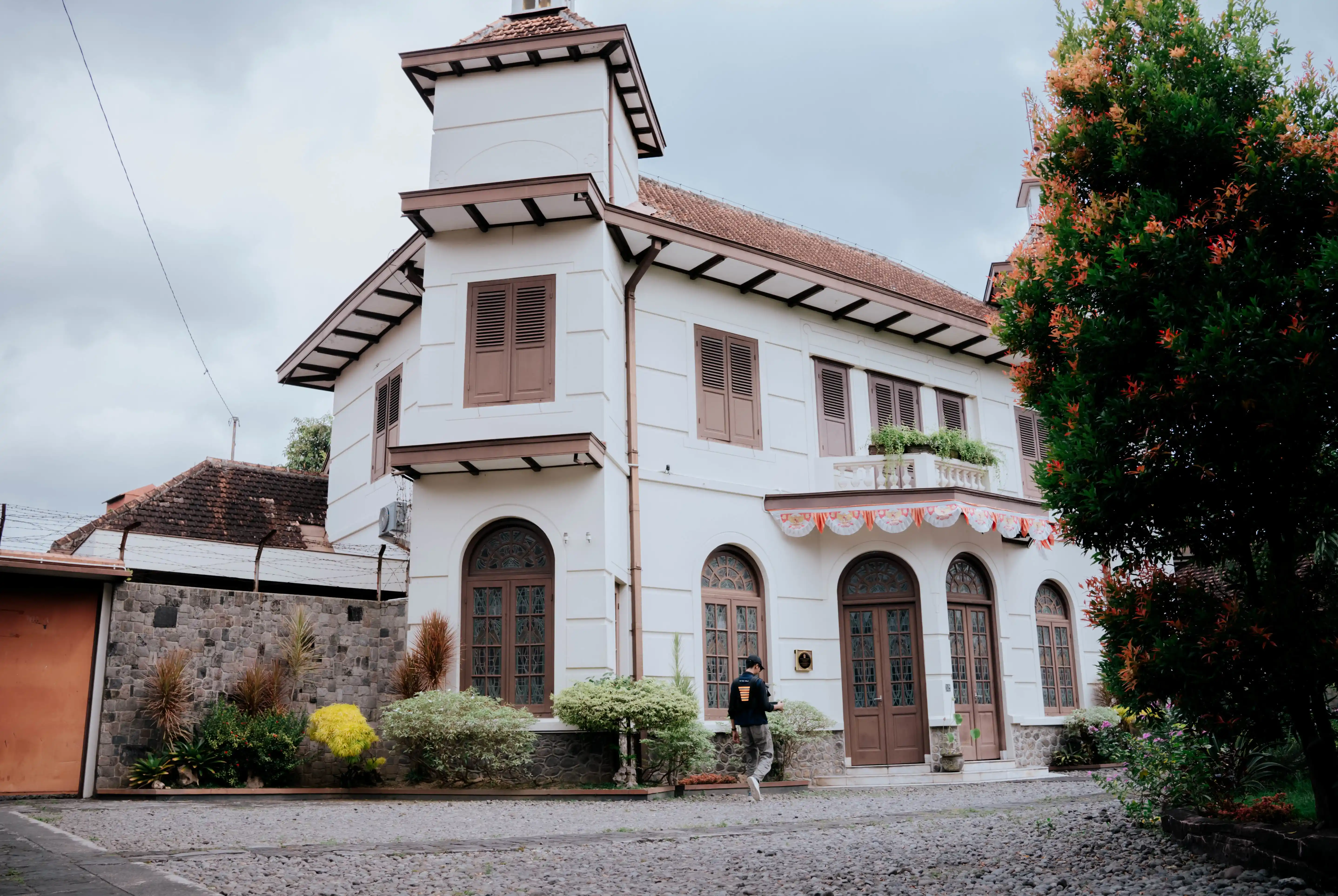
- Objectives: To provide comprehensive spatial data for the Kotabaru Strategic Spatial Area (SRS) that accurately represents existing conditions based on field surveys and data acquisition. The project also aims to deliver 3D models of cultural heritage buildings within the Core Zone and Buffer Zone, covering a total of 61 heritage buildings.
- Project Duration: 60 days
- Year: 2025
The Paniradya Keistimewaan DIY required accurate and up-to-date spatial data to support strategic planning and the management of cultural heritage assets in the Kotabaru area.
To address this need, GeoBIM carried out a Scan to BIM project for the Kotabaru area, completed within 60 days. GeoBIM delivered Strategic Spatial Unit (SRS) data in the form of detailed 3D models for 61 cultural heritage buildings located within the Core and Buffer Zones, including Syuhada Mosque, St. Antonius Church, SMAN 3 Yogyakarta, and Panti Rapih Hospital. The resulting area-wide 3D model functions as a digital twin and serves as a reliable data foundation for the Kotabaru development master plan and more informed decision-making.
Related Projects
Scan to BIM Heritage Situs Sokoliman
View Case Study
Scan to BIM Candi Ijo Heritage Area
View Case Study