
Federation & Visualization of Sigli–Banda Aceh Toll Road
.webp)
.webp)
.webp)
Project Details
-
Location : Jalan Tol Sigli, Banda Aceh
-
Length : 52,8 km
-
Data Resource : 3D Model
-
Project Outputs: 3D Model Federation, Toll Road Visualization Video
-
Objectives: To complete and refine existing models To produce an interactive walkthrough video that fully visualizes the toll road design.
-
Project Duration: 4 months
-
Year: 2025
Related Projects

Scan to BIM Ship
View Case Study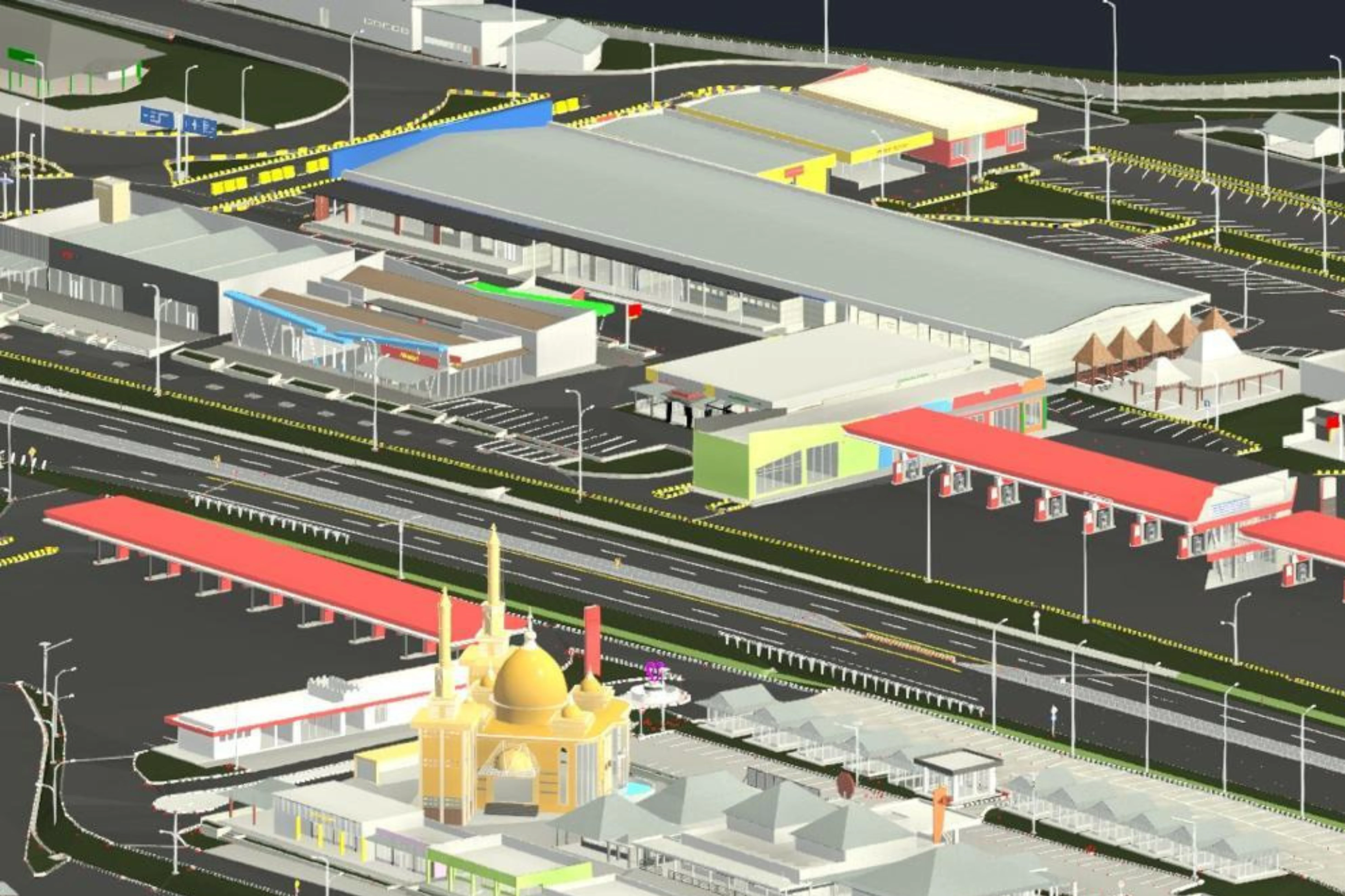
3D Road Ledger Modeling – Cipularang Toll Road
View Case Study.webp)