
Cinere-Serpong Toll Road
Project Details
- Location : Serpong (Tangerang Selatan) - Cinere (Depok)
- LOD : 300 - 350
- Length : 11 km
- Data Resource : Plan Leger dan Asbuilt Drawing
- Year : 2024
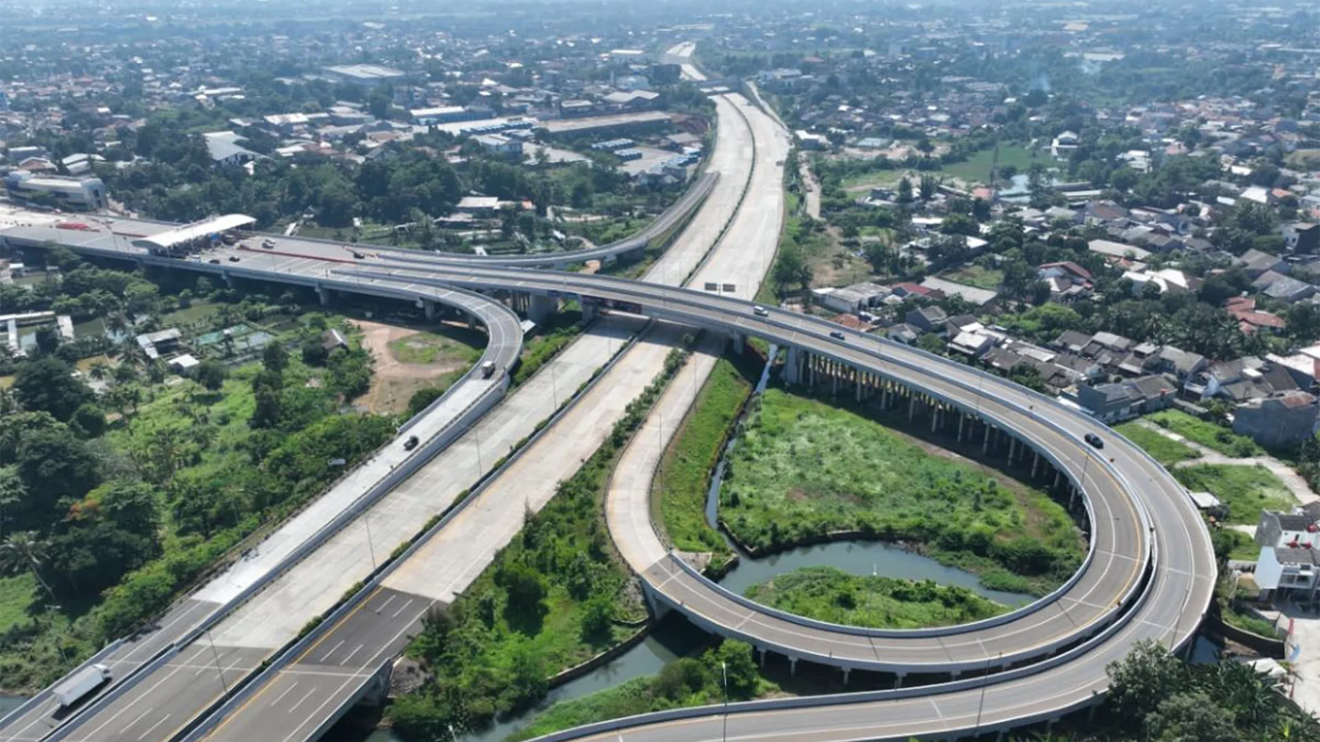
Serpong - Cinere Toll Road is part of the Jakarta Outer Ring Road 2 which is able to improve connectivity, and facilitate access to various areas, such as Bogor, Ciawi, Soekarno - Hatta Airport, and Jagorawi Toll Road. Serpong-Cinere Toll Road has 4 toll gate locations, namely Pamulang Toll Gate, Serpong Toll Gate 5, Serpong Toll Gate 6, and Serpong Toll Gate 7.
This toll road with a length of about 10 km was successfully modeled by the GeoBIM Indonesia Team with a Level of Detail (LOD) detail level of 300 - 350. The modeling of the Serpong - Cinere Toll Road was carried out for two months, with a series of works, namely collecting as-built, road leger images, and point cloud data; surveying toll locations using Google Earth; road modeling from leger images; modeling toll gates and overpass structures using point cloud data; and rendering for visualization. The Serpong - Cinere Toll Road Leger Modeling is expected to be utilized as an asset inventory and toll road information development.
Related Projects
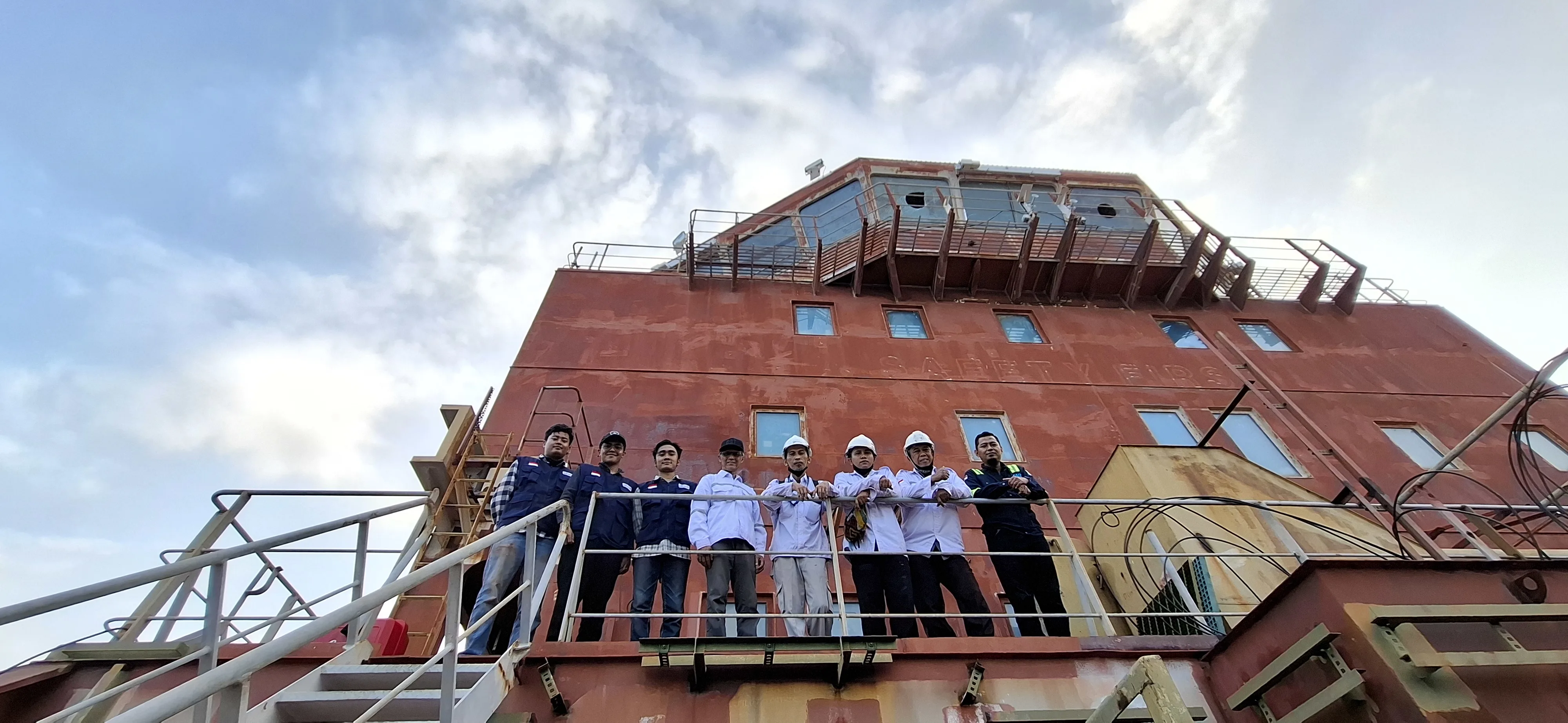
Scan to BIM Ship
View Case Study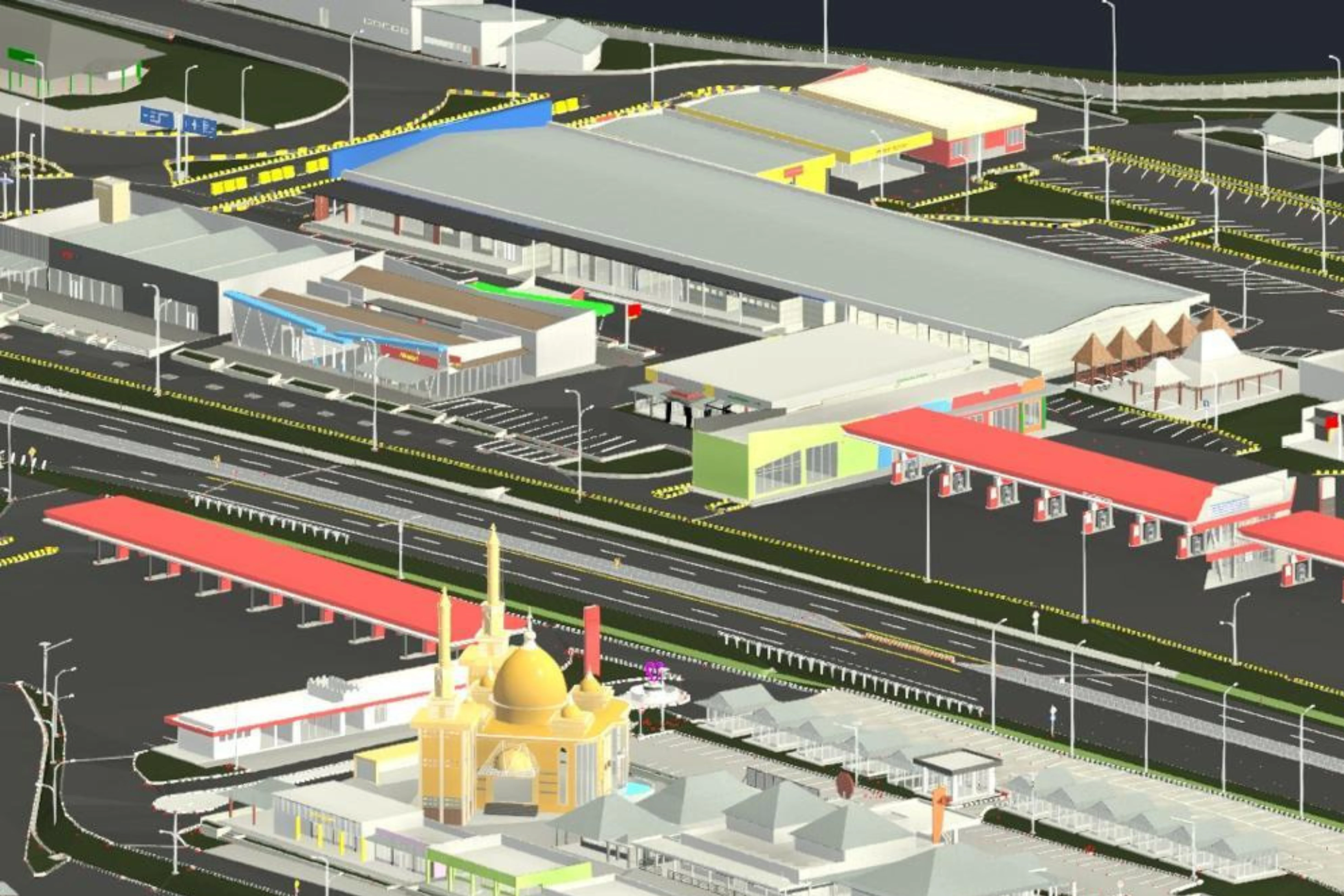
3D Road Ledger Modeling – Cipularang Toll Road
View Case Study.webp)