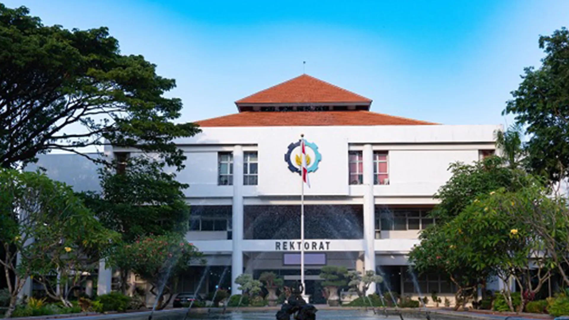
Scan to BIM Universitas Muhammadiyah Yogyakarta
Project Details
- Location : Universitas Muhammadiyah Yogyakarta
- LOD : 300-350
- Area : 28 Ha
- Data Resource : Point cloud, Scan LiDAR, Orthophoto
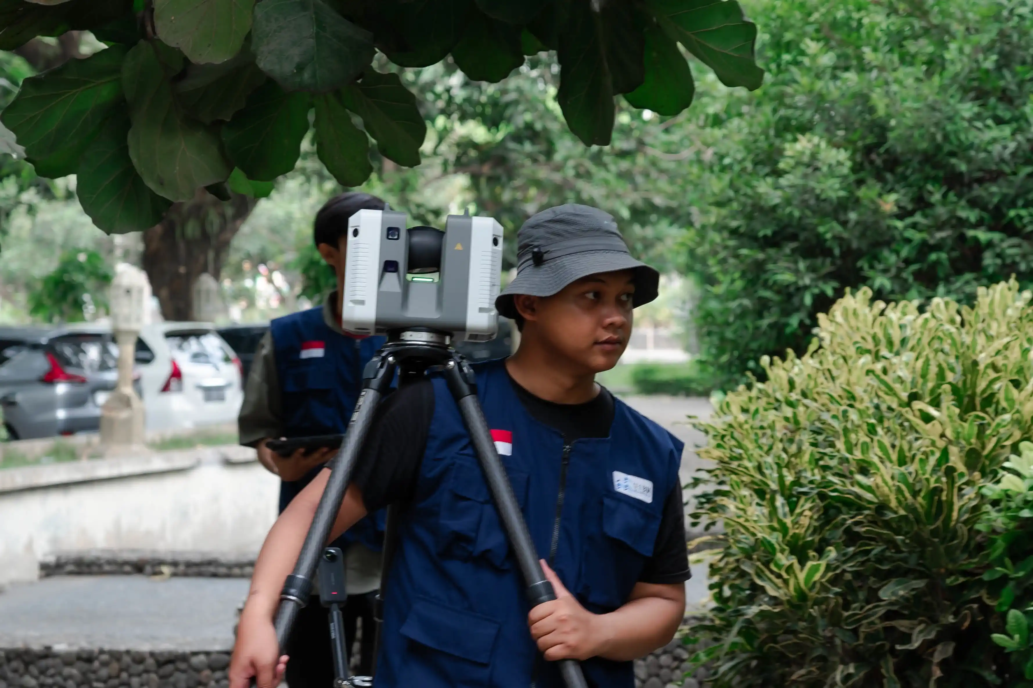
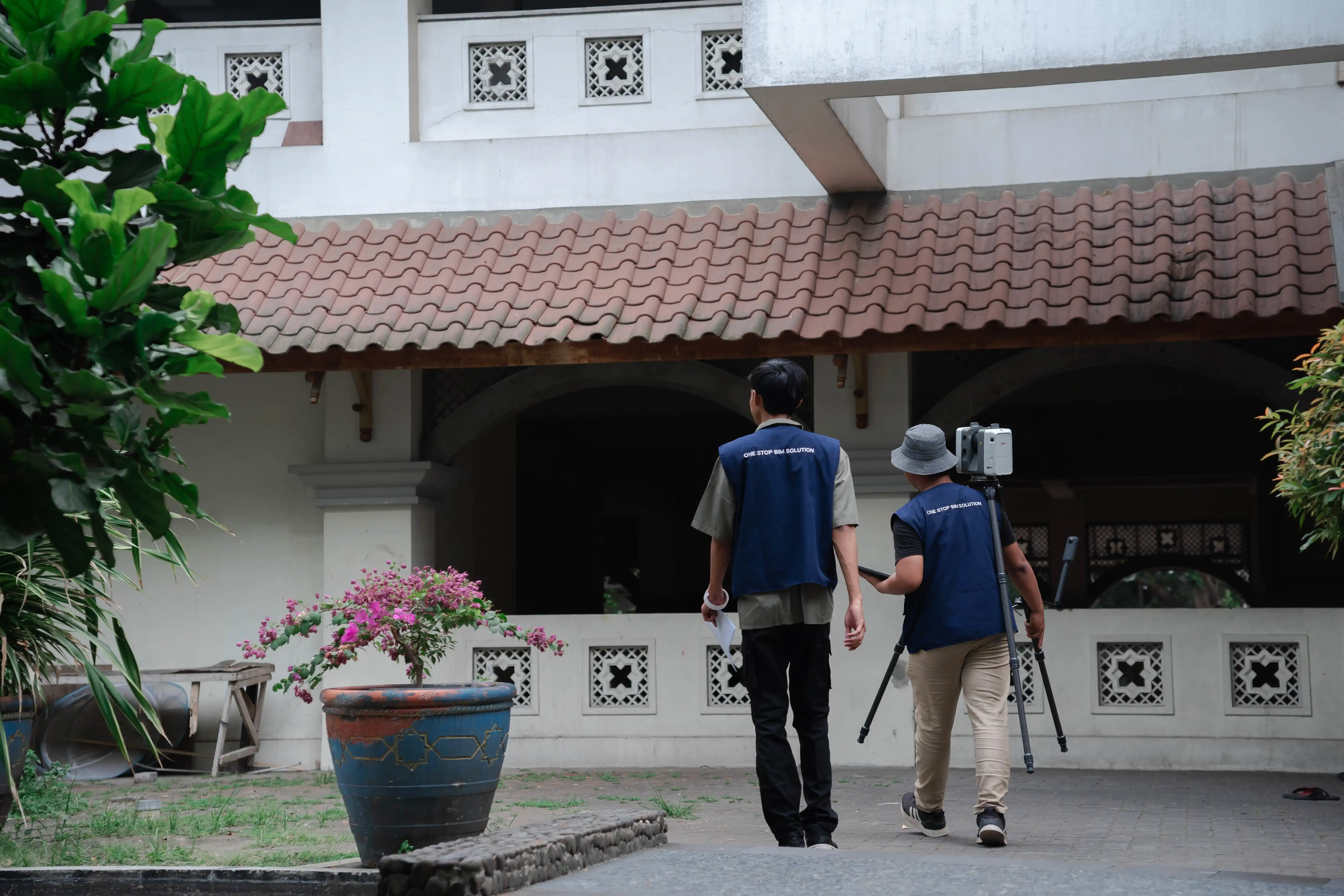
- Equipment : GNSS CHC i50, DJI Matrice 300, Sensor LiDAR Apus MX
- etail Output: 3D Model Eksterior, LiDAR mapping and processing, Asset management UMY
- Tujuan Project: To develop 3D models of all exterior elements of Universitas Muhammadiyah Yogyakarta using the Scan to BIM method to support asset management requirements.
- Project Duration: 50 days
- Year: 2025
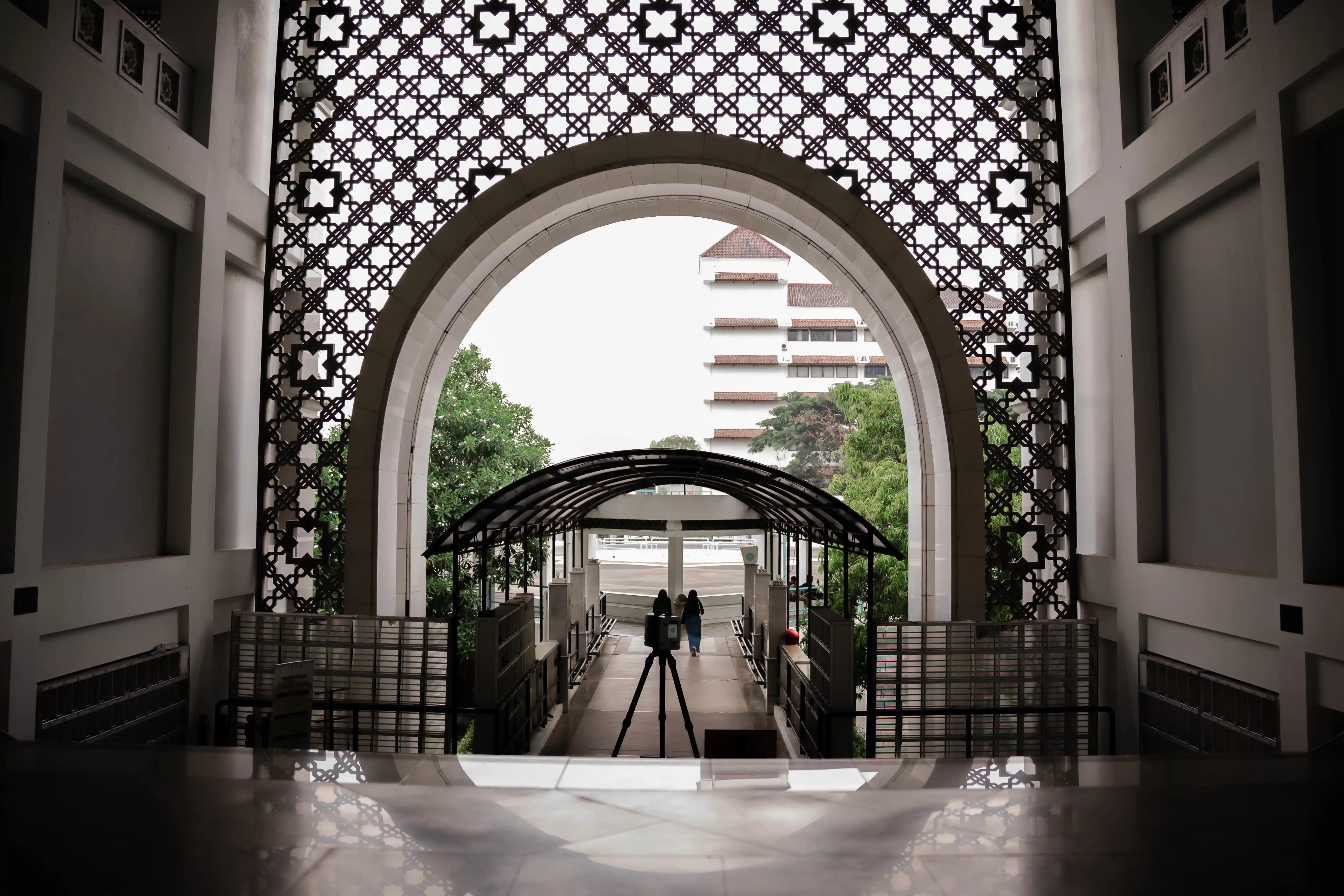
As the construction industry continues to evolve, Universitas Muhammadiyah Yogyakarta (UMY) is transitioning toward the implementation of facility management for its campus buildings. This transformation requires an integrated campus model to enable effective, efficient, and sustainable asset, operational, and maintenance management. To support this initiative, GeoBIM developed 3D models of all exterior and interior campus elements using the Scan to BIM method for asset and facility management purposes. A total of 36 buildings and facilities were modeled, producing accurate digital documentation that reflects actual building conditions and serves as a reliable data foundation for maintenance planning, asset monitoring, and informed facility management decisions.
Related Projects

Scan to BIM Yogyakarta International Airport
View Case Study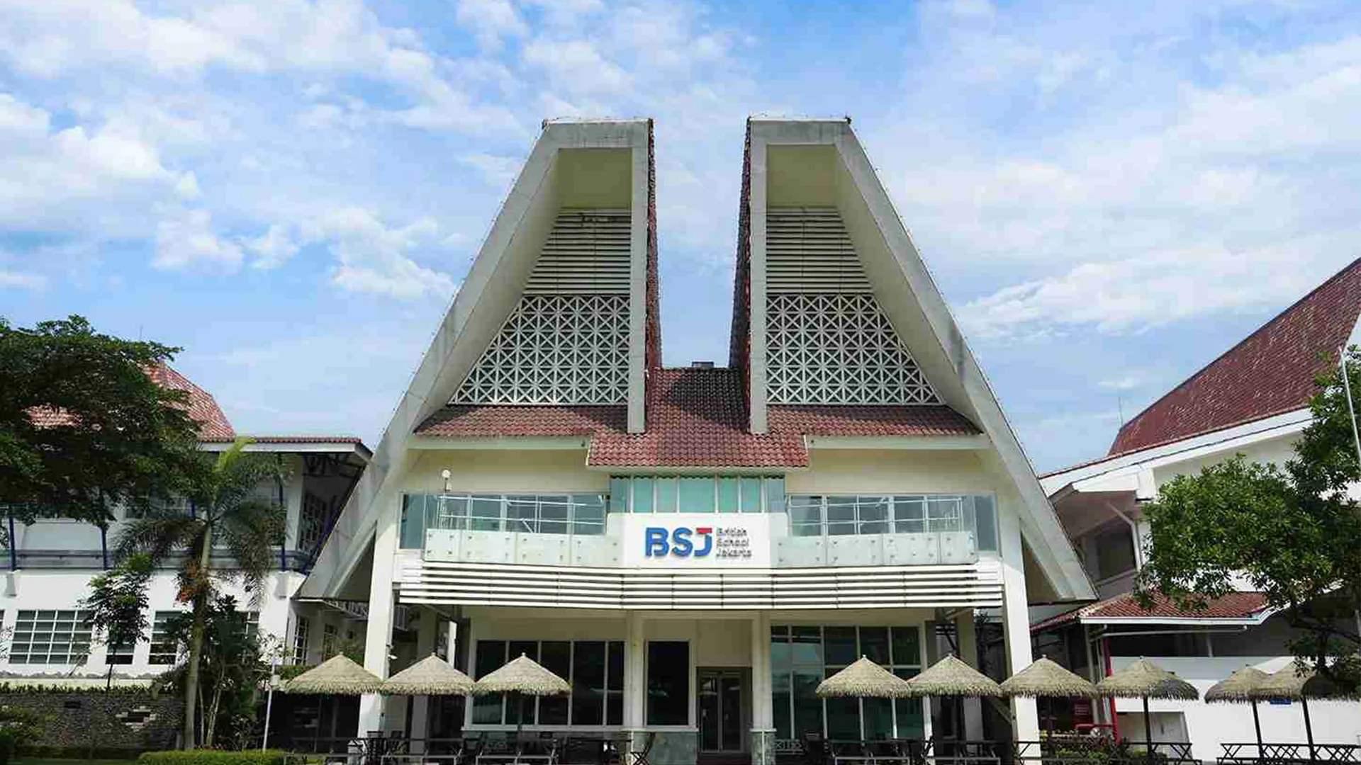
BSJ (British School Jakarta)
View Case Study