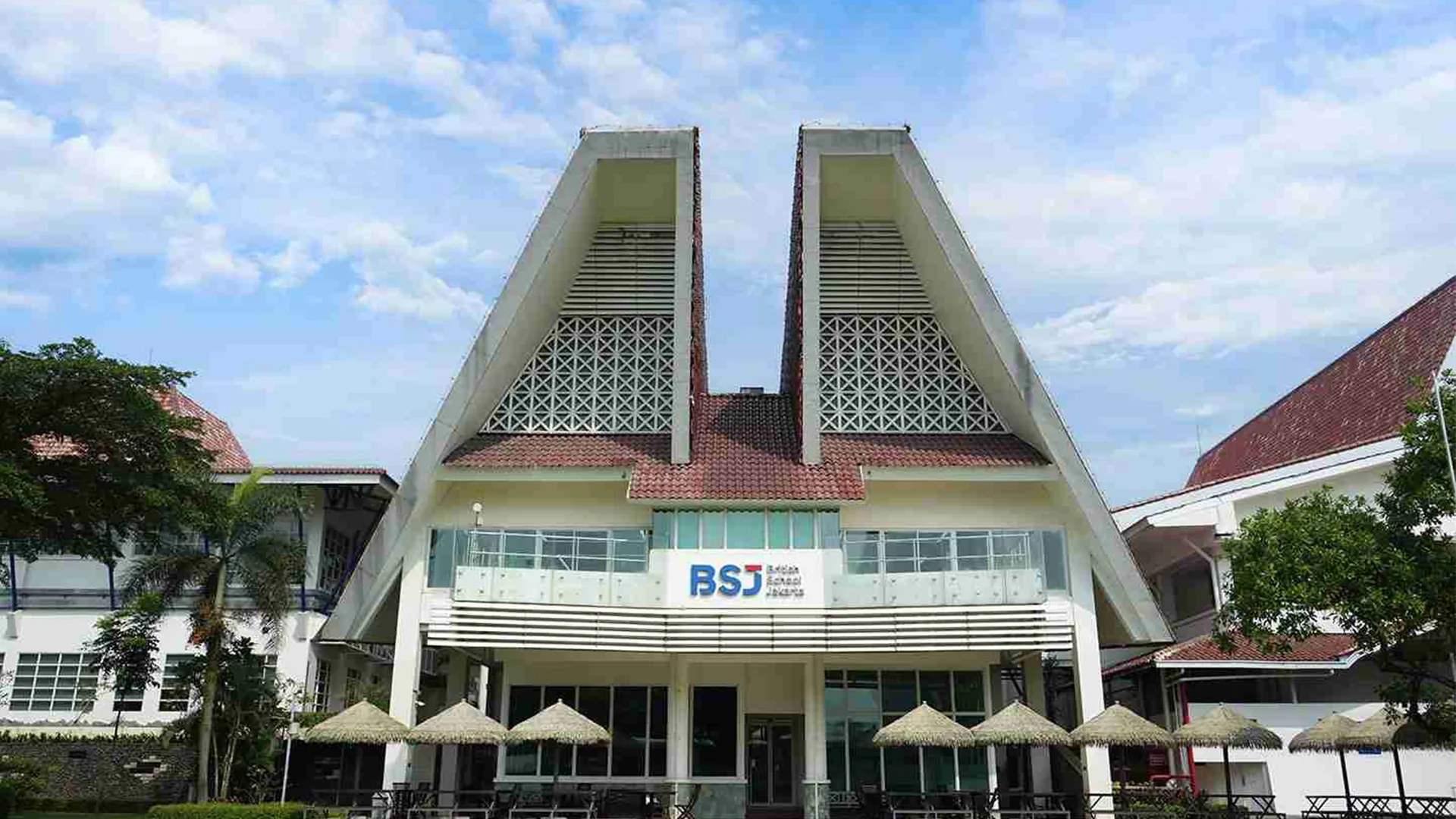
BSJ (British School Jakarta)

Project Details
- Location : Bintaro, Tangerang Selatan
- LOD : 300
- Area : 17,33 hektar
- Data Resource : Scan to BIM + LiDAR
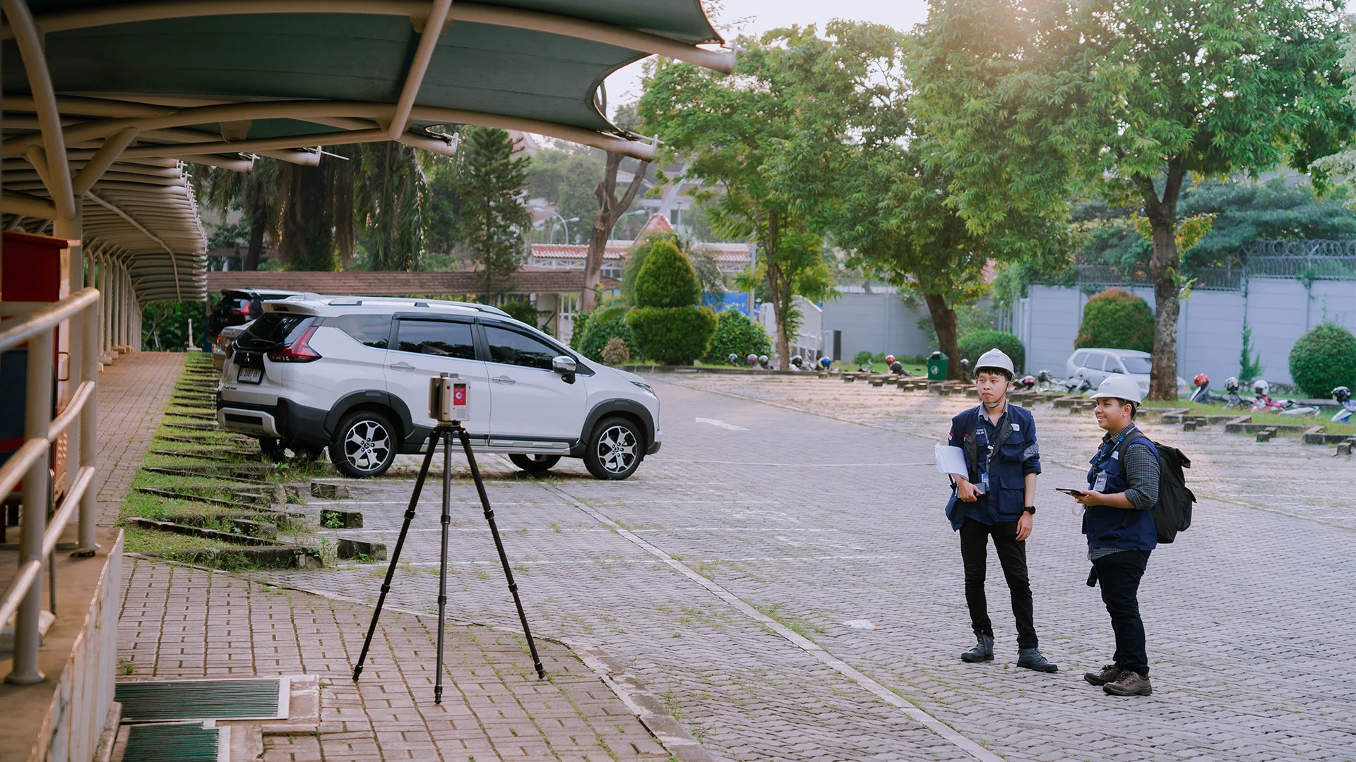
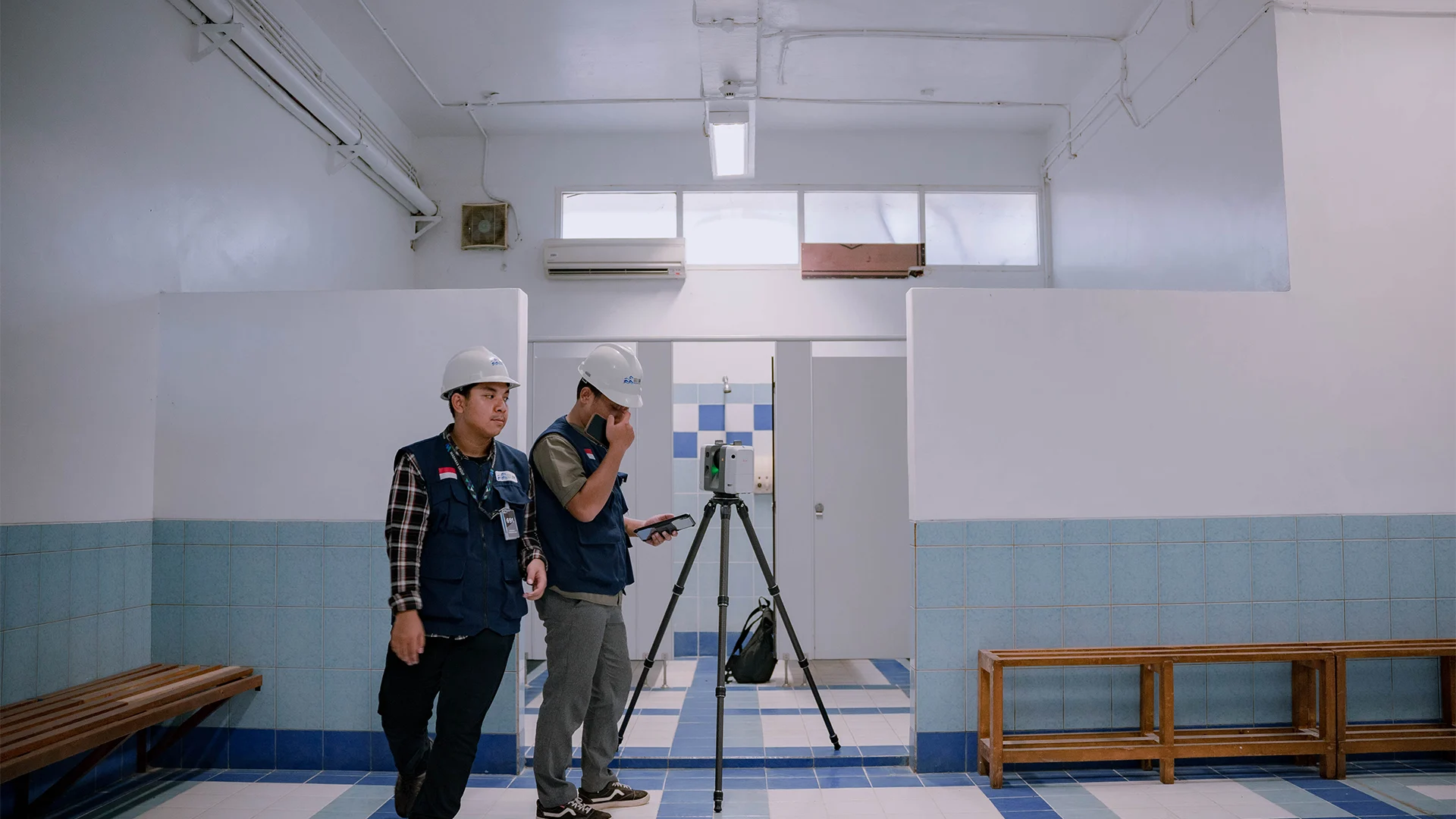
- Equipment : Leica RTC 360 RTK, GPR, CHCNAV Alpha Air 450, GNSS CHCNAV i50, Dji Matrice 300
- Year : 2024
British School Jakarta required integrated and high-accuracy data to comprehensively document the entire campus environment, including terrain, building structures, and underground utilities. The data was used by construction professionals to support future school development.
As an experienced 3D mapping service provider in Indonesia, GeoBIM was entrusted as BSJ’s partner to deliver reliable spatial data for planning and decision-making. The project was carried out over 14 weeks, with more than 50 buildings and facilities modeled. To ensure comprehensive results, the surveys conducted included GNSS, LiDAR, GPR, vegetation surveys, hydrographic surveys, and terrestrial laser scanning (TLS), enabling all data to be integrated into a single, consistent system usable across multiple technical disciplines.
Related Projects
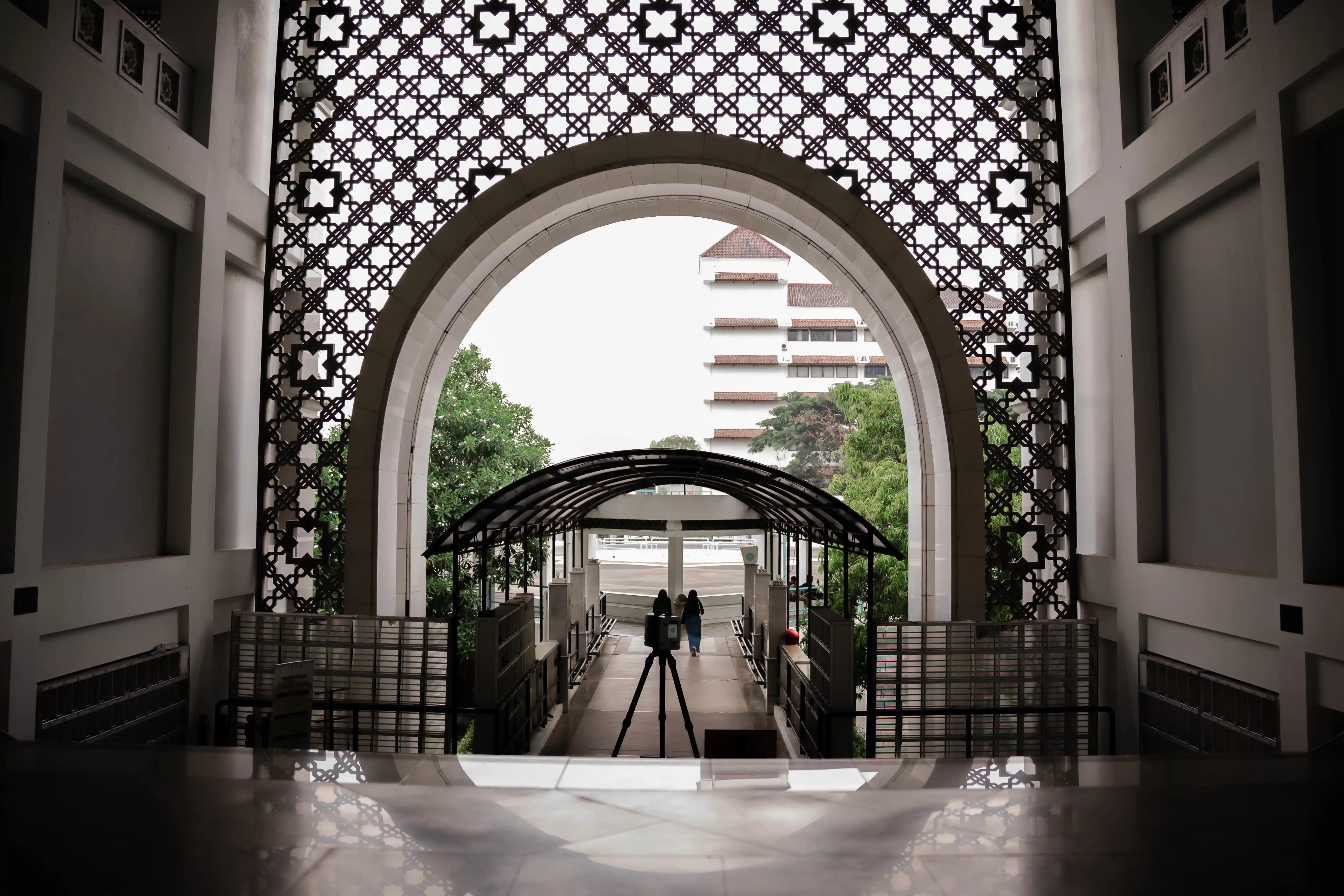
Scan to BIM Universitas Muhammadiyah Yogyakarta
View Case Study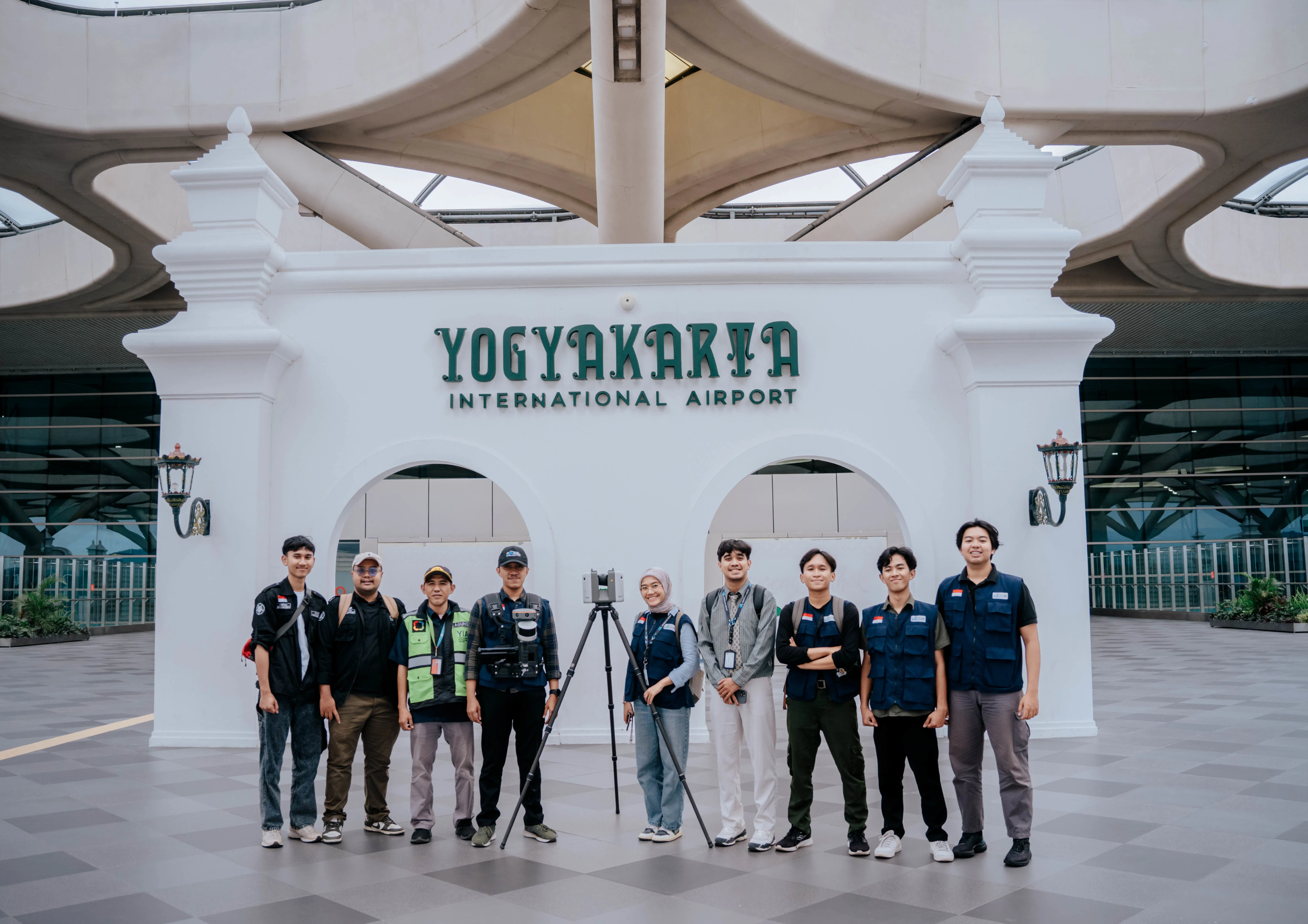
Scan to BIM Yogyakarta International Airport
View Case Study