One Stop BIM Solution
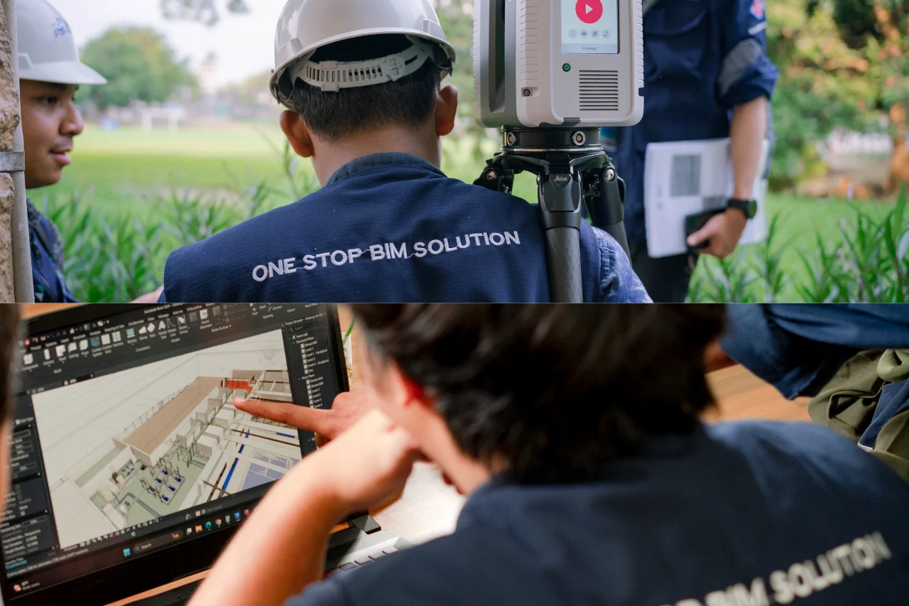
Point cloud registration is the process of merging multiple scans into a unified coordinate system, both locally and globally. This step is essential to ensure data accuracy and facilitate subsequent processes like 3D modeling.
To achieve accurate point cloud registration, the following steps should be considered:
1. Sequential Registration Based on TLS Movement
Register the TLS scan results sequentially according to the movement of the equipment. This approach simplifies error identification and data management. If an error occurs, corrections can be made quickly without repeating the entire process.
2. Ensure Minimal Correlation Error Between Scans
Each scan must have a strong correlation with others. A large error in the correlation can negatively impact the entire point cloud. Therefore, it is crucial to regularly check error values and keep them as low as possible.
3. Remove Target Correlations with the Highest Errors
If certain reference points or targets show significant errors in registration, they should be excluded from calculations. However, ensure that enough targets remain to maintain accurate registration.
4. Lock Well-Registered Scans
Once a scan is successfully registered, it should be locked to prevent it from being affected by subsequent registrations. This ensures data stability and consistency.
5. Create Groups or Clusters for Large-Scale Scanning
For a large number of scans, grouping or clustering them simplifies data management and speeds up the registration process. Successfully registered scans can also be hidden (unloaded/hidden) to maintain a clean display without deleting data.
By applying the above steps, the registration process of point clouds from TLS can be done more effectively and accurately, so that the scans are optimized for various needs, such as mapping and 3D model reconstruction.


