Road inventory documents, commonly known as Leger Jalan, play a crucial role in road infrastructure management. However, many road inventories are still delivered in 2D drawing formats. While sufficient for basic documentation, 2D data often becomes problematic when used for analysis, evaluation, and decision-making.
Information presented in 2D drawings is typically fragmented, difficult to interpret holistically, and prone to miscommunication among stakeholders. These limitations lead to inefficient workflows, repeated revisions, and, in many cases, increased maintenance and operational costs. As infrastructure systems grow more complex, road inventory documentation must evolve beyond static 2D representations.
.png)
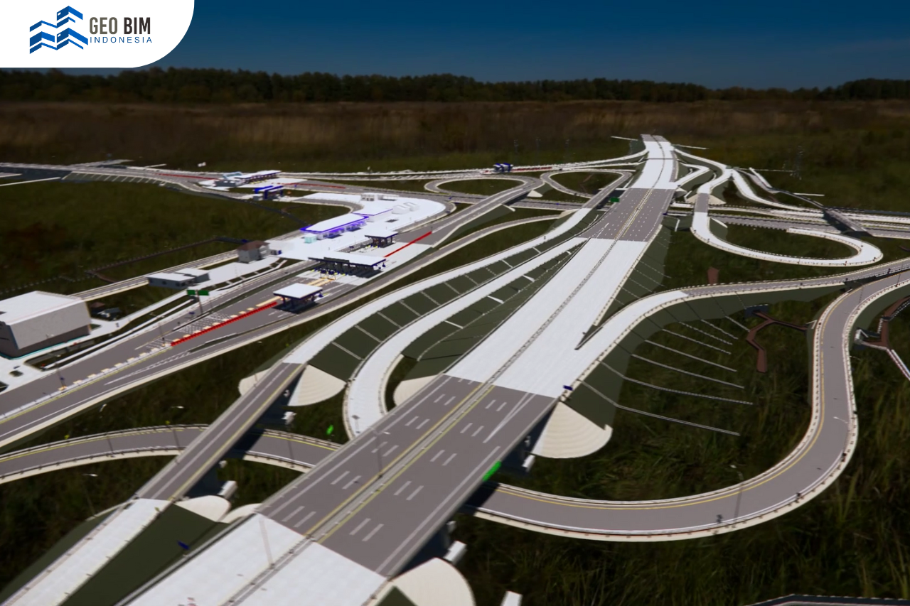
3D Road Inventory Models
Upgrading Leger Jalan from 2D drawings to 3D models offers significant advantages in supporting road preservation. A 3D model provides a more comprehensive and realistic representation of existing road conditions, making the data easier to understand and analyze across multidisciplinary teams.
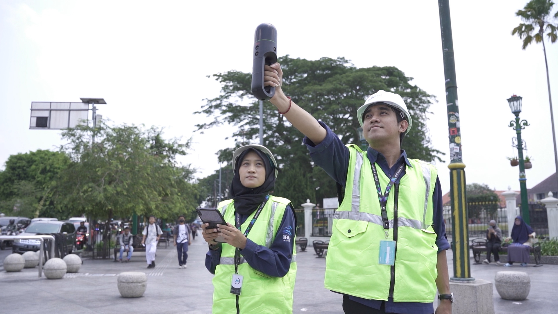
When developed as a digital As-built Drawing, the 3D model becomes a reliable record of actual field conditions. Supported by 3D scanning services, accurate geometric data can be captured directly from the site. This data is then processed through 3D modeling services to produce detailed and reliable models that can be used for technical analysis, documentation, and long-term infrastructure planning.
Through this transformation, road inventory data shifts from static documentation to a dynamic digital asset.
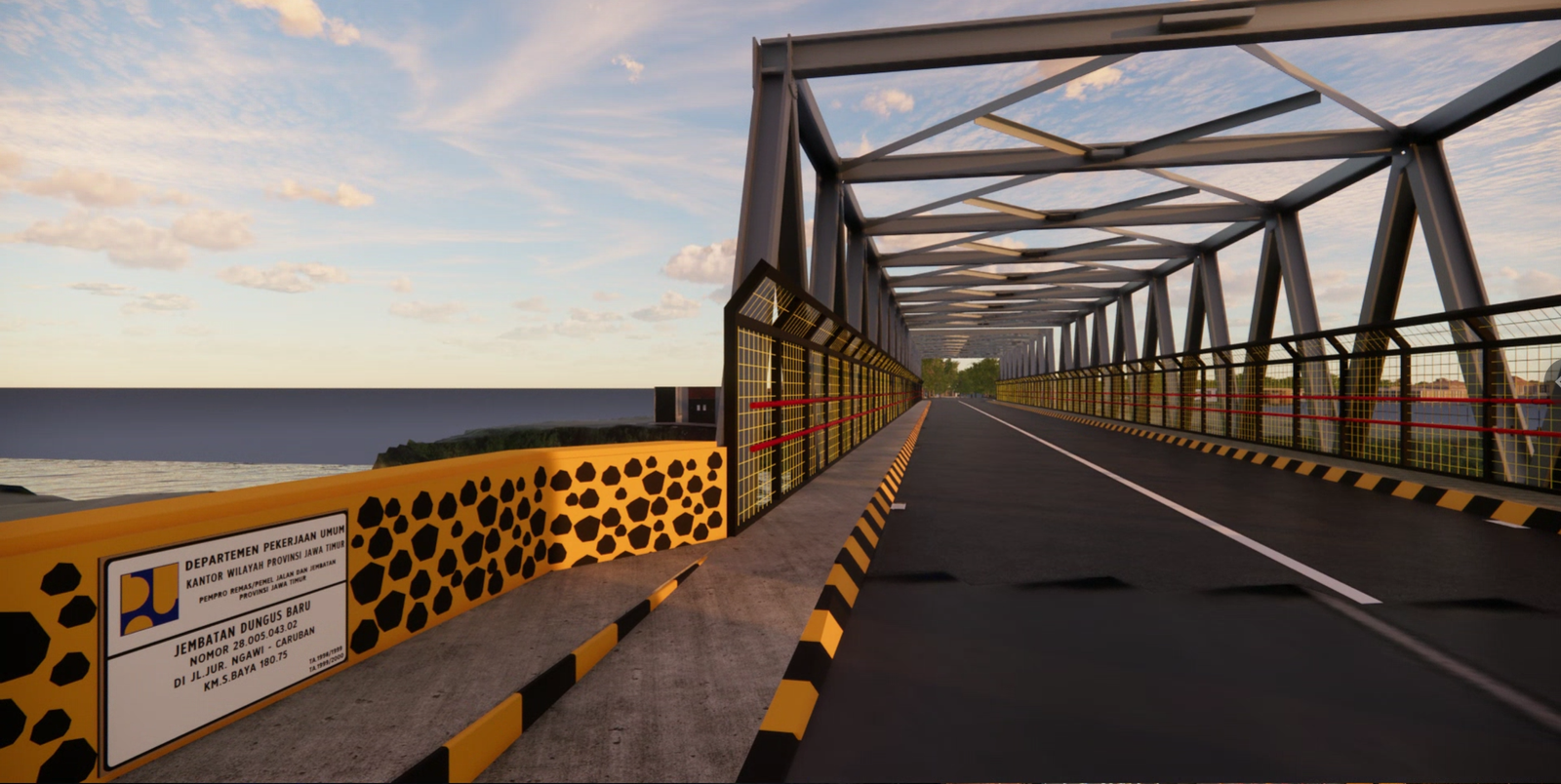
The Role of BIM in Efficient Road Preservation
The integration of Building Information Modeling (BIM) significantly enhances the value of 3D road models. BIM enables each road element to carry asset information, technical specifications, and maintenance history within a single, structured data environment.
BIM-based 3D models support more efficient road preservation by enabling easier condition monitoring, systematic documentation of maintenance activities, and data-driven decision-making. This approach allows infrastructure owners and managers to prioritize interventions accurately and manage road assets more sustainably over time.
.png)
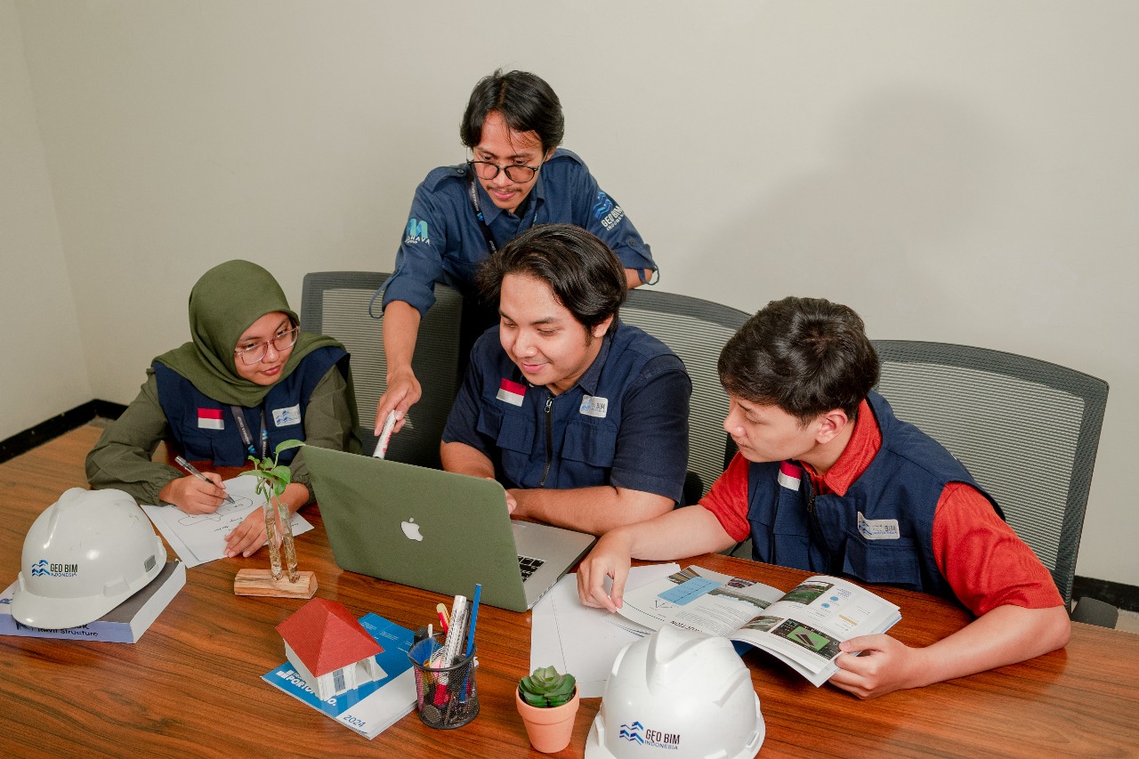
As BIM becomes an essential foundation in the digital transformation of road and infrastructure asset management, GeoBIM Indonesia stands as a reliable BIM consultant capable of delivering comprehensive solutions for Leger Jalan modernization. GeoBIM Indonesia provides end-to-end services, starting from 3D scanning services and point cloud processing, to the development of accurate 3D Models and As-built Drawings based on BIM that truly reflect real-world conditions.
Supported by advanced technology and an experienced professional team, every project is executed with high precision and aligned with applicable national BIM standards.
Through integrated 3D modeling services, GeoBIM Indonesia helps infrastructure owners improve data accuracy, optimize road preservation strategies, and enable data-driven decision-making.
Contact GeoBIM Indonesia today and upgrade your Leger Jalan into a BIM-based 3D model for more efficient and sustainable infrastructure management.
📞 +62 838-3866-5598 (Sales Engineer – GeoBIM Indonesia)
.png)