GeoBIM Friends have probably visited temples and noticed the stone reliefs or carvings on their walls. The details are intricate, textured, and highly complex. Sometimes we want to preserve or study these reliefs in more depth, but it’s difficult to do with just photos or manual measurements. This is where Scan to Mesh technology comes in as a powerful solution.
What is Scan to Mesh?
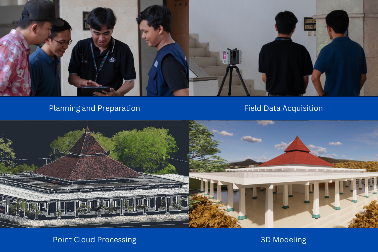
Scan to Mesh is the process of converting 3D scanning data (point clouds) into 3D mesh models. This technology allows objects with complex surfaces, like temple reliefs, to be digitally reproduced with high accuracy. The process typically starts with scanning using a laser scanner or photogrammetry, producing a point cloud, which is a collection of points representing the object’s surface. These points are then processed into a mesh, forming a continuous surface that can be edited or analyzed in 3D software.
In Autodesk Recap Pro, this feature is available through the “Scan to Mesh Local Processing” menu, where users can adjust important parameters, including: resolution, planar fitting tolerance, surface angle tolerance.
Why Scan to Mesh Important?
-
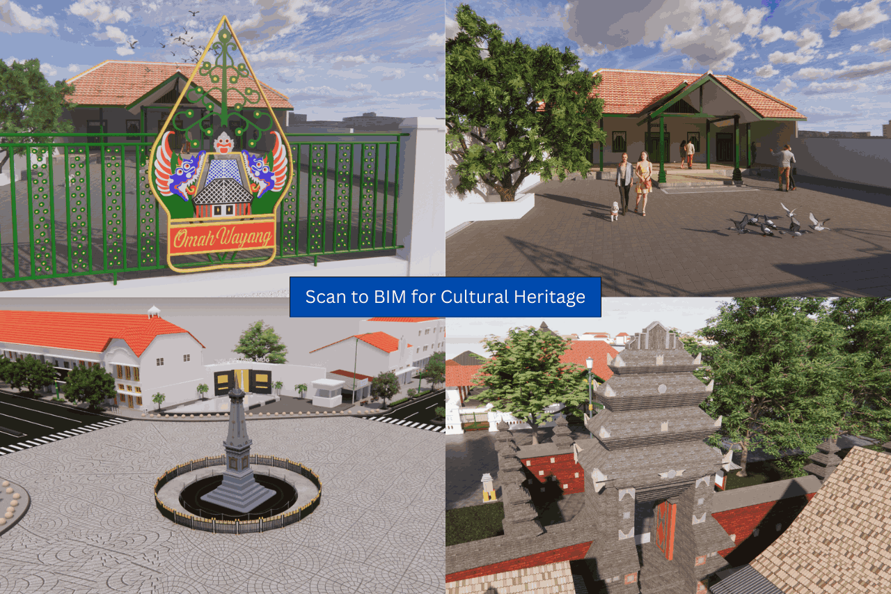
Cultural Heritage Preservation
Temple reliefs and stone carvings are often hundreds or even thousands of years old, making them highly vulnerable to natural erosion, weathering, pollution, or human interaction. Traditional documentation methods, like photographs or manual sketches, cannot fully capture the depth, texture, or intricate details of these artworks. With Scan to Mesh technology, every curve, groove, and texture of the relief can be digitally recorded with high precision, creating an accurate 3D replica that can be permanently archived, used to monitor degradation over time, or employed in restoration efforts—all without risking damage to the original artifact.
-
Archaeological Research
For archaeologists, studying temple reliefs in detail often requires on-site visits, which can be logistically challenging, restricted, or unsafe in fragile locations. Scan to Mesh allows researchers to examine intricate details from anywhere in the world, perform precise measurements and analyses directly on the 3D model, and even simulate or visualize reconstructions of damaged sections or original artistic techniques. This technology effectively democratizes access to archaeological data, enabling detailed study, teaching, and research without physically interacting with delicate historical sites.
GeoBIM, Your Professional Scan to BIM Partner
This is where GeoBIM Indonesia plays a key role. We not only master Scan to Mesh technology but also provide professional Scan to BIM services. The GeoBIM team has experience in:
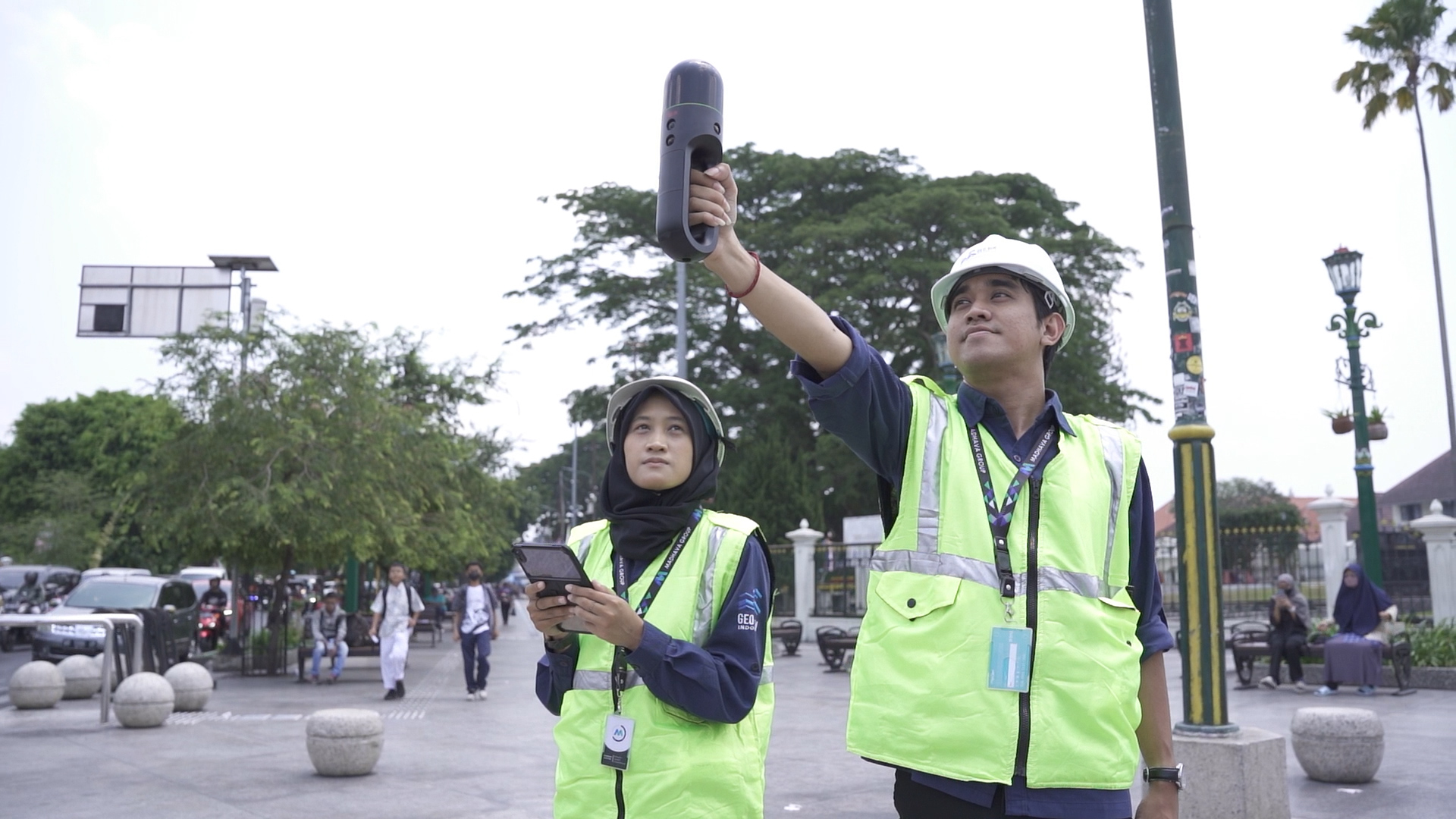
- Capturing point cloud data using advanced tools, including laser scanners and LiDAR drones.
- 3D modeling of complex objects, from temple reliefs to modern building structures.
- Transforming data into accurate BIM models ready for planning, documentation, or further analysis.
With our integrated approach, GeoBIM helps clients:
- Save time and costs compared to manual methods.
- Obtain precise digital models compatible across BIM platforms.
- Ensure every detail is accurately represented.
Digitally modeling temple reliefs is no longer a challenge, thanks to Scan to Mesh technology and the expertise of GeoBIM Indonesia. Whether for preservation, research, or BIM integration, our services make it possible to fully capture and utilize 3D data. So, if you need Scan to Mesh or Scan to BIM services, trust GeoBIM Indonesia as your professional partner!
.png)