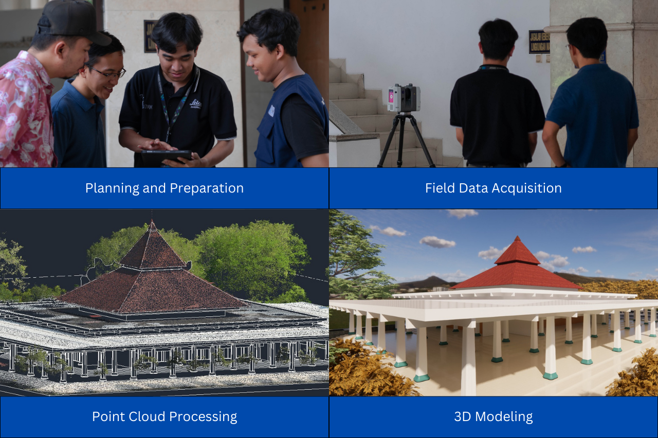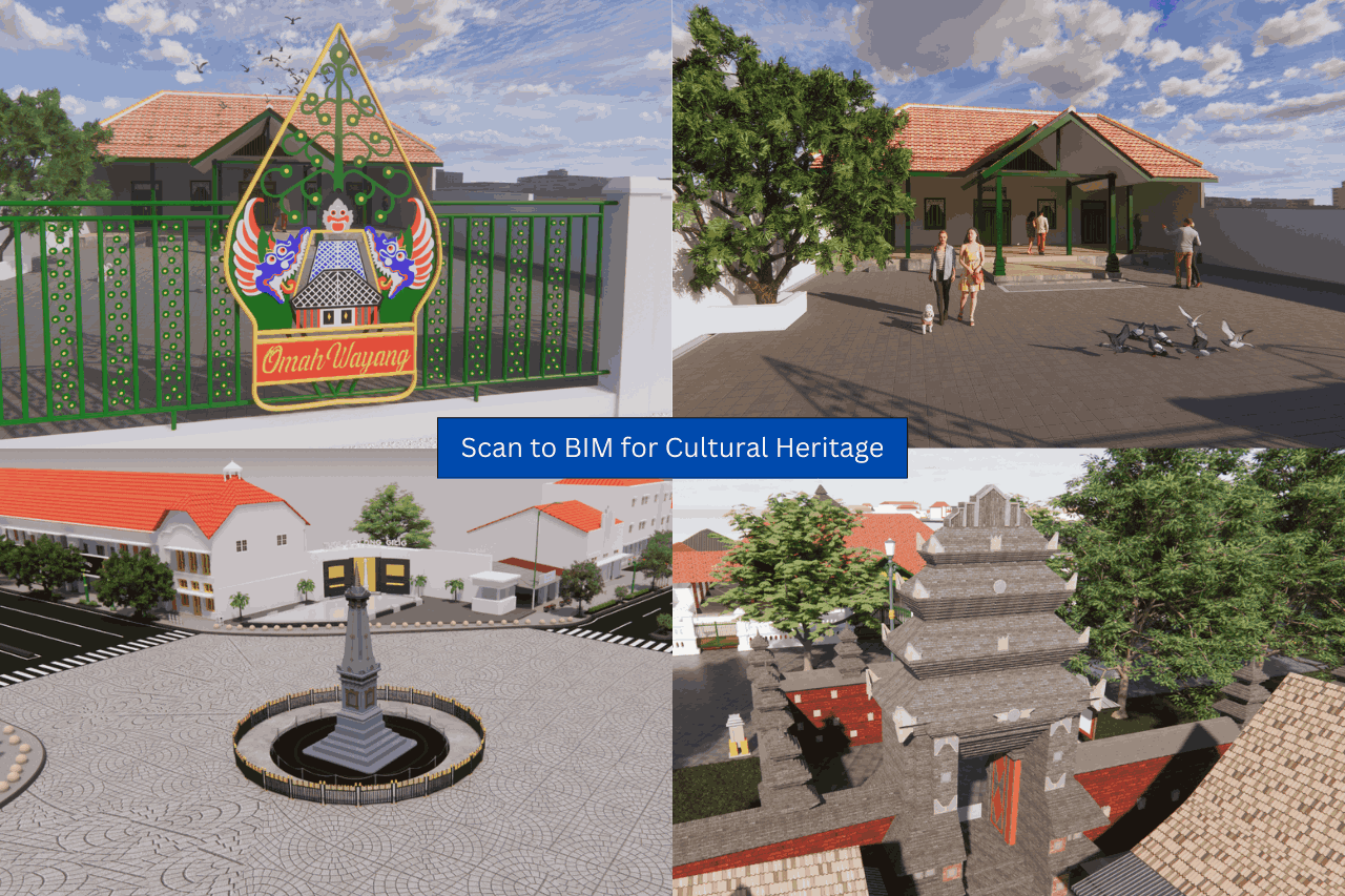

School buildings are essential public facilities that support teaching and learning activities every day. As buildings age, they naturally experience deterioration caused by continuous use, weather exposure, structural movement, or unexpected events such as earthquakes and floods. Before any renovation or rehabilitation project begins, engineers and facility managers need an accurate understanding of the building's current condition. Without reliable documentation, damaged areas can be overlooked, repair priorities may become unclear, and renovation costs can increase due to unforeseen issues discovered during construction.
Traditional building inspections typically rely on visual observations, manual measurements, photographs, and handwritten notes. While these methods have been widely used for many years, they often depend heavily on the inspector's interpretation and experience. Capturing every crack, deformation, or structural irregularity across an entire school campus can be both time-consuming and challenging. As educational facilities become larger and more complex, digital technologies such as 3D Scanning and 3D Modeling provide a more efficient way to document existing building conditions with a high level of accuracy.
Capturing Existing Building Conditions with 3D Scanning
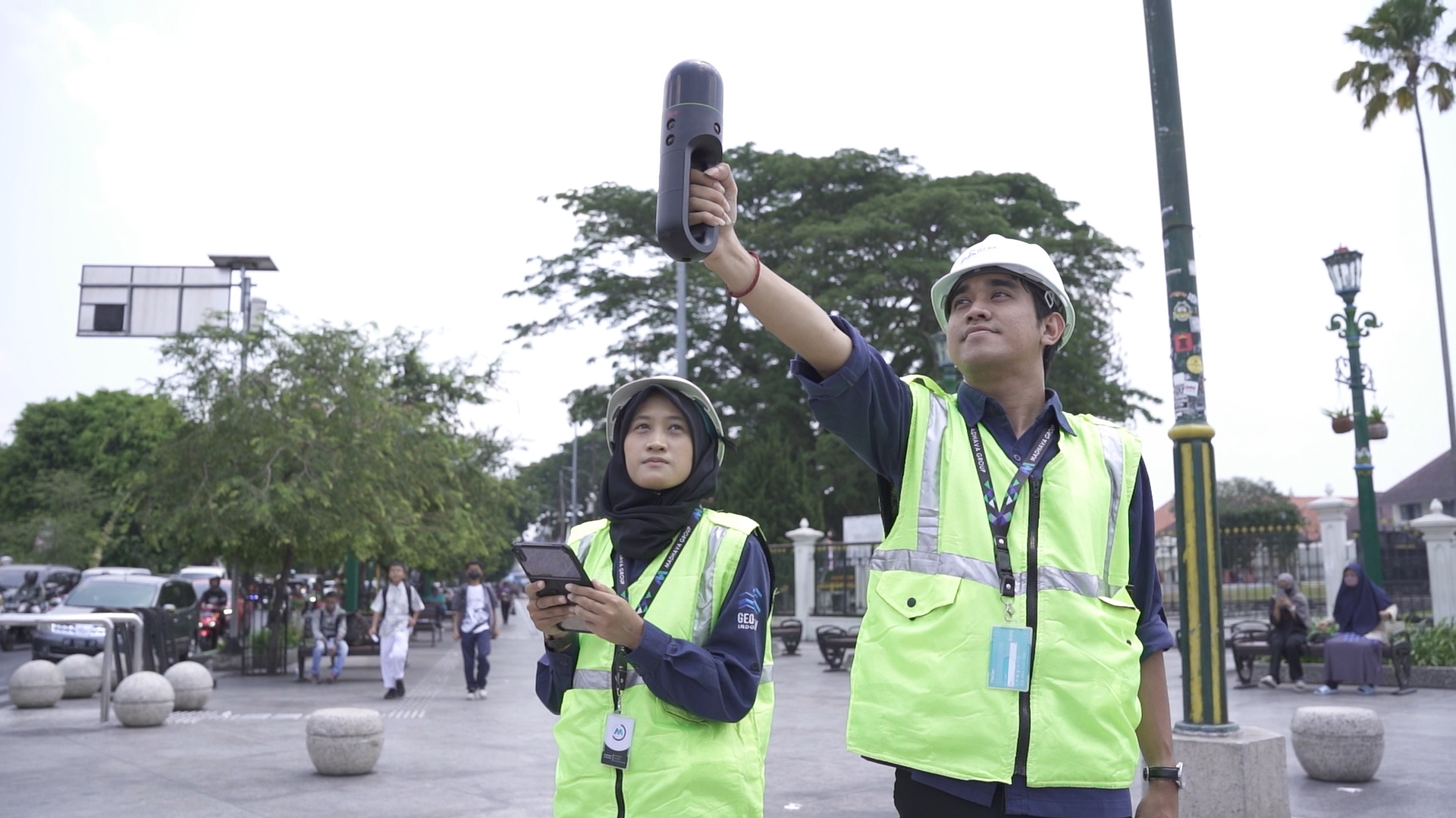
3D Scanning enables engineers to capture the complete geometry of a school building by collecting millions of precise spatial measurements within a relatively short period of time. Using laser scanning technology, every wall, column, beam, ceiling, corridor, classroom, staircase, and exterior façade can be recorded as a dense point cloud that accurately represents the building's existing condition.
Unlike conventional surveys that focus on selected measurements, a point cloud creates a comprehensive digital record of the entire facility. This allows engineers to revisit the captured data whenever additional measurements or inspections are required without returning to the project site. The digital archive also preserves the building's condition before renovation begins, providing valuable reference data for future maintenance and asset management.
Because the scanning process captures every visible surface, areas showing deterioration such as wall deformation, damaged finishes, uneven floors, or structural displacement can be examined more thoroughly during the evaluation stage. Engineers are able to zoom into specific areas, compare dimensions, and verify existing conditions directly from the digital dataset, reducing the possibility of missing important defects during inspection.
Accurate 3D Models Improve Building Assessment
After the scanning process is completed, the point cloud data is processed into an accurate 3D model representing the school's current condition. Unlike traditional drawings, a three-dimensional model allows stakeholders to understand the building more intuitively by visualizing every space, structural component, and architectural element from different perspectives.
The model serves as an effective tool for identifying which parts of the building require repair, reinforcement, or replacement. Engineers can clearly distinguish between areas with minor deterioration and locations that demand immediate structural intervention. This level of visualization improves communication among consultants, contractors, school administrators, and government agencies responsible for renovation planning.
Accurate 3D Modeling also minimizes uncertainty during project planning. Designers can develop renovation concepts using reliable existing-condition data instead of outdated drawings or incomplete documentation. As a result, renovation plans become more precise, material estimates become more reliable, and construction risks associated with inaccurate field information can be significantly reduced.
Supporting Smarter Renovation Planning Through Digital Data
Having a complete digital representation of a school building enables project teams to prioritize renovation work based on actual conditions rather than assumptions. Areas with severe structural deterioration can be addressed first, while components that remain in good condition can be preserved, allowing renovation budgets to be allocated more efficiently.
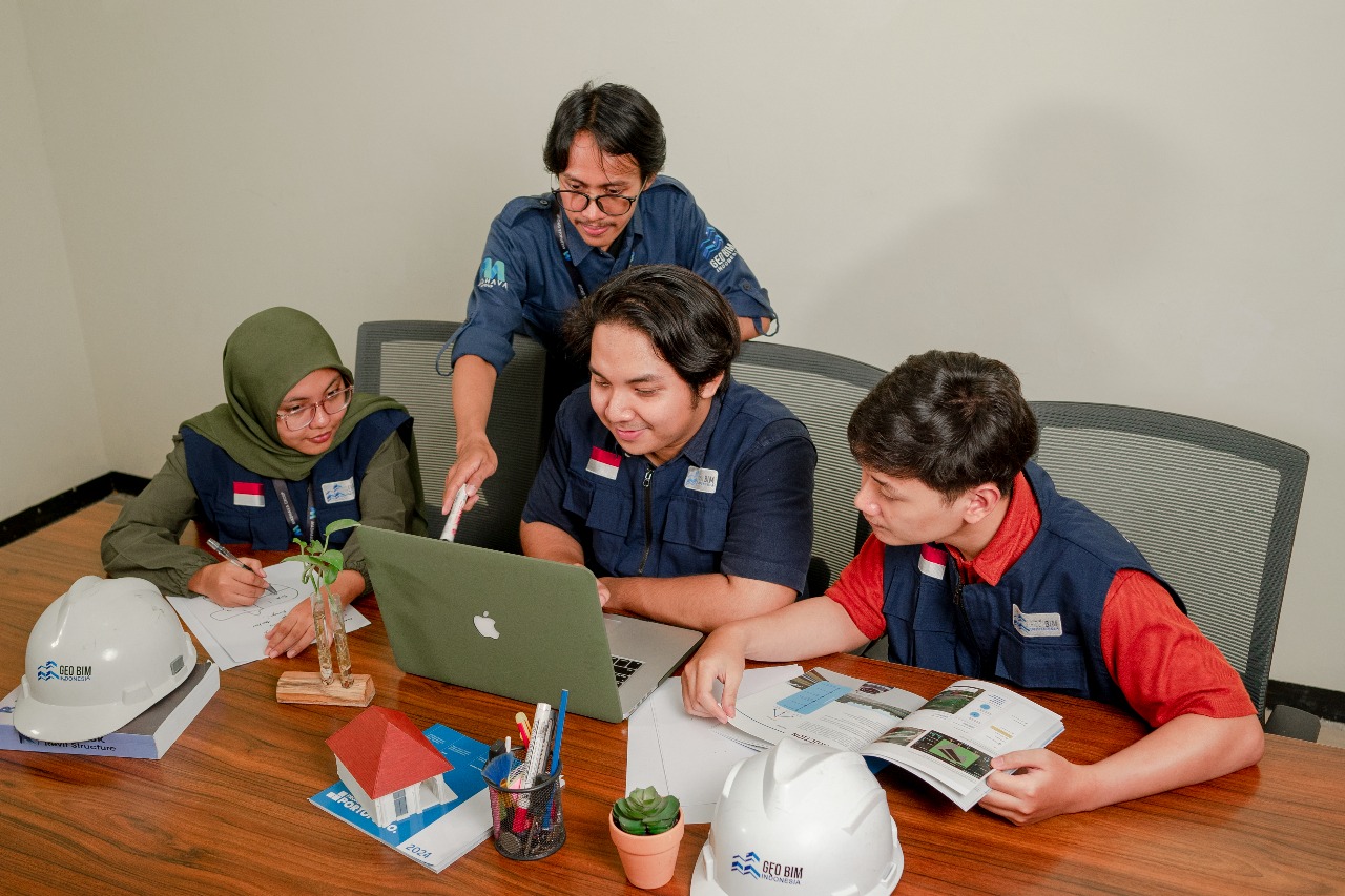
The digital model also improves coordination between architects, structural engineers, MEP consultants, and contractors throughout the design process. Since every discipline works from the same existing-condition model, design conflicts can be identified earlier, reducing revisions during construction and shortening project timelines. Better coordination ultimately leads to more efficient project delivery and improved construction quality.
For government agencies responsible for maintaining multiple educational facilities, digital documentation provides a standardized method for evaluating school buildings across different locations. The availability of accurate spatial information makes it easier to compare building conditions, prioritize funding, and develop long-term maintenance strategies based on measurable data rather than visual estimates alone.
GeoBIM Indonesia Delivers Professional 3D Scanning and 3D Modeling Solutions
As educational infrastructure continues to evolve, digital documentation has become an important foundation for building inspection, renovation planning, and facility management. 3D Scanning and 3D Modeling provide engineers with accurate spatial information that supports better technical assessments, improves collaboration, and reduces uncertainty throughout the renovation process. Instead of relying solely on photographs or manual measurements, project teams gain access to a comprehensive digital representation of the entire building that can be referenced throughout its lifecycle.
GeoBIM Indonesia provides professional 3D Scanning, 3D Modeling, Point Cloud Processing, Scan to BIM, and Digital Twin services for schools, universities, public facilities, commercial buildings, industrial plants, and infrastructure projects. Using advanced reality capture technology and experienced specialists, GeoBIM Indonesia delivers accurate digital models that support structural inspections, renovation planning, asset documentation, and long-term facility management. If your organization requires reliable existing-condition data for building assessment or rehabilitation projects, contact GeoBIM Indonesia to discuss your 3D Scanning and 3D Modeling requirements.
📞 082134939917 (Sales Engineer GeoBIM)
.png)