Kapanewon Wates is one of the important areas in Daerah Istimewa Yogyakarta that has been designated as a Satuan Ruang Strategis (SRS). SRS Pusat Kota Wates plays a key role as a growth center in the western part of Yogyakarta, serving as a hub for government activities, economy, social interaction, and cultural development.
SRS Pusat Kota Wates and Its Strategic Role
As part of a Satuan Ruang Strategis, Kota Wates holds an important position within the spatial structure of Kulon Progo Regency. The name “Wates,” which means “boundary,” reflects its historical role as a dividing area between Mataram Gading and Mataram Krajan in the 18th century. This historical background is still reflected in the urban layout and several remaining old buildings across the area. Today, SRS Pusat Kota Wates functions as a major activity node. Government services, trade, education, and public facilities continue to grow and strengthen its role as the main driver of development in western Yogyakarta.
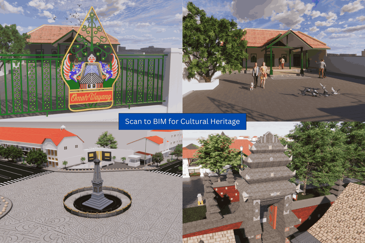
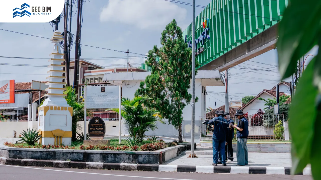
Kota Wates has diverse potential that reinforces its status as an SRS. On the economic side, local activities such as the tilapia collection center in Bulurejo show a strong connection between urban functions and surrounding community livelihoods. From a historical and cultural perspective, several important landmarks remain preserved, including Bale Agung, Tugu Pagoda, and Wates Station. These structures represent different phases of the city’s development, from colonial times to the present.
Social and religious diversity also plays a major role in shaping the identity of the area. GKJ Wates, Masjid Jami Wates, BOPKRI II Wates, and the Boro mission area illustrate a harmonious and diverse urban society.
3D Scanning and 3D Modeling for SRS Pusat Kota Wates
Rapid development has brought significant changes to Kota Wates. Infrastructure expansion, economic growth, and population increase create pressure on historical buildings and cultural landscapes. Several heritage elements face the risk of alteration or even loss. This situation makes detailed documentation of important objects essential to preserve the identity of the area.
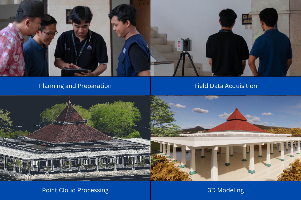
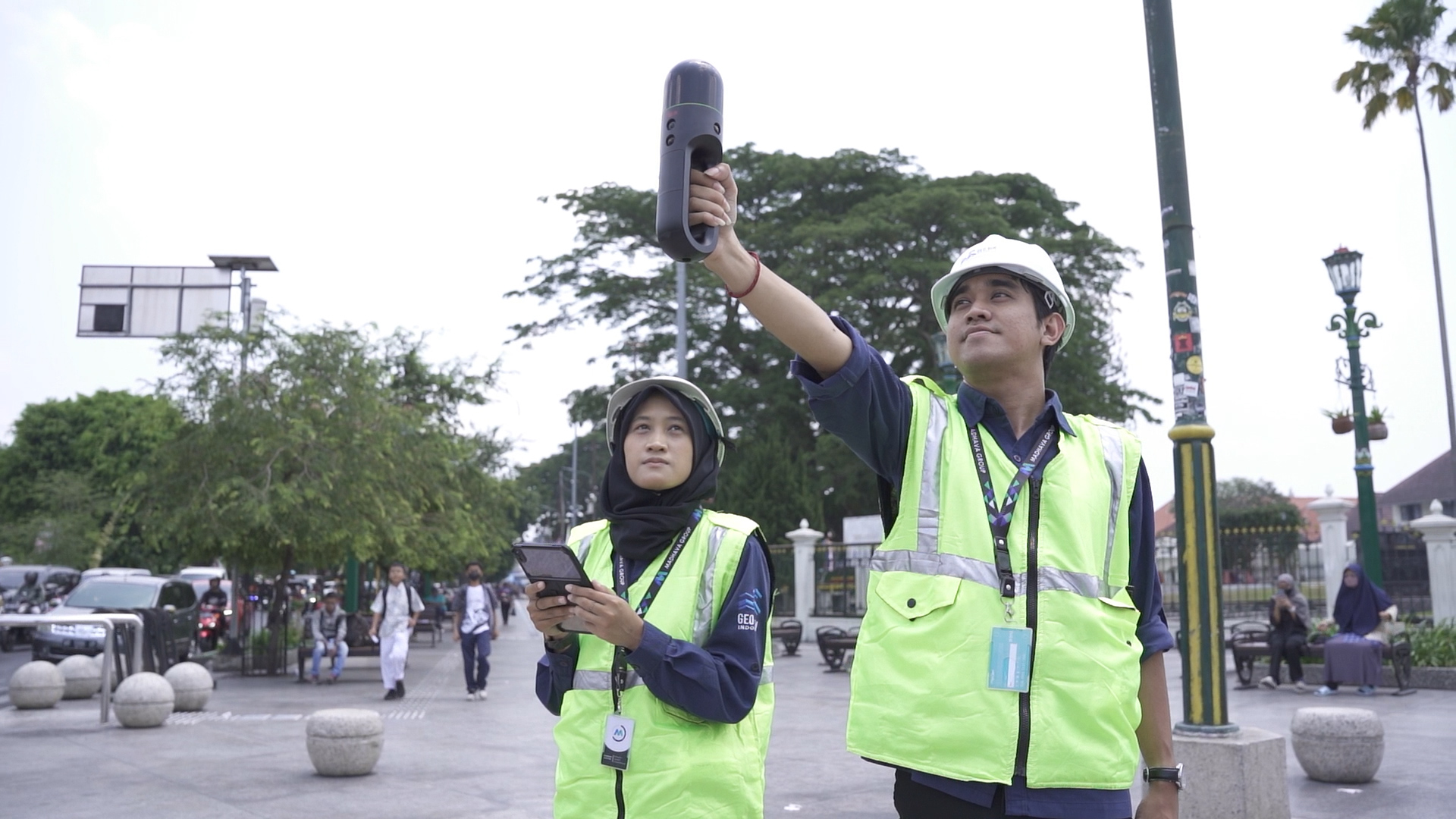
3D Scanning technology allows precise data capture of buildings and heritage objects within SRS Pusat Kota Wates. Every surface, structure, and architectural detail is recorded into highly accurate digital data. The scanned data is then processed into 3D Modeling, a three-dimensional digital representation that reflects the real-world condition of the object with high precision. This model stores both visual and geometric information of historical buildings in Kota Wates. If physical damage or changes occur, the digital model can serve as a reference for restoring the original form with strong accuracy.
Benefits of 3D Modeling for Kota Wates
The use of 3D Scanning and 3D Modeling in Kota Wates provides significant benefits for heritage preservation and urban management. Digital records help maintain visual documentation of historical buildings even when physical conditions change over time.
3D models also support urban development planning, from existing condition evaluation to spatial change simulation. These insights help maintain balance between urban growth and historical preservation. In addition, digital visualization enhances educational experiences and creates more interactive cultural learning opportunities, as well as supporting more informative tourism development.
GeoBIM Indonesia for 3D Scanning and Modeling Solution
GeoBIM Indonesia provides professional services in geospatial documentation, 3D Scanning, and 3D Modeling for heritage sites, urban areas, and infrastructure assets. Through high-precision digital capture and modeling workflows, GeoBIM Indonesia supports accurate documentation of strategic areas such as SRS Pusat Kota Wates.
The services help stakeholders record existing conditions in detail, support preservation activities, and assist in planning future development with clear and reliable digital references.With expertise in geospatial technology and digital modeling, GeoBIM Indonesia delivers solutions that transform real-world assets into precise and usable digital representations for analysis, preservation, and planning.
SRS Pusat Kota Wates holds an important role as a strategic urban area in western Yogyakarta. Its combination of historical value, economic activity, and urban development makes it a growing city that still maintains a strong identity. The use of 3D Scanning and 3D Modeling provides a modern way to preserve its heritage. With support from GeoBIM Indonesia, the historical footprint of Kota Wates can be properly documented while supporting more structured future development.
Consult your 3D Scanning needs with GeoBIM Indonesia to achieve accurate and efficient results!
📞 082134939917 (Sales Engineer GeoBIM)
.png)