.webp)
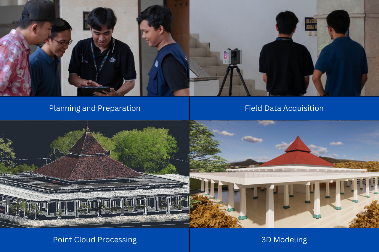
In today’s digital construction workflow, Scan to BIM has become a key solution for creating accurate BIM (Building Information Modeling) models that represent real-world conditions. Technologies such as TLS (Terrestrial Laser Scanner) enable fast and detailed data acquisition in the form of point cloud.
However, there is still a common assumption that more scan positions automatically lead to better results.
In reality, it’s not that simple.
Point cloud accuracy does not solely depend on the number of scan points. Adding more scans without proper planning can actually create new problems, such as redundant data, longer acquisition and processing time, and increased project costs. In practice, projects do not only demand accuracy, but also efficiency.
So, what should be prioritized to achieve optimal Scan to BIM results?
The Importance of Overlap in Point Cloud
One of the most critical factors in Scan to BIM is the overlap between scans. Overlap plays a key role in the registration process, where multiple point cloud datasets are aligned into a single cohesive model.
Without sufficient overlap, achieving precise alignment becomes difficult, and in some cases, impossible.
According to Widyastuti et al. (2022), cloud-to-cloud registration becomes difficult to perform when the overlap between two point cloud datasets is less than 30%. This means that, for optimal results, scan overlap should ideally exceed this threshold.
With adequate overlap, the system can identify common features between datasets and align them accurately. On the other hand, low overlap reduces matching reliability and increases the risk of misalignment.
.webp)
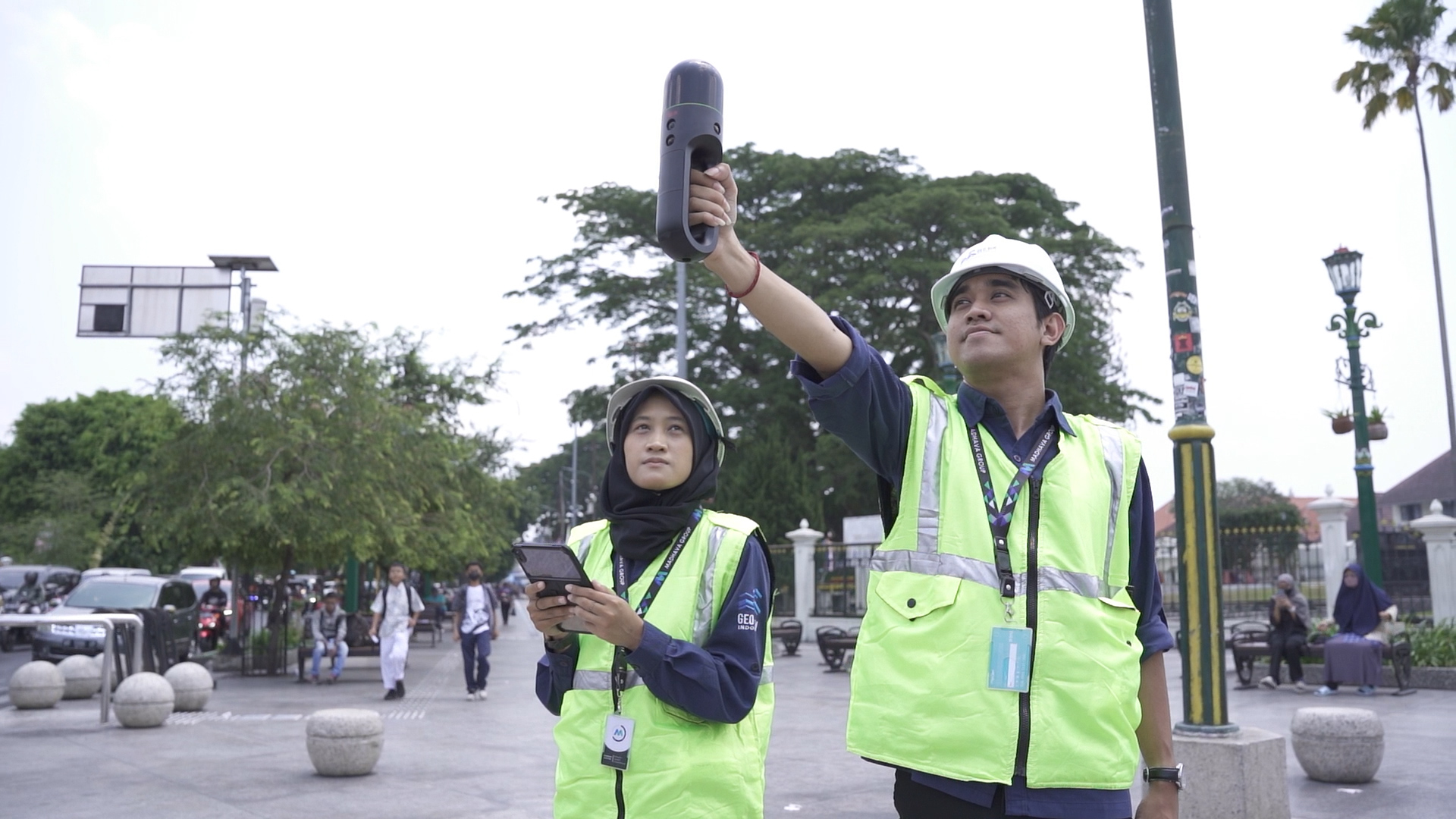
Scan Distance and Acquisition Efficiency
Another important factor that is often overlooked is the distance between scan positions. When scan points are placed too far apart, the overlap between datasets decreases, increasing the risk of losing geometric detail.
This directly impacts the registration process and may result in a less accurate model.
Conversely, shorter distances between scan positions, typically less than 20 meters, depending on site conditions, help maintain data continuity. This improves overlap consistency and simplifies the registration process.
That said, the goal is not to simply reduce distance or increase scan quantity, but to find the right balance. Proper spacing ensures both high-quality data and efficient use of time and resources.
.webp)
Optimizing Your Scan to BIM Strategy
Ultimately, the success of Scan to BIM lies in strategic planning. Scan positions that are well-distributed, interconnected, and thoughtfully placed will produce higher-quality point cloud data.
This approach is far more effective than increasing the number of scans without a clear strategy.
With proper planning, data acquisition becomes more efficient, processing time is reduced, and the resulting BIM model remains accurate. This balance is essential in construction and building management projects, where both precision and efficiency are critical.
In the end, successful Scan to BIM is not about how many scans you take, but how well you plan them.
Consult your Scan to BIM needs with GeoBIM Indonesia to achieve accurate and efficient results.

.png)