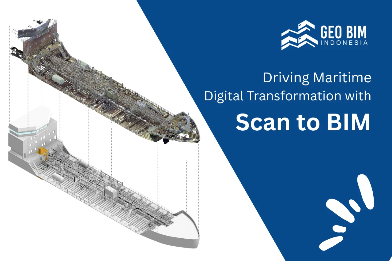
Digital transformation has now reached the maritime world. One of the innovations driving this change is the adoption of Scan to BIM, a process that converts 3D laser scan data into highly accurate digital models of ships.
From Physical Ship to Digital Model
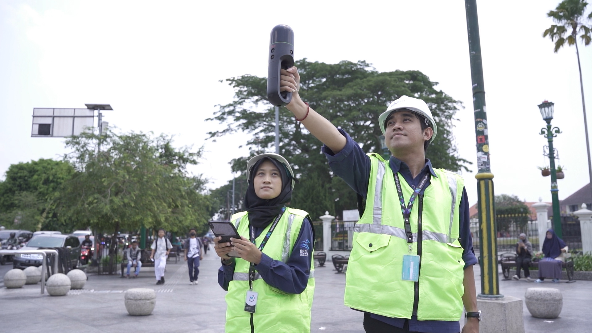
3D laser scanning technology enables the precise capture of a ship’s physical condition. The resulting point cloud data is then processed into Building Information Modeling (BIM), a comprehensive digital representation of the ship that includes its structure, piping systems, electrical networks, and machinery.
This process does more than produce a visual model; it also stores essential technical information that can be accessed anytime for analysis, planning, or documentation.
Real Benefits for the Maritime Industry
The digital ship model serves as a central, data-rich resource that supports multiple aspects of vessel lifecycle management:
- Condition Assessment: Identify structural damage, corrosion, or component wear with precision.
- Design Verification: Compare the as-built condition with the original design to ensure compliance and integrity.
- Maintenance Planning: Simulate and plan repair or replacement activities with minimal disruption.
- Documentation and Compliance: Maintain a complete, accessible digital record for audits and inspections.
- Retrofit and Conversion Projects: Facilitate accurate planning when upgrading or modifying vessels.
By adopting Scan to BIM, maritime stakeholders gain more control, reduce operational risks, and improve efficiency throughout the vessel’s lifecycle — from construction and maintenance to refurbishment and decommissioning.
Scan to BIM unlocks new opportunities for the maritime industry to achieve greater efficiency, accuracy, and transparency. Whether for routine maintenance, technical audits, or shipyard development, BIM models provide a strong digital foundation for informed decision-making. In other words, this is how the maritime industry steps into the digital era, transforming spatial data into actionable insights and making technology an integral part of long-term sustainability strategies.
Geo BIM Indonesia — Your Trusted Partner in Maritime Scan to BIM Solutions
From millions of data points (point clouds), our team can build a 3D model of a vessel with the desired level of detail. Through our expertise in Scan to BIM, we help shipyards, engineers, and vessel owners transform physical ships into accurate digital models that support smarter operations and maintenance. With Geo BIM Indonesia as your trusted partner, you gain more than just a model, you gain data-driven insight that supports better decisions, reduces risk, and improves efficiency across your maritime operations.
Together, let’s bring the future of ship management and engineering to life through Scan to BIM technology.
.png)