The physical condition of a road can change over time, due to utilization of road space, reconstruction, capacity upgrades, or utility installations. All of these changes must be officially recorded to ensure road management remains controlled and well-monitored. This is where the Road Ledger plays a vital role in infrastructure asset inventory.
What is a Road Ledger?
A Road Ledger is an inventory document that contains comprehensive data and the history of a road section, covering legal, technical, usage, and funding aspects. It serves as a primary reference for road management, maintenance, and infrastructure development planning.
A Road Ledger includes detailed information about a road, from its identity, location maps, right-of-way (Rumija), to all assets along the route. These assets include Road Ledger markers, BIG/BPN markers, pavement structures, drainage systems, bridges, utilities, billboards, and road safety facilities. Additionally, the Ledger records construction, rehabilitation, and maintenance histories, which guide the preparation of road management work plans.
However, conventional methods of preparing Road Ledgers, still based on tables and CAD drawings, often make visual interpretation difficult. Data updates may also be unsynchronized because documents are stored separately across agencies and are not always updated when physical changes occur.
BIM: Transforming Road Ledgers into the Digital Era
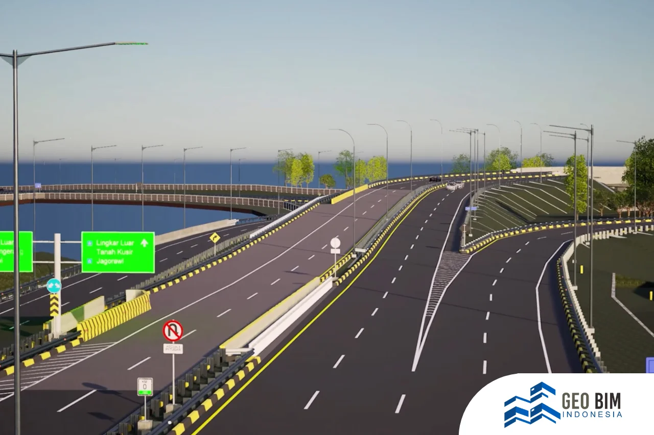
Through Building Information Modeling (BIM), all Road Ledger data can be transformed into an integrated digital format. Road assets are visualized in 3D models, allowing on-site conditions to be understood quickly and accurately. Each element can include detailed attributes such as dimensions, materials, and year of construction.
Digitalizing Road Ledgers is not just documentation, it is a strategic step toward transparent and efficient infrastructure asset management. With BIM, road management agencies can:
- Prepare maintenance plans accurately
- Monitor asset conditions continuously
- Avoid overlapping use of road space
- Increase efficiency in planning costs and time
Integrating all data into a single digital platform makes Road Ledgers easier to access, analyze, and manage.
Scan to BIM & 3D Modeling of Road Assets
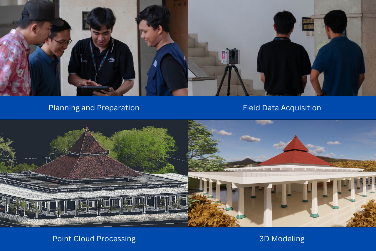
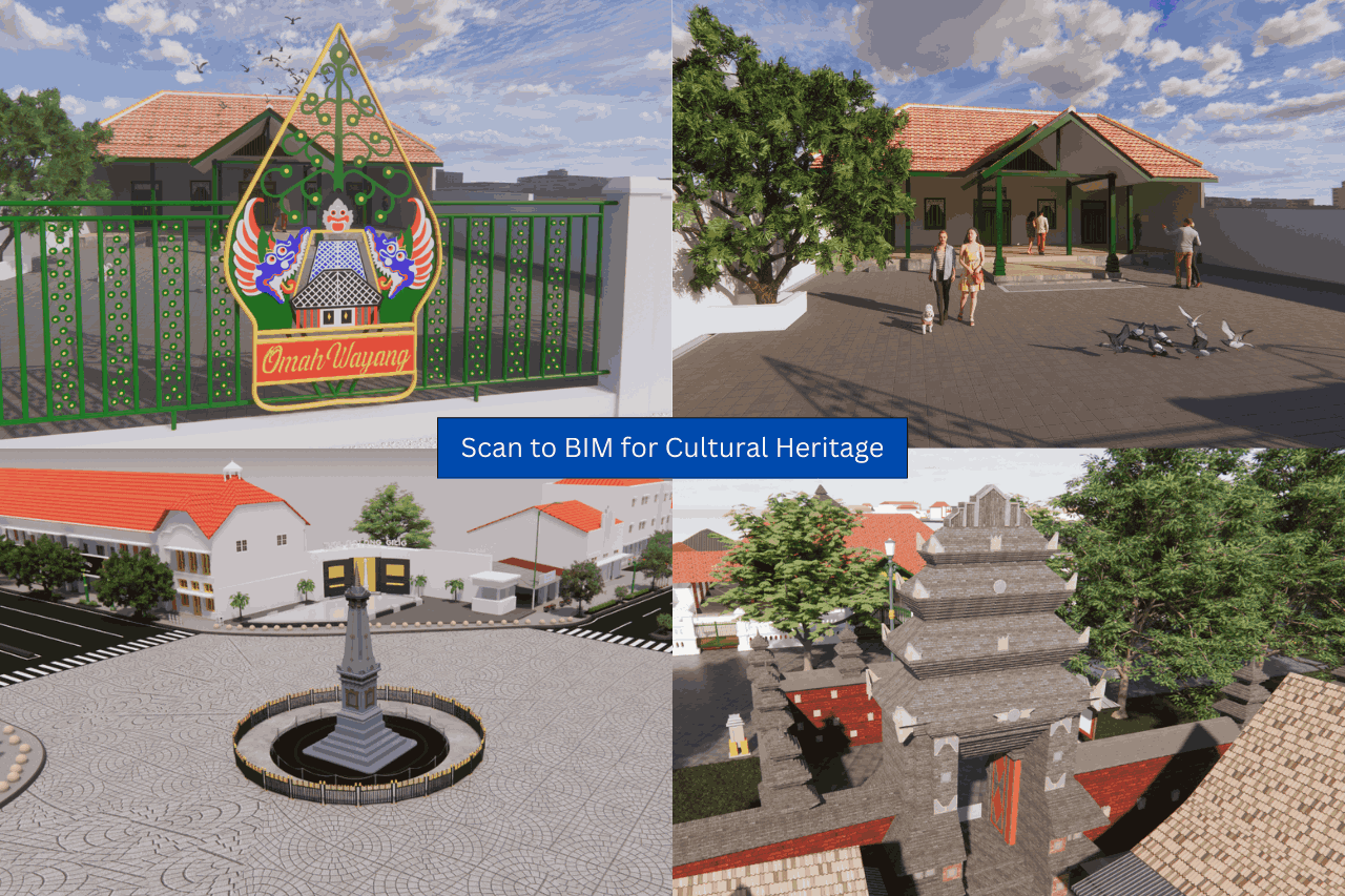
To support the digital transformation of Road Ledgers, GeoBIM provides Scan to BIM and 3D Modeling services using high-accuracy scanning. Using drone LiDAR, terrestrial laser scanning, and photogrammetry, the physical condition of roads is captured in detailed point clouds. This data is then converted into structured 3D BIM models, complete with dimensions, materials, positions, and year of construction.
All processes are carried out comprehensively, accurately, and efficiently—from field measurements and data processing to the final digital model. This approach enables road managers to make planning and maintenance decisions more effectively.
Ready to collaborate on digitalizing your Road Ledger? Contact us for further discussion!
📞 +62 838-3866-5598 (Sales Engineer – GeoBIM Indonesia)

.png)