.webp)
Wates is emerging as one of the strategic areas in the Special Region of Yogyakarta (DIY), particularly in the western part of the province. As the administrative center of Kulon Progo Regency, Wates plays a significant role in driving regional growth. However, beyond its modern development, Wates also holds rich historical and cultural values that make it essential to preserve.
Historically, the name “Wates” means “boundary.” In the 18th century, this area marked the border between Mataram Gading and Mataram Krajan. This historical background has shaped the unique spatial identity of Wates, reflected in its urban morphology, settlement patterns, and the presence of heritage buildings that still stand today. Therefore, Wates is not only important as a growing urban center but also as a cultural landscape with significant historical value.
Cultural Heritage Potential in Wates
As a strategic spatial unit, Wates showcases a combination of economic, social, and cultural potentials. From an economic perspective, areas such as Bulurejo are known as centers for tilapia collection, supporting local livelihoods and reinforcing the region’s economic base.
At the same time, historical traces are evident in colonial-era buildings scattered across the city. Landmarks such as Bale Agung, Tugu Pagoda, and Stasiun Wates serve as reminders of the area’s historical development. Additionally, the presence of educational, healthcare, and religious facilities, such as BOPKRI II Wates, the Boro missionary area, Gereja Kristen Jawa (GKJ), and Masjid Jami Wates, further strengthens Wates as a vibrant and multifunctional urban area.
Despite these potentials, rapid urban development poses challenges to preserving cultural heritage assets. Land-use changes, infrastructure expansion, and natural aging processes can threaten the integrity of these historical structures. This is where modern technology becomes crucial in ensuring sustainable preservation.
.webp)
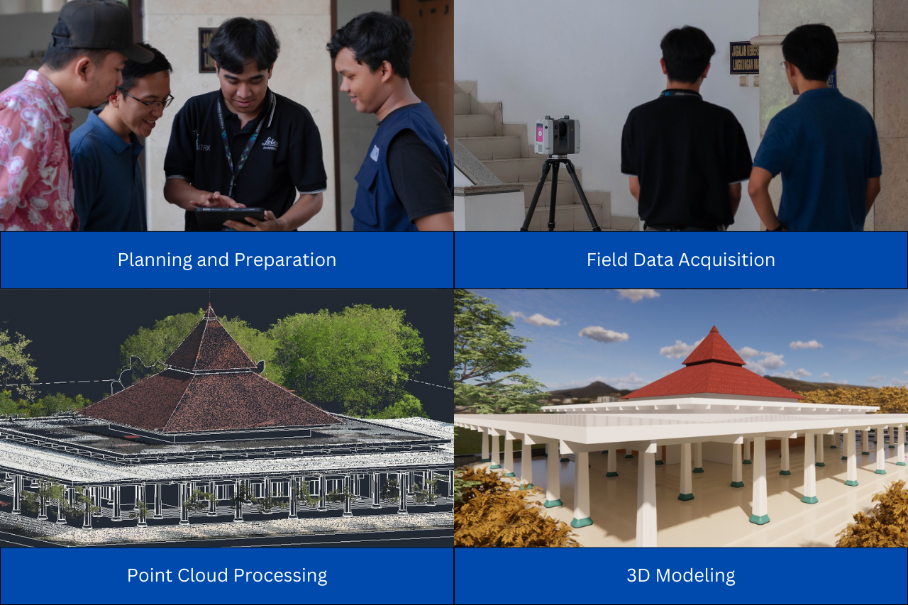
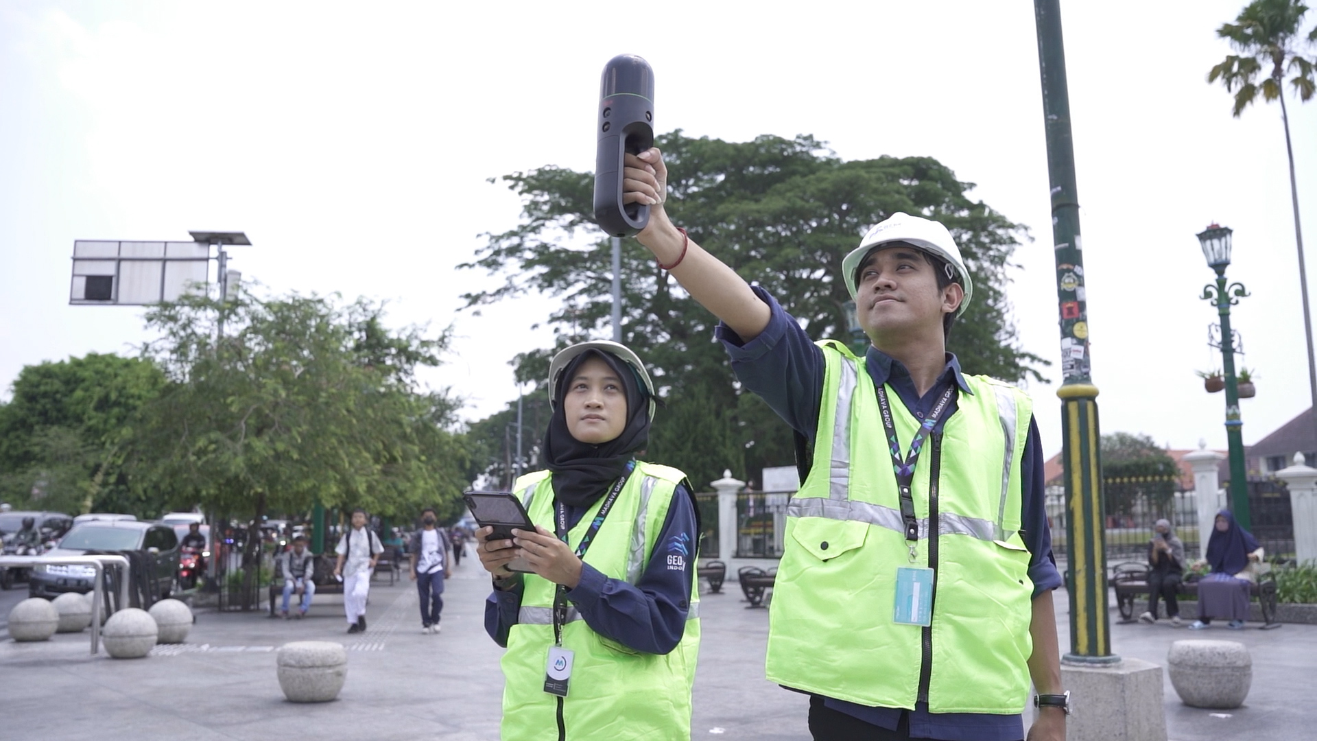
3D Scanning and Modeling for Reconstruction and Preservation
One of the most effective technologies for heritage preservation today is 3D Scanning. This method enables highly detailed and accurate documentation of physical objects in a relatively short time. Using advanced scanning devices, buildings can be captured as precise three-dimensional data, including their geometry, dimensions, and surface textures.
The main advantage of 3D Scanning lies in its precision. Every architectural detail, no matter how small, can be recorded and preserved digitally. This level of accuracy is especially important for cultural heritage, where authenticity and detail are critical. Compared to conventional documentation methods, 3D Scanning offers a more reliable and comprehensive solution.
The data obtained from 3D Scanning is then processed into 3D Modeling, which creates a digital representation of the scanned object. This model can be used for various purposes, particularly for reconstruction. In cases where heritage buildings are damaged due to natural disasters, fire, or structural degradation, 3D models provide a precise reference for restoration. Reconstruction efforts can be carried out more accurately because the original form of the structure has already been digitally preserved.
.webp)
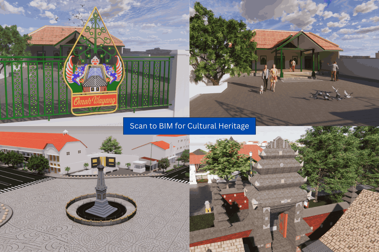
Beyond reconstruction, 3D Modeling also serves as a preventive measure. The digital models act as long-term archives, ensuring that critical information about heritage objects is preserved even if the physical structures are lost or severely damaged. In this sense, preservation extends beyond the physical realm into digital conservation.
The benefits of 3D Modeling go beyond documentation and reconstruction. These digital models can also be used as interactive educational tools, helping students and the public better understand the historical significance of heritage sites. In tourism, 3D visualizations can enhance digital promotion strategies, allowing wider audiences to explore heritage sites virtually. Meanwhile, in urban planning, 3D models can support masterplan development, spatial analysis, and simulation of future scenarios. This aligns with the growing adoption of smart city concepts and digital twin technologies.
As a strategic area, Wates holds significant potential not only in terms of economic growth but also in its rich cultural and historical heritage. By utilizing technologies such as 3D Scanning and 3D Modeling, the preservation of cultural heritage can be carried out more effectively, accurately, and sustainably. With the right combination of technology and collaboration, Wates can continue to grow as a modern urban center while preserving its historical identity for future generations.
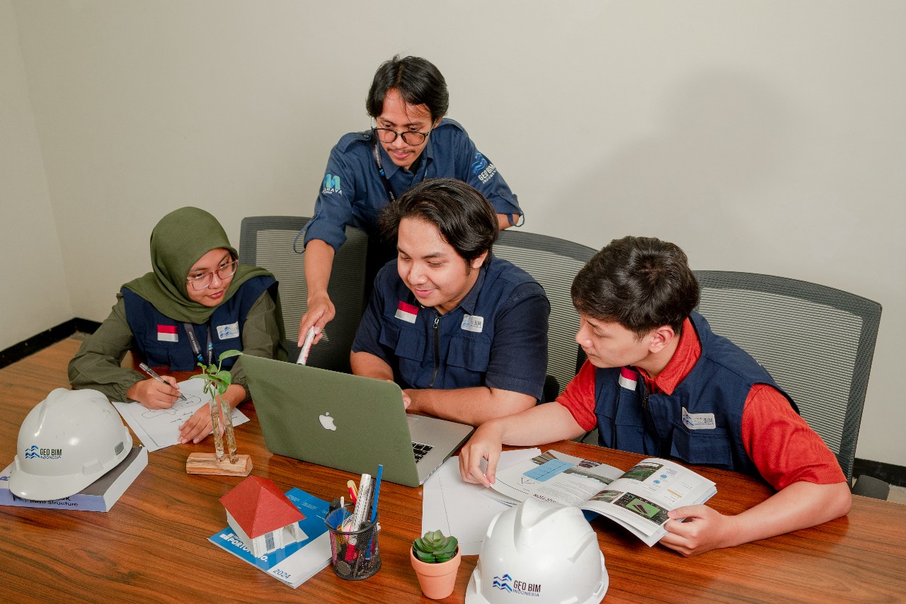
GeoBIM Indonesia as Your Professional Partner in 3D Solutions
GeoBIM Indonesia provides comprehensive services in 3D Scanning and 3D Modeling for various applications, including cultural heritage preservation. With strong expertise in geospatial technology and digital mapping, GeoBIM Indonesia delivers high-precision 3D models that can be used for documentation, reconstruction, and urban planning. Their data-driven approach ensures that development and preservation can go hand in hand.
In conclusion, the integration of advanced technologies such as 3D Scanning and 3D Modeling plays a crucial role in preserving cultural heritage in Wates. By combining innovation with historical awareness, preservation efforts can become more accurate, efficient, and sustainable. As a trusted partner, GeoBIM Indonesia is committed to supporting digital preservation, reconstruction, and spatial planning through high-precision 3D solutions. With this approach, Wates can continue to grow as a modern strategic area while safeguarding its cultural identity for future generations.
Aku mau nambah bagian konten lainnya
.png)