British School Jakarta
British School Jakarta
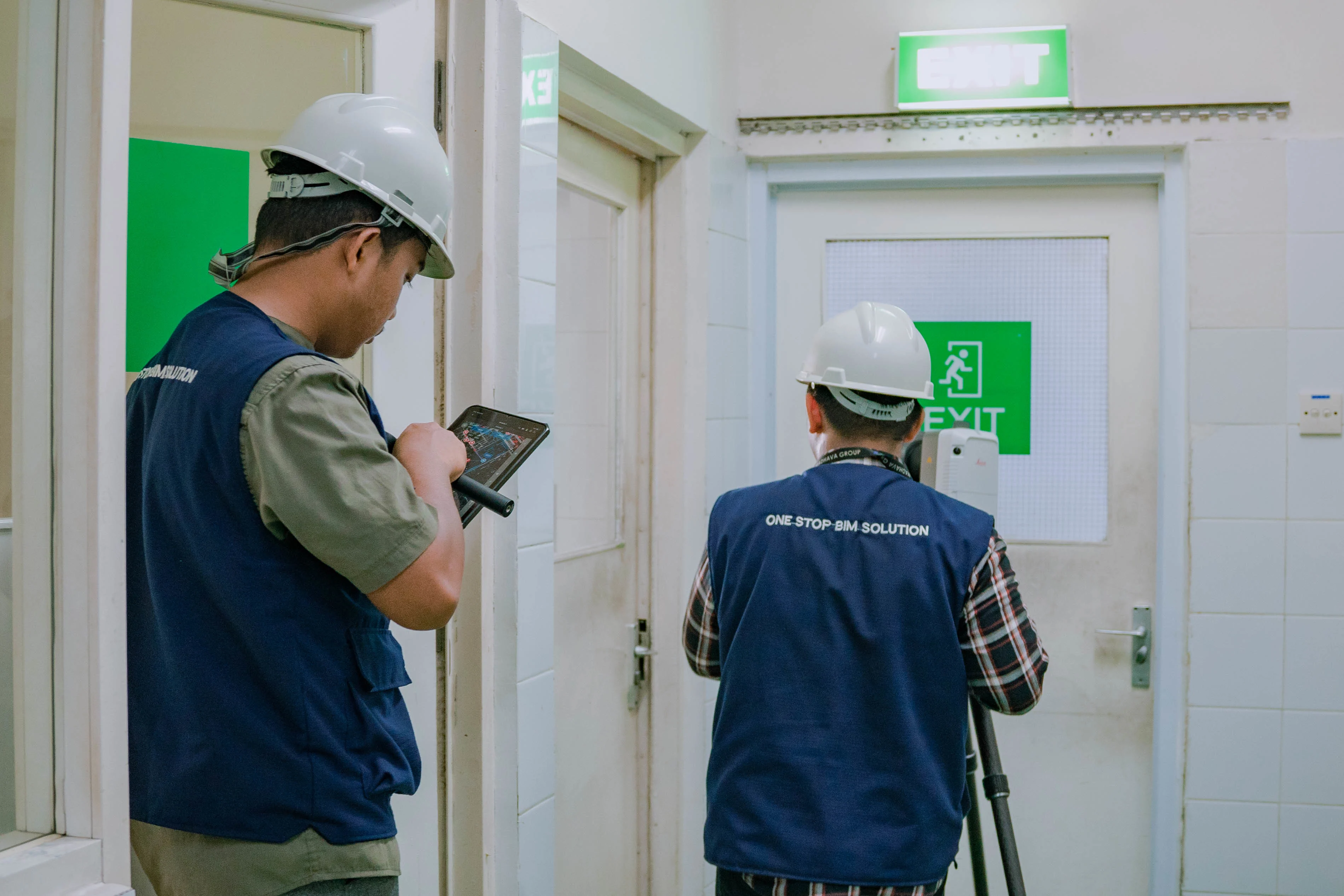
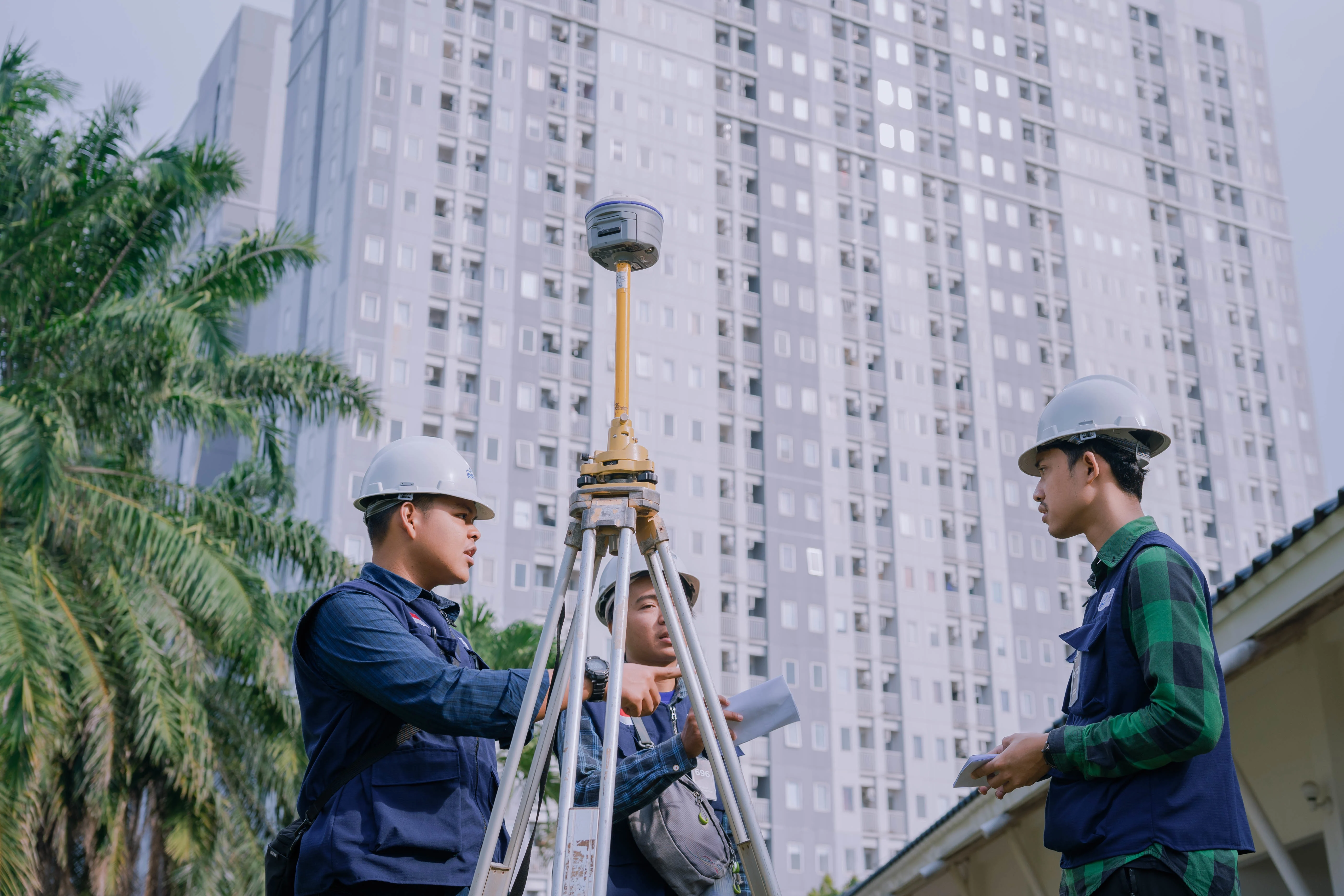
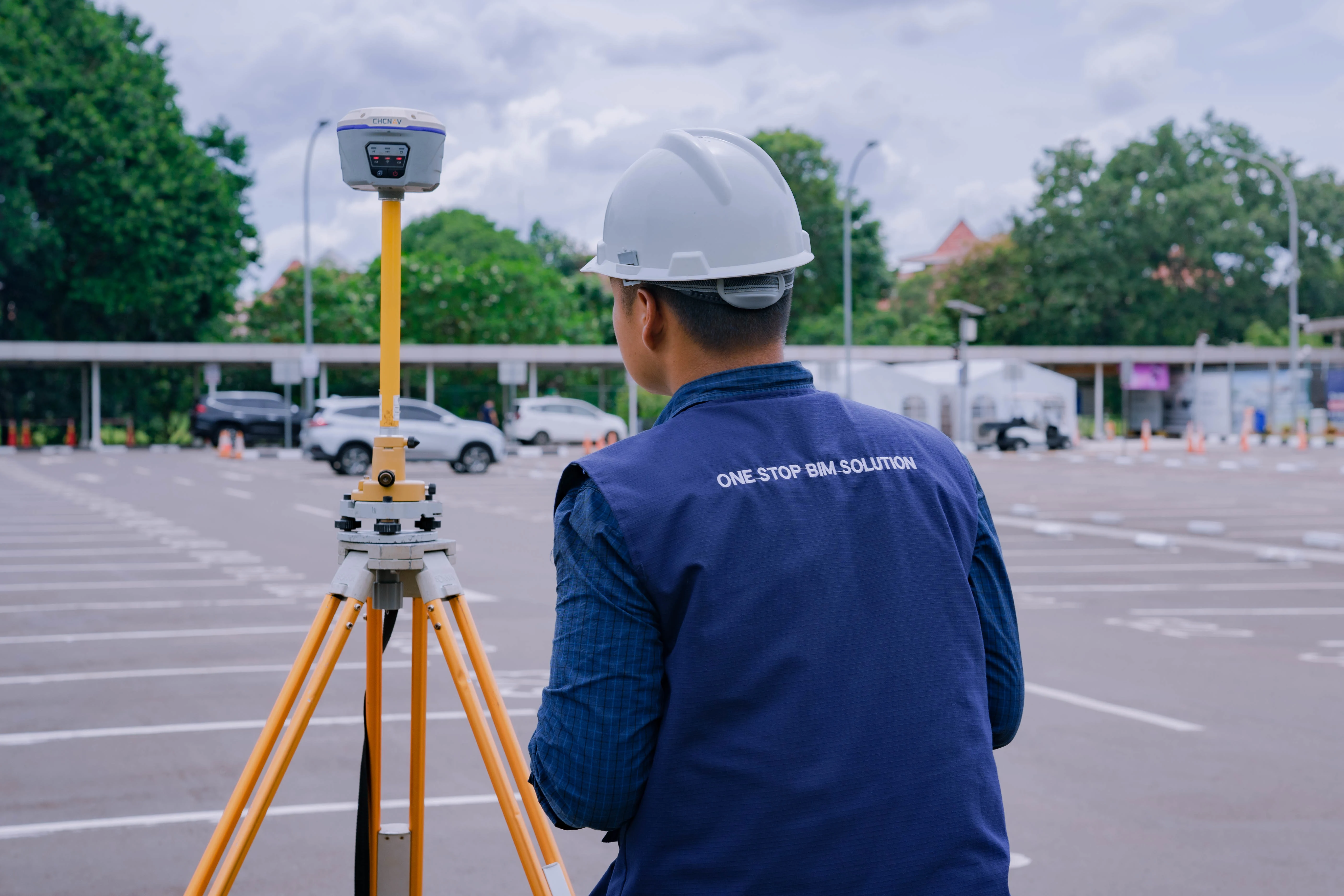
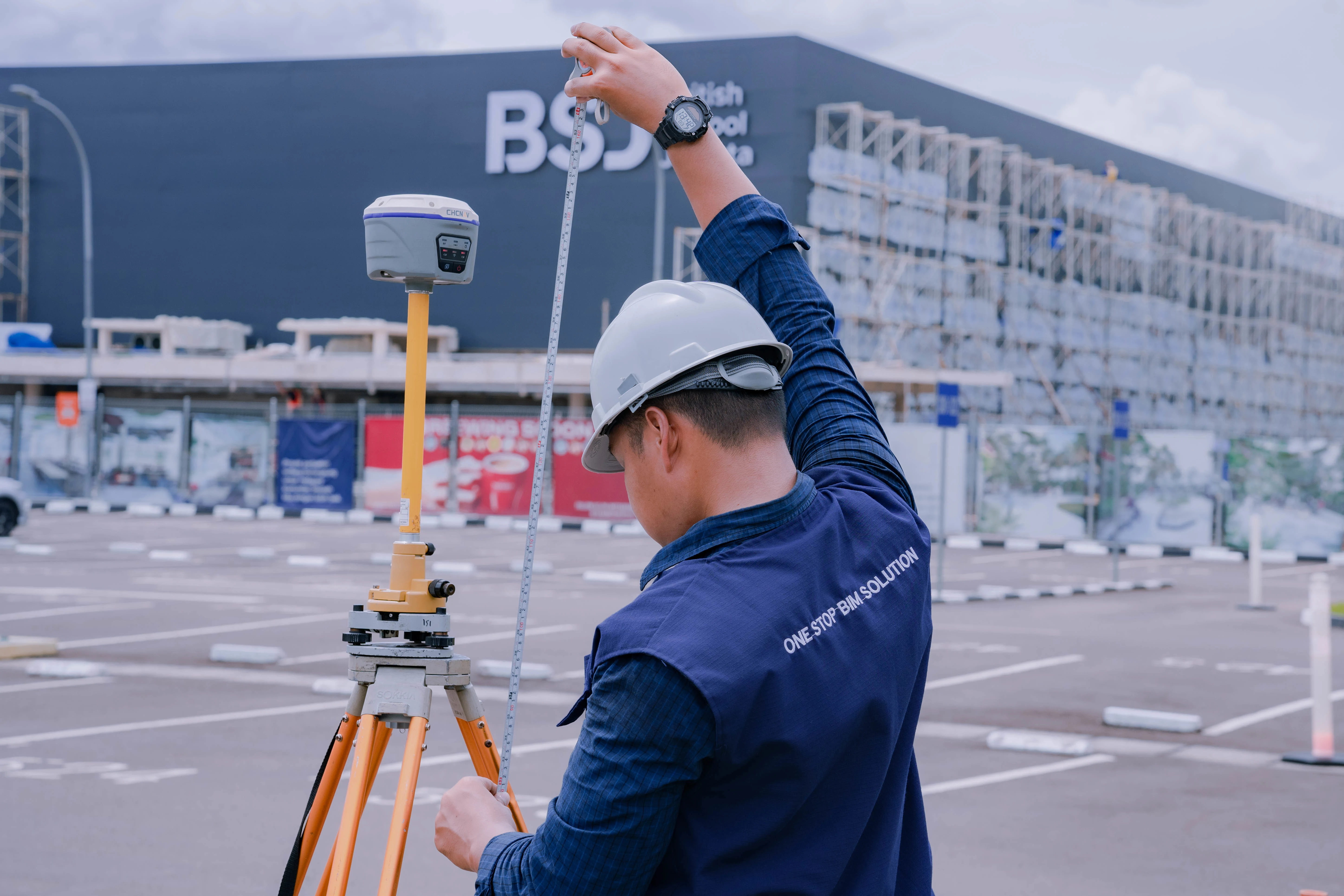
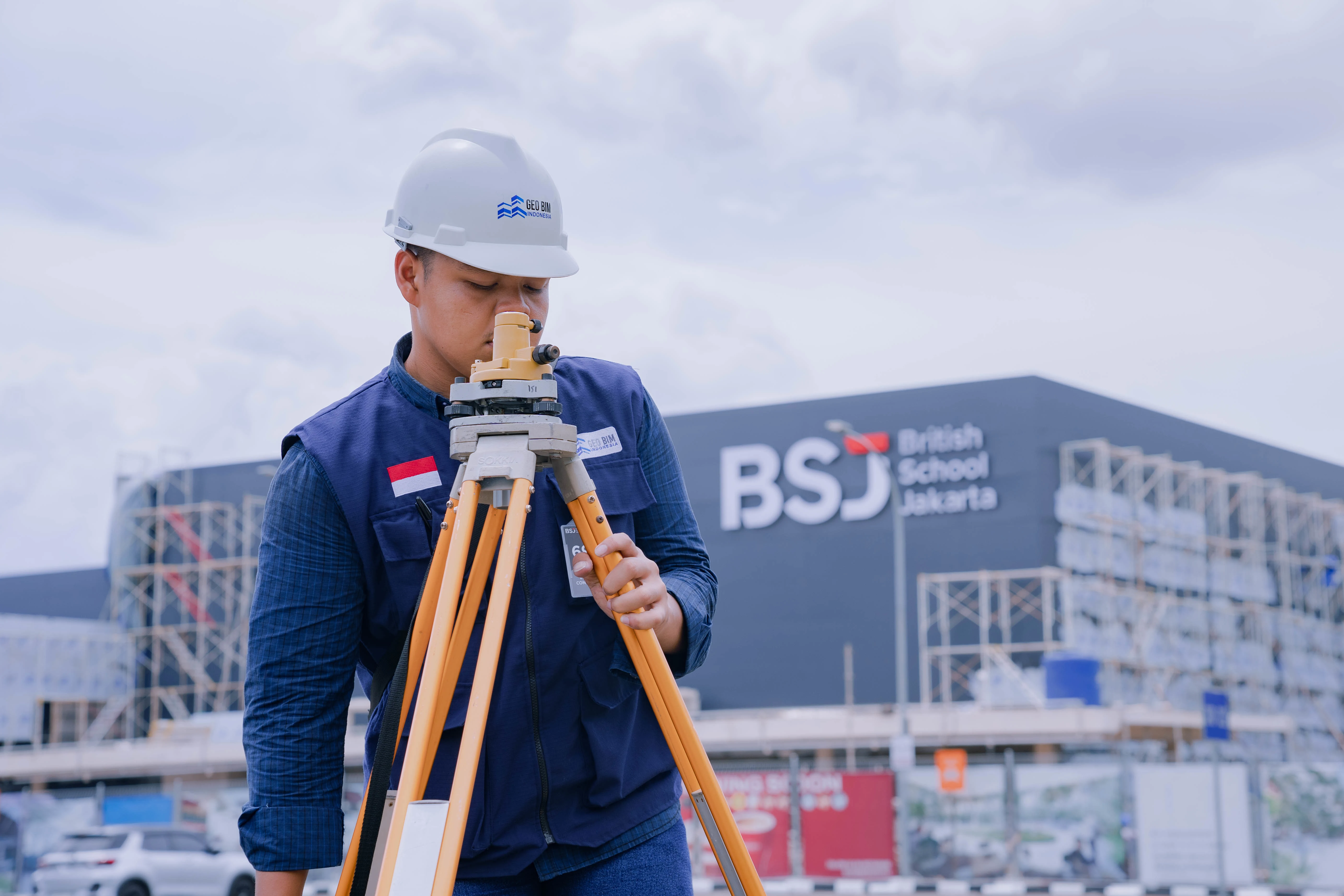
British School Jakarta (BSJ) is an international school located in Bintaro, South Tangerang, Banten. The 17.33-hectare International School was successfully modeled by the GeoBIM Indonesia Team with various survey methods, ranging from Laser Scanner, GPS, Drone, and LiDAR. From aerial photography and LiDAR surveys, the topography of the BSJ area was obtained to determine the existing conditions and elevation differences in BSJ, especially the river area. Meanwhile, from Scan to BIM, a 3D model of the entire British School Jakarta area was obtained, including building structures, vegetation landscape areas, and outdoor facilities. The GeoBIM team also carried out underground scanning on rainwater drainage lines and clean water pipelines.
Scan to BIM results and topographic data are not only useful for documentation, but also an important foundation in asset management. With this digital model, the school can monitor the real-time condition of buildings, landscapes and infrastructure, including drainage lines and water pipes. The data enables more efficient maintenance planning, early detection of potential damage, and optimization of space and energy usage. With BIM as the information hub, asset management at BSJ is more organized, precise, and sustainable in the long run.