British School Jakarta
British School Jakarta
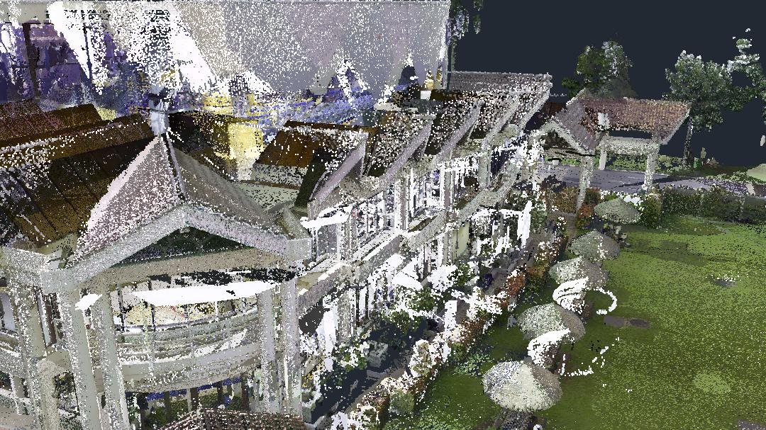
We present the point cloud project of British School Jakarta (BSJ), British School Jakarta (BSJ) is an international school located in Bintaro, South Tangerang, Banten. This 17.33-hectare International School was successfully modeled by the GeoBIM Indonesia Team using various survey methods, ranging from Laser Scanner, GPS, Drone, and LiDAR. From the aerial photo and LiDAR surveys, the topography of the BSJ Area was obtained to determine the existing conditions and differences in elevation in BSJ, especially the river area. Meanwhile, from Scan to BIM, a 3D model of the entire British School Jakarta area was obtained, including building structures, vegetation landscape areas, and outdoor facilities. The GeoBIM Team also conducted underground scanning of rainwater drainage channels and clean water pipes.
British School Jakarta (BSJ) is an international school located in Bintaro, South Tangerang, Banten. The 17.33-hectare International School was successfully modeled by the GeoBIM Indonesia Team with various survey methods, ranging from Laser Scanner, GPS, Drone, and LiDAR. From aerial photography and LiDAR surveys, the topography of the BSJ area was obtained to determine the existing conditions and elevation differences in BSJ, especially the river area. Meanwhile, from Scan to BIM, a 3D model of the entire British School Jakarta area was obtained, including building structures, vegetation landscape areas, and outdoor facilities. The GeoBIM team also carried out underground scanning on rainwater drainage lines and clean water pipelines.